200 Brookings Ln Peachtree City, GA 30269
Estimated Value: $1,381,000 - $1,752,000
--
Bed
--
Bath
3,595
Sq Ft
$428/Sq Ft
Est. Value
About This Home
This home is located at 200 Brookings Ln, Peachtree City, GA 30269 and is currently estimated at $1,537,906, approximately $427 per square foot. 200 Brookings Ln is a home located in Fayette County with nearby schools including Kedron Elementary School, Booth Middle School, and McIntosh High School.
Ownership History
Date
Name
Owned For
Owner Type
Purchase Details
Closed on
Aug 14, 2002
Sold by
Huddleston-Thompson Inc
Bought by
Holmes Richard L and Holmes Linda M
Current Estimated Value
Home Financials for this Owner
Home Financials are based on the most recent Mortgage that was taken out on this home.
Original Mortgage
$582,800
Outstanding Balance
$251,799
Interest Rate
5.63%
Mortgage Type
New Conventional
Estimated Equity
$1,286,107
Create a Home Valuation Report for This Property
The Home Valuation Report is an in-depth analysis detailing your home's value as well as a comparison with similar homes in the area
Home Values in the Area
Average Home Value in this Area
Purchase History
| Date | Buyer | Sale Price | Title Company |
|---|---|---|---|
| Holmes Richard L | $107,100 | -- |
Source: Public Records
Mortgage History
| Date | Status | Borrower | Loan Amount |
|---|---|---|---|
| Open | Holmes Richard L | $582,800 |
Source: Public Records
Tax History Compared to Growth
Tax History
| Year | Tax Paid | Tax Assessment Tax Assessment Total Assessment is a certain percentage of the fair market value that is determined by local assessors to be the total taxable value of land and additions on the property. | Land | Improvement |
|---|---|---|---|---|
| 2024 | $7,713 | $630,740 | $100,000 | $530,740 |
| 2023 | $7,373 | $604,760 | $100,000 | $504,760 |
| 2022 | $6,100 | $477,120 | $88,800 | $388,320 |
| 2021 | $7,364 | $421,760 | $68,000 | $353,760 |
| 2020 | $8,908 | $427,640 | $68,000 | $359,640 |
| 2019 | $7,349 | $411,160 | $68,000 | $343,160 |
| 2018 | $8,126 | $380,160 | $66,000 | $314,160 |
| 2017 | $6,809 | $371,320 | $66,000 | $305,320 |
| 2016 | $10,718 | $323,900 | $57,020 | $266,880 |
| 2015 | $10,589 | $314,780 | $57,020 | $257,760 |
| 2014 | $10,155 | $296,780 | $57,020 | $239,760 |
| 2013 | -- | $309,880 | $0 | $0 |
Source: Public Records
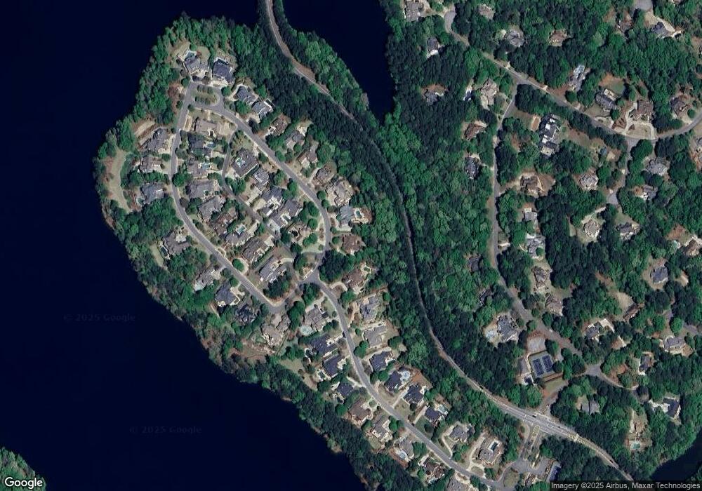
Map
Nearby Homes
- 109 Peninsula Dr
- 606 Wingspread
- 115 Stonington Dr
- 504 Telfair Park
- 100 Smokerise Trace
- 101 Parkway Dr
- 301 Abercorn Square
- 833 Southern Shore Dr
- 300 Abercorn Square
- 107 Rolling Green
- 115 Seymour Place
- 125 Seymour Place
- 718 Avalon Way
- 806 Smokey Way
- 164 Maple Grove Terrace
- 230 Smokerise Trace
- 168 Maple Grove Terrace
- 115 Cottage Grove
- 522 Golfview Dr
- 226 Collierstown Way
- 202 Brookings Ln
- 116 Peninsula Dr
- 116 Peninsula Dr Unit 9
- 204 Brookings Ln
- 201 Brookings Ln
- 114 Peninsula Dr
- 203 Brookings Ln
- 206 Brookings Ln
- 0 Watermark Dr Unit 7495574
- 0 Watermark Dr Unit LOT 26 3288673
- 0 Watermark Dr Unit 3217036
- 0 Watermark Dr Unit 7367125
- 0 Watermark Dr Unit 8770742
- 0 Watermark Dr Unit 8844576
- 0 Watermark Dr Unit 3210340
- 0 Watermark Dr Unit 3217192
- 0 Watermark Dr Unit 3227442
- 0 Watermark Dr Unit 7000092
- 0 Watermark Dr Unit 7010011
- 0 Watermark Dr Unit 7067820