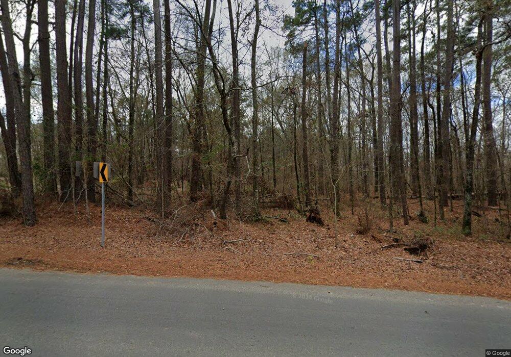
200 C C Sandidge Rd Elm Grove, LA 71051
Elm Grove NeighborhoodEstimated Value: $306,000 - $488,000
3
Beds
2
Baths
2,876
Sq Ft
$147/Sq Ft
Est. Value
About This Home
This home is located at 200 C C Sandidge Rd, Elm Grove, LA 71051 and is currently estimated at $422,253, approximately $146 per square foot. 200 C C Sandidge Rd is a home located in Bossier Parish with nearby schools including Haughton Elementary School, Haughton Middle School, and Haughton High School.
Ownership History
Date
Name
Owned For
Owner Type
Purchase Details
Closed on
Dec 8, 2016
Bought by
Kelly Carl Aris
Current Estimated Value
Home Financials for this Owner
Home Financials are based on the most recent Mortgage that was taken out on this home.
Original Mortgage
$448,580
Outstanding Balance
$368,874
Interest Rate
4.13%
Estimated Equity
$53,379
Purchase Details
Closed on
Oct 25, 2005
Sold by
Mcgee Barry E and Mcgee Doleane M
Bought by
Mcgee Barry E and Mcgee Doleane M
Create a Home Valuation Report for This Property
The Home Valuation Report is an in-depth analysis detailing your home's value as well as a comparison with similar homes in the area
Home Values in the Area
Average Home Value in this Area
Purchase History
| Date | Buyer | Sale Price | Title Company |
|---|---|---|---|
| Kelly Carl Aris | -- | -- | |
| Mcgee Barry E | -- | None Available |
Source: Public Records
Mortgage History
| Date | Status | Borrower | Loan Amount |
|---|---|---|---|
| Open | Kelly Carl Aris | $448,580 | |
| Closed | Kelly Carl Aris | -- |
Source: Public Records
Tax History Compared to Growth
Tax History
| Year | Tax Paid | Tax Assessment Tax Assessment Total Assessment is a certain percentage of the fair market value that is determined by local assessors to be the total taxable value of land and additions on the property. | Land | Improvement |
|---|---|---|---|---|
| 2024 | $2,552 | $22,000 | $667 | $21,333 |
| 2023 | $2,290 | $18,533 | $667 | $17,866 |
| 2022 | $2,213 | $18,533 | $667 | $17,866 |
| 2021 | $2,213 | $18,533 | $667 | $17,866 |
| 2020 | $2,213 | $18,533 | $667 | $17,866 |
| 2019 | $2,219 | $18,469 | $667 | $17,802 |
| 2018 | $2,219 | $18,469 | $667 | $17,802 |
| 2017 | $2,048 | $17,474 | $667 | $16,807 |
| 2016 | $388 | $10,540 | $820 | $9,720 |
| 2015 | $364 | $10,540 | $820 | $9,720 |
| 2014 | $364 | $10,540 | $820 | $9,720 |
Source: Public Records
Map
Nearby Homes
- 949 C Sandidge Rd
- 0 Johnson Dr Unit 20780543
- 1214 C Sandidge Rd
- 1225 C Sandidge Rd
- 1228 C Sandidge Rd
- 613 Moore Rd
- 342 Camp Bistno Rd
- 411 Camp Bistno Rd
- 121 Audleman Rd
- 649 Moore Rd
- 529 Parish Camp Rd
- 1580 Parish Camp Rd
- 0 Hwy 157 Lot 1 Hwy Unit 20830664
- 0 Green Park Rd
- 172 Bass St
- 273 Bass St
- 208 Palmetto Dr
- #1 Palmetto Dr
- 321 Evangeline Dr
- 159 Pine Cir
- 200 C Sandidge Rd
- 915 Fairview Point Rd
- 982 Fairview Point Rd
- 401 C C Sandidge Rd
- 134 Tooke Rd
- 172 Tooke Rd
- 160 Pine Cove Rd
- 662 Fairview Point Rd
- 206 Pine Cove Rd
- 230 Pine Cove Rd
- 1483 Fairview Point Rd
- 517 C C Sandidge Rd
- 1492 Fairview Point Rd
- 1860 Watkins Rd
- 1500 Fairview Point Rd
- 533 C Sandidge Rd
- 205 Pine Cove Rd
- 1885 Watkins Rd
- 533 C C Sandidge Rd
- 0 Pine Cove Rd Unit 229297NL
