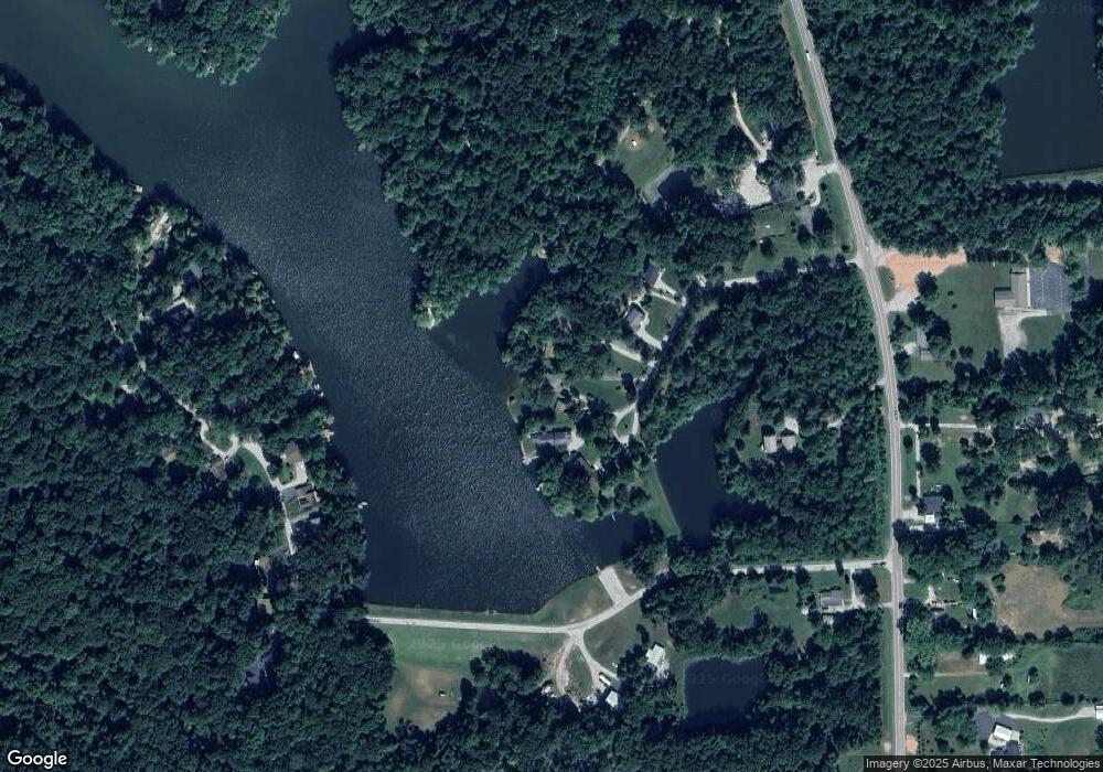
200 Cardinal Dr Morgantown, IN 46160
Estimated Value: $228,000 - $321,000
3
Beds
1
Bath
1,503
Sq Ft
$179/Sq Ft
Est. Value
About This Home
This home is located at 200 Cardinal Dr, Morgantown, IN 46160 and is currently estimated at $269,739, approximately $179 per square foot. 200 Cardinal Dr is a home located in Brown County with nearby schools including Brown County High School.
Ownership History
Date
Name
Owned For
Owner Type
Purchase Details
Closed on
Jun 12, 2008
Sold by
Jones Billie W and Jones Patricia A
Bought by
Jones Steven W and Rish Sally
Current Estimated Value
Purchase Details
Closed on
Aug 21, 2007
Sold by
Jones Billie W and Jones Patricia A
Bought by
Jones Steven W and Rish Sally
Purchase Details
Closed on
Dec 8, 2006
Sold by
Jones Billie W and Jones Patricia A
Bought by
Jones Steven W and Rish Sally
Purchase Details
Closed on
Nov 21, 2005
Sold by
Jones Billie W and Jones Patricia A
Bought by
Jones Steven W and Rish Sally
Create a Home Valuation Report for This Property
The Home Valuation Report is an in-depth analysis detailing your home's value as well as a comparison with similar homes in the area
Home Values in the Area
Average Home Value in this Area
Purchase History
| Date | Buyer | Sale Price | Title Company |
|---|---|---|---|
| Jones Steven W | -- | -- | |
| Jones Steven W | -- | -- | |
| Jones Steven W | -- | -- | |
| Jones Steven W | -- | -- |
Source: Public Records
Tax History Compared to Growth
Tax History
| Year | Tax Paid | Tax Assessment Tax Assessment Total Assessment is a certain percentage of the fair market value that is determined by local assessors to be the total taxable value of land and additions on the property. | Land | Improvement |
|---|---|---|---|---|
| 2024 | $1,564 | $175,900 | $47,300 | $128,600 |
| 2023 | $1,573 | $163,700 | $44,000 | $119,700 |
| 2022 | $1,533 | $156,000 | $44,000 | $112,000 |
| 2021 | $1,619 | $151,800 | $44,000 | $107,800 |
| 2020 | $1,528 | $138,500 | $44,000 | $94,500 |
| 2019 | $1,488 | $138,500 | $44,000 | $94,500 |
| 2018 | $1,656 | $134,400 | $44,000 | $90,400 |
| 2017 | $1,659 | $133,500 | $44,000 | $89,500 |
| 2016 | $1,602 | $133,500 | $44,000 | $89,500 |
| 2014 | $1,426 | $136,600 | $44,000 | $92,600 |
| 2013 | $1,426 | $134,700 | $44,000 | $90,700 |
Source: Public Records
Map
Nearby Homes
- 8546 N Chickadee Dr
- 8584 Old Haggard Rd
- 493 Hornettown Ln
- 7616 N Oak Ridge Rd
- 9660 A Old Haggard Rd
- 9464 N State Road 135
- 5994 Pine Tree Ln
- 0 W Cottonwood Rd
- 9769 N Lick Creek Rd
- 2289 Twinlake Dr
- 2289 Twinlake Rd
- 3399 W Cottonwood Rd
- 5320 S Lick Creek Rd
- 4837 Covered Bridge Rd
- 8942 Bean Blossom Rd
- 6368 Bluebird Trail
- 2761 Indiana 45
- 5747 W Lost Branch Rd
- 7601 S 700 W
- 290 S Marion St
- 176 Cardinal Dr
- 206 Cardinal Dr
- 0 Cardinal Dr Unit MBR2257894
- 0 Cardinal Dr Unit 21416357
- 0 Cardinal Dr Unit 21488871
- 150 Cardinal Dr
- 212 Cardinal Dr
- 0 E Hurdle Rd Unit MBR21147115
- 110 Cardinal Dr
- 104 Cardinal Dr
- 7928 N State Road 135
- 000 Cardinal Dr
- 7924 N State Road 135
- 7873 N Lasalle Rd
- 7851 N Lasalle Rd
- 7859 N Lasalle Rd
- 8044 N State Road 135
- 7887 N Lasalle Rd
- 7746 N Lasalle Rd
- 7897 N Lasalle Rd
