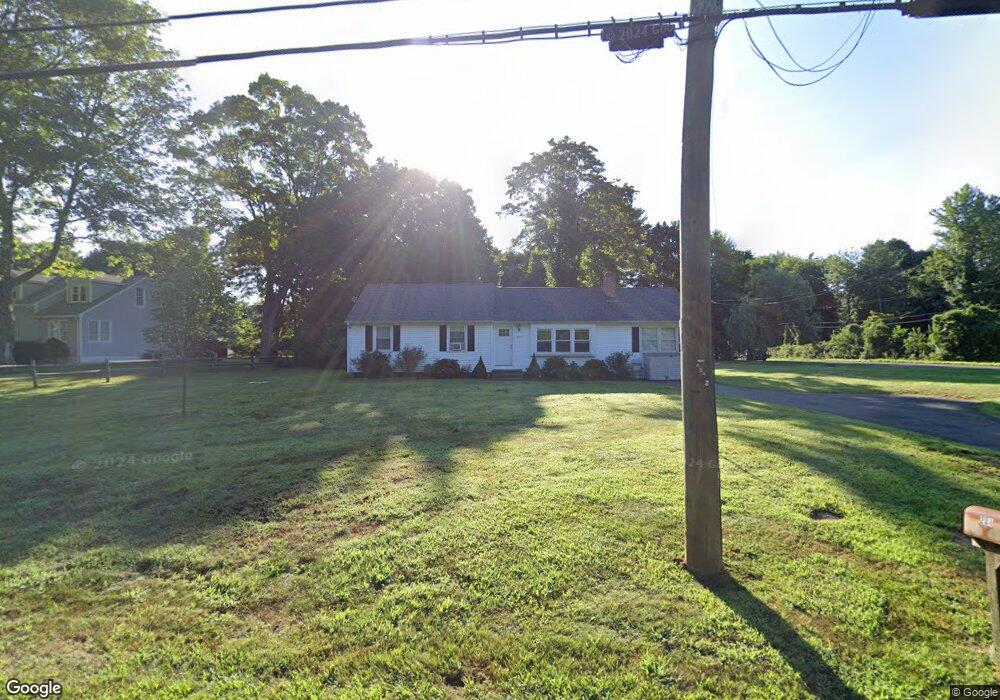
200 Copse Rd Madison, CT 06443
Estimated Value: $494,446 - $562,000
3
Beds
2
Baths
1,542
Sq Ft
$347/Sq Ft
Est. Value
About This Home
This home is located at 200 Copse Rd, Madison, CT 06443 and is currently estimated at $535,362, approximately $347 per square foot. 200 Copse Rd is a home located in New Haven County with nearby schools including Walter C. Polson Upper Middle School, Daniel Hand High School, and Our Lady of Mercy Preparatory Academy.
Ownership History
Date
Name
Owned For
Owner Type
Purchase Details
Closed on
Feb 21, 1996
Sold by
Mainetti Robert L and Mainetti Brenda
Bought by
Davis Stephen M and Davis Russell A
Current Estimated Value
Purchase Details
Closed on
Aug 25, 1988
Sold by
Congdon Mary K
Bought by
Mainetti Robert L
Home Financials for this Owner
Home Financials are based on the most recent Mortgage that was taken out on this home.
Original Mortgage
$120,400
Interest Rate
10.36%
Create a Home Valuation Report for This Property
The Home Valuation Report is an in-depth analysis detailing your home's value as well as a comparison with similar homes in the area
Home Values in the Area
Average Home Value in this Area
Purchase History
| Date | Buyer | Sale Price | Title Company |
|---|---|---|---|
| Davis Stephen M | $135,000 | -- | |
| Mainetti Robert L | $172,000 | -- |
Source: Public Records
Mortgage History
| Date | Status | Borrower | Loan Amount |
|---|---|---|---|
| Previous Owner | Mainetti Robert L | $120,400 |
Source: Public Records
Tax History
| Year | Tax Paid | Tax Assessment Tax Assessment Total Assessment is a certain percentage of the fair market value that is determined by local assessors to be the total taxable value of land and additions on the property. | Land | Improvement |
|---|---|---|---|---|
| 2025 | $5,731 | $255,500 | $110,400 | $145,100 |
| 2024 | $5,621 | $255,500 | $110,400 | $145,100 |
| 2023 | $5,038 | $168,100 | $84,900 | $83,200 |
| 2022 | $4,944 | $168,100 | $84,900 | $83,200 |
| 2021 | $6,431 | $168,100 | $84,900 | $83,200 |
| 2020 | $4,766 | $168,100 | $84,900 | $83,200 |
| 2019 | $4,766 | $168,100 | $84,900 | $83,200 |
| 2018 | $6,031 | $185,500 | $88,300 | $97,200 |
| 2017 | $5,064 | $185,500 | $88,300 | $97,200 |
| 2016 | $4,914 | $185,500 | $88,300 | $97,200 |
| 2015 | $4,778 | $185,500 | $88,300 | $97,200 |
| 2014 | $5,857 | $232,700 | $126,700 | $106,000 |
Source: Public Records
Map
Nearby Homes
- 75 Fairview Dr
- 14 Centre Village Dr
- 37 Lantern Hill Rd
- 31 Stony Lane Lot 2 Rd
- 31 Stony Lane Lot 1 Rd
- 31 Stony Lane Lot 3 Rd
- 30 Meeting House Ln
- 268 Durham Rd
- 42 Wildcat Rd
- 38 Sportsman Hill Rd
- 461 Green Hill Rd
- 2 Esterly Farms Rd
- 22 Nathans Ln
- 40 Puritan Ln
- 24 Railroad Ave
- 300 Mungertown Rd
- 0 Bushnell Ln
- 41 Allison Dr
- 173 Wildwood Ave
- 908 Boston Post Rd Unit 908
Your Personal Tour Guide
Ask me questions while you tour the home.