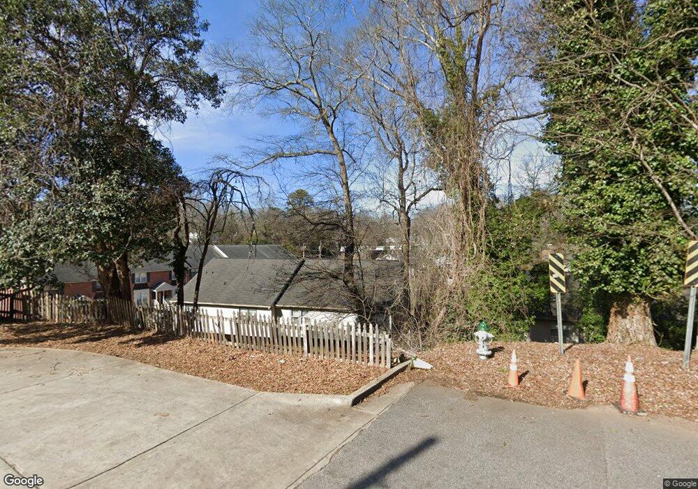
200 E Cloverhurst Ave Athens, GA 30605
Midtown-Bloomfield NeighborhoodEstimated Value: $414,000 - $503,000
--
Bed
2
Baths
1,184
Sq Ft
$381/Sq Ft
Est. Value
About This Home
This home is located at 200 E Cloverhurst Ave, Athens, GA 30605 and is currently estimated at $450,923, approximately $380 per square foot. 200 E Cloverhurst Ave is a home located in Clarke County with nearby schools including Barrow Elementary School, Clarke Middle School, and Clarke Central High School.
Ownership History
Date
Name
Owned For
Owner Type
Purchase Details
Closed on
Jan 5, 2016
Sold by
Wilson Robert N
Bought by
Brcac Llc
Current Estimated Value
Purchase Details
Closed on
Sep 2, 2003
Sold by
Wilson Patty B
Bought by
Wilson Robert N
Purchase Details
Closed on
Aug 31, 2000
Sold by
Wilson Trammell
Bought by
Wilson Patty B
Purchase Details
Closed on
Feb 14, 1997
Sold by
Wilson Robert N
Bought by
Wilson Robert N and Wilson Trammell L
Purchase Details
Closed on
Jun 12, 1996
Sold by
Marbury John T
Bought by
Wilson Robert N
Purchase Details
Closed on
Apr 15, 1994
Sold by
C R North Development Inc
Bought by
Marbury John T
Purchase Details
Closed on
Jun 11, 1993
Sold by
Glick Paul E
Bought by
C R North Development Inc
Purchase Details
Closed on
Feb 5, 1990
Sold by
Glick Paul E and Mary Glick
Bought by
Glick Paul E
Create a Home Valuation Report for This Property
The Home Valuation Report is an in-depth analysis detailing your home's value as well as a comparison with similar homes in the area
Home Values in the Area
Average Home Value in this Area
Purchase History
| Date | Buyer | Sale Price | Title Company |
|---|---|---|---|
| Brcac Llc | $132,000 | -- | |
| Wilson Robert N | -- | -- | |
| Wilson Patty B | -- | -- | |
| Wilson Robert N | -- | -- | |
| Wilson Robert N | $74,900 | -- | |
| Marbury John T | $63,000 | -- | |
| C R North Development Inc | $65,000 | -- | |
| Glick Paul E | -- | -- |
Source: Public Records
Tax History Compared to Growth
Tax History
| Year | Tax Paid | Tax Assessment Tax Assessment Total Assessment is a certain percentage of the fair market value that is determined by local assessors to be the total taxable value of land and additions on the property. | Land | Improvement |
|---|---|---|---|---|
| 2025 | $4,351 | $140,117 | $16,000 | $124,117 |
| 2024 | $3,932 | $125,823 | $16,000 | $109,823 |
| 2023 | $3,932 | $110,568 | $14,000 | $96,568 |
| 2022 | $2,572 | $80,618 | $14,000 | $66,618 |
| 2021 | $2,235 | $66,334 | $14,000 | $52,334 |
| 2020 | $2,208 | $65,515 | $14,000 | $51,515 |
| 2019 | $1,984 | $58,428 | $14,000 | $44,428 |
| 2018 | $1,831 | $53,933 | $14,000 | $39,933 |
| 2017 | $1,793 | $53,933 | $14,000 | $39,933 |
| 2016 | $1,808 | $53,241 | $14,000 | $39,241 |
| 2015 | $1,810 | $53,241 | $14,000 | $39,241 |
| 2014 | $1,830 | $53,732 | $14,000 | $39,732 |
Source: Public Records
Map
Nearby Homes
- 255 Bloomfield St
- 997 S Milledge Ave Unit 2
- 997 S Milledge Ave Unit 3
- 997 S Milledge Ave Unit 1
- 997 S Milledge Ave Unit 4
- 170 Northview Dr Unit 5
- 494 Baxter St Unit 32
- 265 Springdale St
- 221 University Dr
- 365 S Church St Unit 1A, 1B, 1C
- 338 Springdale St
- 515 Hampton Ct
- 577 W Cloverhurst Ave
- 490 Ofarrell St
- 597 Dearing St
- 441 Milledge Cir
- 200 E Cloverhurst Ave Unit 8
- 200 E Cloverhurst Ave Unit 4
- 200 E Cloverhurst Ave Unit 10
- 200 E Cloverhurst Ave Unit 16
- 200 E Cloverhurst Ave Unit 2
- 200 E Cloverhurst Ave
- 200 E Cloverhurst Ave Unit 7
- 200 E Cloverhurst Ave
- 200 E Cloverhurst Ave
- 200 E Cloverhurst Ave
- 200 E Cloverhurst Ave
- 200 E Cloverhurst Ave
- 200 E Cloverhurst Ave
- 200 E Cloverhurst Ave
- 200 E Cloverhurst Ave
- 200 E Cloverhurst Ave
- 200 E Cloverhurst Ave
- 200 E Cloverhurst Ave
- 200 E Cloverhurst Ave
- 200 E Cloverhurst Ave