Estimated Value: $10,401 - $123,000
--
Bed
1
Bath
729
Sq Ft
$92/Sq Ft
Est. Value
About This Home
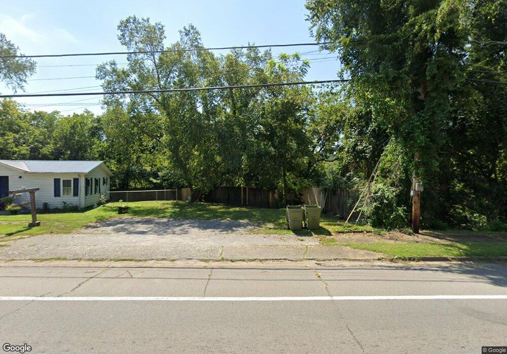
This home is located at 200 E Main St, Erin, TN 37061 and is currently estimated at $66,850, approximately $91 per square foot. 200 E Main St is a home located in Houston County.
Ownership History
Date
Name
Owned For
Owner Type
Purchase Details
Closed on
Apr 22, 2021
Sold by
Bailey Paul W
Bought by
Gill C R
Current Estimated Value
Purchase Details
Closed on
Mar 18, 2019
Sold by
Keith Frank
Bought by
Bailey Paul W
Purchase Details
Closed on
Nov 20, 2018
Sold by
Smith Brent
Bought by
Frank Keith and Frank Vicki
Purchase Details
Closed on
Sep 12, 2017
Sold by
Ray Estelle
Bought by
Smith Brent
Purchase Details
Closed on
Jul 2, 1992
Bought by
Ray Estelle and Ray Lloyd G
Purchase Details
Closed on
Jun 7, 1988
Bought by
Judkin Barbara Int Estelle Ray
Purchase Details
Closed on
Jun 6, 1988
Purchase Details
Closed on
Sep 18, 1981
Bought by
Harper James F and Jessie Irene
Create a Home Valuation Report for This Property
The Home Valuation Report is an in-depth analysis detailing your home's value as well as a comparison with similar homes in the area
Home Values in the Area
Average Home Value in this Area
Purchase History
| Date | Buyer | Sale Price | Title Company |
|---|---|---|---|
| Gill C R | $7,500 | None Available | |
| Bailey Paul W | $6,000 | -- | |
| Frank Keith | $8,500 | -- | |
| Smith Brent | $2,000 | -- | |
| Ray Estelle | $500 | -- | |
| Judkin Barbara Int Estelle Ray | $5,000 | -- | |
| -- | $9,300 | -- | |
| Harper James F | -- | -- |
Source: Public Records
Tax History Compared to Growth
Tax History
| Year | Tax Paid | Tax Assessment Tax Assessment Total Assessment is a certain percentage of the fair market value that is determined by local assessors to be the total taxable value of land and additions on the property. | Land | Improvement |
|---|---|---|---|---|
| 2024 | -- | $1,100 | $1,100 | $0 |
| 2023 | $28 | $1,100 | $1,100 | $0 |
| 2022 | $29 | $750 | $750 | $0 |
| 2021 | $29 | $750 | $750 | $0 |
| 2020 | $70 | $1,725 | $750 | $975 |
| 2019 | $70 | $1,625 | $1,075 | $550 |
| 2018 | $70 | $1,625 | $1,075 | $550 |
| 2017 | $70 | $1,625 | $1,075 | $550 |
| 2016 | $70 | $1,625 | $1,075 | $550 |
| 2015 | $70 | $1,625 | $1,075 | $550 |
| 2014 | -- | $1,636 | $0 | $0 |
Source: Public Records
Map
Nearby Homes
- 6711 Highway 49
- 2100 Tennessee 13
- 0 Fire Tower Rd Unit LotWP001 24524861
- 0 Highway 149
- 0 Cary Dr
- 8551 Highway 49
- 110 N Church St
- 9 Brigham Branch Rd
- 0 Old 49 Hwy
- 0 Cooley Ford Rd
- 3 Tennessee 49
- 2 Tennessee 49
- 1 Tennessee 49
- 78 College St
- 9249 Highway 49
- 915 Rocky Hollow Rd
- 4 Rocky Top Ln
- 2 Rocky Top Ln
- 185 Mockingbird St
- 3563 Clay Tomlinson Rd
- 118 N Hughes Ln
- 322 Albert Mathis Ct
- 477 Bateman Branch Rd
- 596 Bateman Branch Rd
- 540 Sonny Ln
- 776 Bateman Branch Rd
- 4968 Highway 13
- 600 Old Stagecoach Ln
- 5010 Highway 13
- 585 Old Stagecoach Ln Unit 585
- 550 Old Stagecoach Ln
- 4966 Tennessee 13
- 0 Highway 13s Unit RTC2616169
- 0 Highway 13s Unit RTC2577074
- 0 Highway 13s Unit RTC2434917
- 510 Old Stagecoach Ln
- 501 Old Stagecoach Ln
- 150 Billy Gene Allen Hill Ln
- 508 Old Stagecoach Ln
- 5690 Highway 13 Unit 5690