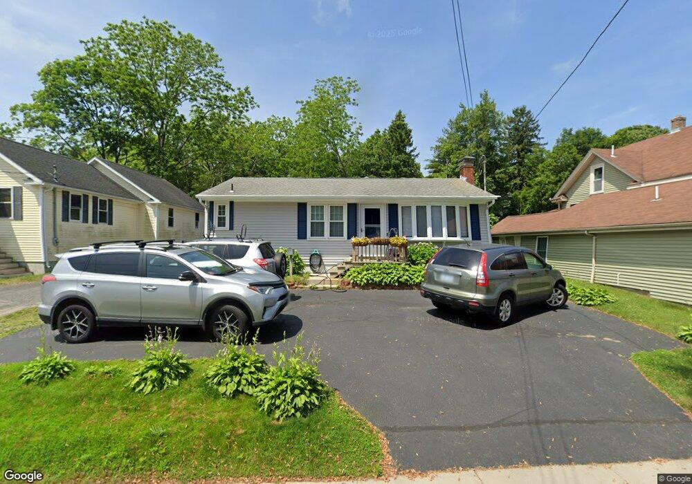
200 High St Unit A Wakefield, RI 02879
Estimated Value: $455,797 - $489,000
2
Beds
1
Bath
864
Sq Ft
$547/Sq Ft
Est. Value
About This Home
This home is located at 200 High St Unit A, Wakefield, RI 02879 and is currently estimated at $472,449, approximately $546 per square foot. 200 High St Unit A is a home located in Washington County with nearby schools including South Kingstown High School, Monsignor Matthew Clarke Catholic Regional School, and Bradley School-South.
Ownership History
Date
Name
Owned For
Owner Type
Purchase Details
Closed on
Apr 30, 2012
Sold by
Fnma
Bought by
Fournier Peter J and Fournier Barbara E
Current Estimated Value
Purchase Details
Closed on
Oct 6, 2011
Sold by
Sweet Michelle B
Bought by
Mers
Create a Home Valuation Report for This Property
The Home Valuation Report is an in-depth analysis detailing your home's value as well as a comparison with similar homes in the area
Home Values in the Area
Average Home Value in this Area
Purchase History
| Date | Buyer | Sale Price | Title Company |
|---|---|---|---|
| Fournier Peter J | $115,000 | -- | |
| Mers | -- | -- |
Source: Public Records
Mortgage History
| Date | Status | Borrower | Loan Amount |
|---|---|---|---|
| Previous Owner | Mers | $175,100 | |
| Previous Owner | Mers | $144,900 | |
| Previous Owner | Mers | $132,000 |
Source: Public Records
Tax History Compared to Growth
Tax History
| Year | Tax Paid | Tax Assessment Tax Assessment Total Assessment is a certain percentage of the fair market value that is determined by local assessors to be the total taxable value of land and additions on the property. | Land | Improvement |
|---|---|---|---|---|
| 2025 | $2,929 | $327,600 | $148,300 | $179,300 |
| 2024 | $2,843 | $257,300 | $114,100 | $143,200 |
| 2023 | $2,843 | $257,300 | $114,100 | $143,200 |
| 2022 | $2,817 | $257,300 | $114,100 | $143,200 |
| 2021 | $2,779 | $192,300 | $94,000 | $98,300 |
| 2020 | $2,779 | $192,300 | $94,000 | $98,300 |
| 2019 | $2,779 | $192,300 | $94,000 | $98,300 |
| 2018 | $2,302 | $146,800 | $62,600 | $84,200 |
| 2017 | $2,248 | $146,800 | $62,600 | $84,200 |
| 2016 | $2,215 | $146,800 | $62,600 | $84,200 |
| 2015 | $2,328 | $150,000 | $66,500 | $83,500 |
| 2014 | $2,322 | $150,000 | $66,500 | $83,500 |
Source: Public Records
Map
Nearby Homes
- 23 Rockland Dr
- 156 River St Unit B
- 37 Columbia St
- 48 Stone Bridge Dr
- 10 Hendricks St
- 98 Meadow Ave
- 128 Rodman St
- 35 Whittier Dr
- 37 Whittier Dr
- 39 Hazard Ave
- 45 Cherry Ln Unit C
- 40 Amos St
- 228 Rodman St
- 17 Celestial Heights Dr
- 3 Larkin St
- 5 Secluded Dr
- 70 Broad Rock Rd
- 333 South Rd
- 128 North Rd
- 38 Eisenhower Place
- 200 High St Unit B
- 200 High St
- 16 Whitford St
- 0 Middle St
- 198 High St
- 196 High St
- 210 High St
- 15 Middle St
- 188 High St
- 188 High St Unit Middle st
- 188 High St Unit High st
- 24 Whitford St
- 19 Middle St
- 214 High St
- 15 Whitford St
- 25 Middle St
- 17 Whitford St
- 0 Confidential St Unit 71361167
- 0 Confidential St Unit 71361166
- 0 Confidential St Unit 647890