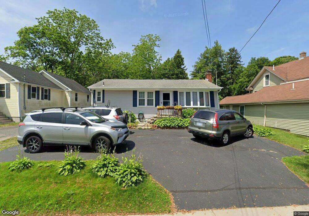
200 High St Unit B Wakefield, RI 02879
Estimated Value: $496,029 - $632,000
4
Beds
2
Baths
1,422
Sq Ft
$391/Sq Ft
Est. Value
About This Home
This home is located at 200 High St Unit B, Wakefield, RI 02879 and is currently estimated at $555,507, approximately $390 per square foot. 200 High St Unit B is a home located in Washington County with nearby schools including South Kingstown High School, Monsignor Matthew Clarke Catholic Regional School, and Bradley School-South.
Ownership History
Date
Name
Owned For
Owner Type
Purchase Details
Closed on
Dec 22, 1994
Sold by
Costa Francis J and Costa Jeannette
Bought by
Johnson Corbet S
Current Estimated Value
Home Financials for this Owner
Home Financials are based on the most recent Mortgage that was taken out on this home.
Original Mortgage
$78,300
Interest Rate
9.19%
Create a Home Valuation Report for This Property
The Home Valuation Report is an in-depth analysis detailing your home's value as well as a comparison with similar homes in the area
Home Values in the Area
Average Home Value in this Area
Purchase History
| Date | Buyer | Sale Price | Title Company |
|---|---|---|---|
| Johnson Corbet S | $98,000 | -- |
Source: Public Records
Mortgage History
| Date | Status | Borrower | Loan Amount |
|---|---|---|---|
| Open | Johnson Corbet S | $78,000 | |
| Closed | Johnson Corbet S | $78,300 |
Source: Public Records
Tax History Compared to Growth
Tax History
| Year | Tax Paid | Tax Assessment Tax Assessment Total Assessment is a certain percentage of the fair market value that is determined by local assessors to be the total taxable value of land and additions on the property. | Land | Improvement |
|---|---|---|---|---|
| 2025 | $3,665 | $410,000 | $153,100 | $256,900 |
| 2024 | $3,484 | $315,300 | $117,700 | $197,600 |
| 2023 | $3,484 | $315,300 | $117,700 | $197,600 |
| 2022 | $3,453 | $315,300 | $117,700 | $197,600 |
| 2021 | $3,481 | $240,900 | $97,000 | $143,900 |
| 2020 | $3,481 | $240,900 | $97,000 | $143,900 |
| 2019 | $3,481 | $240,900 | $97,000 | $143,900 |
| 2018 | $2,885 | $184,000 | $64,600 | $119,400 |
| 2017 | $2,817 | $184,000 | $64,600 | $119,400 |
| 2016 | $2,777 | $184,000 | $64,600 | $119,400 |
| 2015 | $2,839 | $182,900 | $68,500 | $114,400 |
| 2014 | $2,831 | $182,900 | $68,500 | $114,400 |
Source: Public Records
Map
Nearby Homes
- 23 Rockland Dr
- 156 River St Unit B
- 48 Stone Bridge Dr
- 37 Columbia St
- 10 Hendricks St
- 98 Meadow Ave
- 128 Rodman St
- 35 Whittier Dr
- 37 Whittier Dr
- 39 Hazard Ave
- 45 Cherry Ln Unit C
- 40 Amos St
- 228 Rodman St
- 17 Celestial Heights Dr
- 3 Larkin St
- 5 Secluded Dr
- 70 Broad Rock Rd
- 333 South Rd
- 128 North Rd
- 53 Rocky Brook Way
- 200 High St Unit A
- 200 High St
- 16 Whitford St
- 0 Middle St
- 198 High St
- 196 High St
- 210 High St
- 15 Middle St
- 188 High St
- 188 High St Unit Middle st
- 188 High St Unit High st
- 24 Whitford St
- 19 Middle St
- 214 High St
- 15 Whitford St
- 25 Middle St
- 17 Whitford St
- 0 Confidential St Unit 71361167
- 0 Confidential St Unit 71361166
- 0 Confidential St Unit 647890