200 Kilpatrick Ln Mount Vernon, OR 97865
Estimated Value: $245,000 - $284,980
4
Beds
2
Baths
2,116
Sq Ft
$123/Sq Ft
Est. Value
About This Home
This home is located at 200 Kilpatrick Ln, Mount Vernon, OR 97865 and is currently estimated at $261,245, approximately $123 per square foot. 200 Kilpatrick Ln is a home located in Grant County with nearby schools including Grant Union Junior/Senior High School.
Ownership History
Date
Name
Owned For
Owner Type
Purchase Details
Closed on
Sep 28, 2016
Sold by
Wells Fargo Financial Oregon Inc
Bought by
Kilpatrick Mike
Current Estimated Value
Purchase Details
Closed on
Jul 24, 2015
Sold by
Stegman Raymond B and Stegman Debra L
Bought by
Wells Fargo Financial Oregon Inc
Create a Home Valuation Report for This Property
The Home Valuation Report is an in-depth analysis detailing your home's value as well as a comparison with similar homes in the area
Home Values in the Area
Average Home Value in this Area
Purchase History
| Date | Buyer | Sale Price | Title Company |
|---|---|---|---|
| Kilpatrick Mike | $45,000 | None Available | |
| Wells Fargo Financial Oregon Inc | -- | None Available |
Source: Public Records
Tax History Compared to Growth
Tax History
| Year | Tax Paid | Tax Assessment Tax Assessment Total Assessment is a certain percentage of the fair market value that is determined by local assessors to be the total taxable value of land and additions on the property. | Land | Improvement |
|---|---|---|---|---|
| 2024 | $2,037 | $139,654 | $54,420 | $85,234 |
| 2023 | $1,974 | $135,587 | $52,834 | $82,753 |
| 2022 | $1,918 | $131,638 | $51,299 | $80,339 |
| 2021 | $1,866 | $127,804 | $40,440 | $87,364 |
| 2020 | $1,898 | $123,150 | $47,990 | $75,160 |
| 2019 | $1,792 | $116,170 | $45,270 | $70,900 |
| 2018 | $2,914 | $107,570 | $41,920 | $65,650 |
| 2017 | $1,943 | $124,082 | $39,263 | $84,819 |
| 2016 | $1,882 | $120,468 | $38,121 | $82,347 |
| 2015 | $1,907 | $116,184 | $36,764 | $79,420 |
| 2014 | $1,907 | $116,184 | $36,764 | $79,420 |
| 2013 | $1,777 | $112,800 | $35,694 | $77,106 |
Source: Public Records
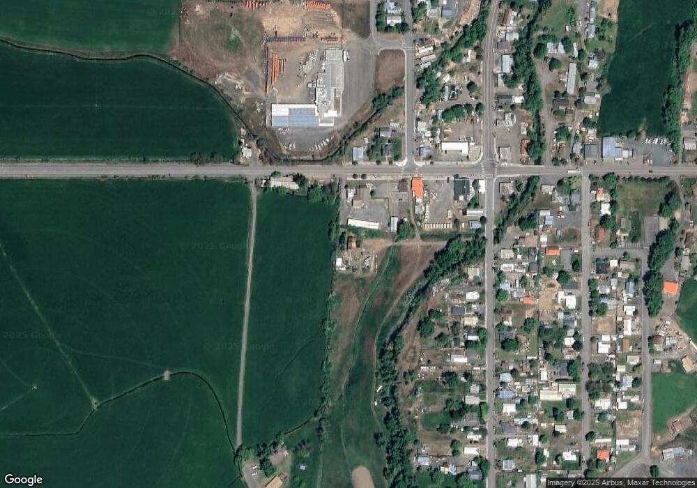
Map
Nearby Homes
- 54797 U S Highway 26
- 210 Mountain Blvd
- 251 SE Council Dr
- 410 N Mountain Blvd
- 440 N Mountain Blvd
- 809 Ingle St
- 55550 McKern Ln
- 54797 U S 26
- 59720 Highway 26
- 58392 Antelope Ln
- 0 Hwy 395 Unit 220203788
- 0 Hwy 395 Unit 603386933
- 59920 Highway 26
- 59920 Hwy 26
- 31367 Clarks Creek Rd
- 27637 La Costa Rd
- 27637 La Costa Ave
- 59591 High Ridge Ln
- 0 E Side Ln Unit 201102803
- 0 County Rd 74b Unit 11554207
- 197 W Main St
- 0 W Mt Vernon
- 100 E Mt Vernon
- 195 W Main St
- 280 W Main St
- 250 W Main St
- 165 Ingle St
- 131 W Main St
- 221 Ingle St
- 253 Ingle St
- 251 Ingle St
- 167 Ingle St
- 150 Highlan Dr
- 190 W Main St
- 380 W Main St
- 150 W Main St
- 0 U S Highway 26 Unit 801 22084923
- 0 U S Highway 26
- 3940 Forest Service Rd
- 420 Highland St