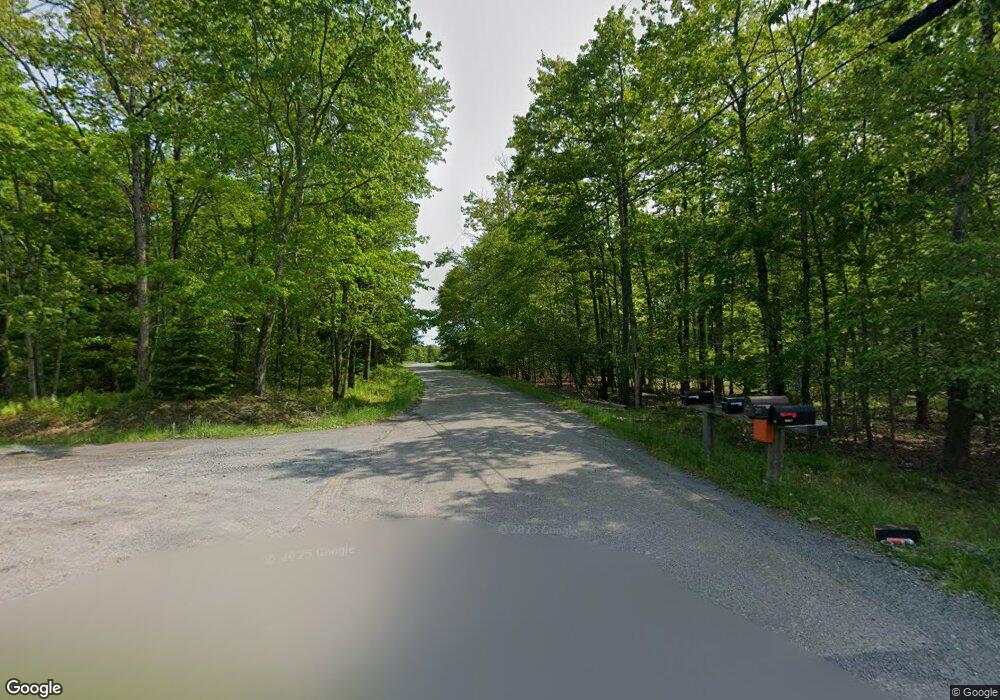
200 Laurel Rd White Haven, PA 18661
Estimated Value: $199,000 - $233,094
4
Beds
2
Baths
1,432
Sq Ft
$151/Sq Ft
Est. Value
About This Home
This home is located at 200 Laurel Rd, White Haven, PA 18661 and is currently estimated at $216,524, approximately $151 per square foot. 200 Laurel Rd is a home located in Carbon County with nearby schools including Weatherly Elementary/ Middle School and Weatherly Area Senior High School.
Ownership History
Date
Name
Owned For
Owner Type
Purchase Details
Closed on
Nov 23, 2009
Sold by
Us Bank National Association
Bought by
Matirko Christina
Current Estimated Value
Purchase Details
Closed on
May 29, 2009
Sold by
Costa Vivian
Bought by
U S Bank National Association
Purchase Details
Closed on
Mar 28, 2005
Sold by
Abbey Jerrell Sam and Abbey Cheryl L
Bought by
Costa Vivian
Home Financials for this Owner
Home Financials are based on the most recent Mortgage that was taken out on this home.
Original Mortgage
$138,550
Interest Rate
5.7%
Mortgage Type
New Conventional
Create a Home Valuation Report for This Property
The Home Valuation Report is an in-depth analysis detailing your home's value as well as a comparison with similar homes in the area
Home Values in the Area
Average Home Value in this Area
Purchase History
| Date | Buyer | Sale Price | Title Company |
|---|---|---|---|
| Matirko Christina | $110,000 | Land Title Svcs Of Nj Inc | |
| U S Bank National Association | $2,460 | None Available | |
| Costa Vivian | $164,900 | None Available |
Source: Public Records
Mortgage History
| Date | Status | Borrower | Loan Amount |
|---|---|---|---|
| Previous Owner | Costa Vivian | $138,550 |
Source: Public Records
Tax History Compared to Growth
Tax History
| Year | Tax Paid | Tax Assessment Tax Assessment Total Assessment is a certain percentage of the fair market value that is determined by local assessors to be the total taxable value of land and additions on the property. | Land | Improvement |
|---|---|---|---|---|
| 2025 | $2,960 | $39,850 | $4,300 | $35,550 |
| 2024 | $2,841 | $39,850 | $4,300 | $35,550 |
| 2023 | $2,751 | $39,850 | $4,300 | $35,550 |
| 2022 | $2,751 | $39,850 | $4,300 | $35,550 |
| 2021 | $2,711 | $39,850 | $4,300 | $35,550 |
| 2020 | $2,711 | $39,850 | $4,300 | $35,550 |
| 2019 | $2,574 | $39,850 | $4,300 | $35,550 |
| 2018 | $2,517 | $39,850 | $4,300 | $35,550 |
| 2017 | $2,405 | $39,850 | $4,300 | $35,550 |
| 2016 | -- | $39,850 | $4,300 | $35,550 |
| 2015 | -- | $39,850 | $4,300 | $35,550 |
| 2014 | -- | $39,850 | $4,300 | $35,550 |
Source: Public Records
Map
Nearby Homes
- Lot 220 Helen Way
- 39 Wolf Way
- 70 Wolf Way
- Lot 156 & 157 Chipmunk Trail
- 10 Helen Way
- 98 Black Bear Pass
- Lot 114 Birch Dr
- 39 Stream Dr
- 0 Rr 940 Unit PM-98574
- 48 Telstar
- 317 Golden Oaks Dr
- 411 Pin Oak Dr
- 87 Old Farm Ln
- Pinehurst Plan at Golden Oaks Village
- Folino Plan at Golden Oaks Village
- Franklyn Plan at Golden Oaks Village
- St. Andrews Plan at Golden Oaks Village
- Cottages Plan at Golden Oaks Village
- 402 Pin Oak Dr
- 601B W West Oak Ln
- 62 Squirrel Trail
- 206 Laurel Rd
- 61 Squirrel Trail
- 66 Squirrel Trail
- 58 Squirrel Trail
- 315 Jack Rabbit Run
- 206 Laurel Dr
- 26 Jack Rabbit Run
- 26 Wolf Way
- 36 Wolf Way
- 20 Jack Rabbit Run
- 14 Wolf Way
- 297 Blueberry Terrace
- 48 Squirrel Trail
- 47 Squirrel Trail
- 27 Wolf Way
- 42 Wolf Way
- 12 Jack Rabbit Run
- 41 Coyote Ct
- 17 Wolf Way
