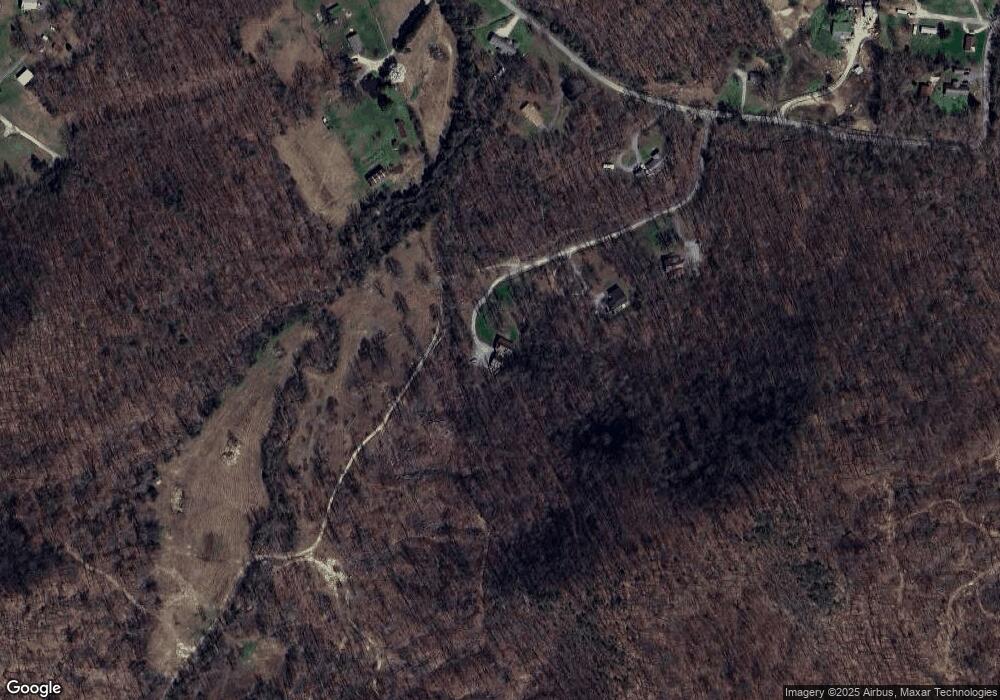
200 Mcdaniel Ln Stanford, KY 40484
Estimated Value: $187,000 - $349,000
2
Beds
1
Bath
1,344
Sq Ft
$191/Sq Ft
Est. Value
About This Home
This home is located at 200 Mcdaniel Ln, Stanford, KY 40484 and is currently estimated at $257,106, approximately $191 per square foot. 200 Mcdaniel Ln is a home located in Lincoln County with nearby schools including Lincoln County High School and Redemption Road Christian Academy.
Ownership History
Date
Name
Owned For
Owner Type
Purchase Details
Closed on
Jan 30, 2017
Sold by
Atwood Norma
Bought by
Atwood Glenn
Current Estimated Value
Home Financials for this Owner
Home Financials are based on the most recent Mortgage that was taken out on this home.
Original Mortgage
$117,165
Outstanding Balance
$77,959
Interest Rate
4.16%
Mortgage Type
Commercial
Estimated Equity
$179,147
Purchase Details
Closed on
Nov 18, 2011
Sold by
Whitaker Bank Inc
Bought by
Atwood Glenn and Atwood Norma
Home Financials for this Owner
Home Financials are based on the most recent Mortgage that was taken out on this home.
Original Mortgage
$130,978
Interest Rate
4.02%
Mortgage Type
Purchase Money Mortgage
Create a Home Valuation Report for This Property
The Home Valuation Report is an in-depth analysis detailing your home's value as well as a comparison with similar homes in the area
Home Values in the Area
Average Home Value in this Area
Purchase History
| Date | Buyer | Sale Price | Title Company |
|---|---|---|---|
| Atwood Glenn | -- | None Available | |
| Atwood Glenn | $112,000 | None Available |
Source: Public Records
Mortgage History
| Date | Status | Borrower | Loan Amount |
|---|---|---|---|
| Open | Atwood Glenn | $117,165 | |
| Closed | Atwood Glenn | $130,978 |
Source: Public Records
Tax History Compared to Growth
Tax History
| Year | Tax Paid | Tax Assessment Tax Assessment Total Assessment is a certain percentage of the fair market value that is determined by local assessors to be the total taxable value of land and additions on the property. | Land | Improvement |
|---|---|---|---|---|
| 2025 | $1,347 | $131,321 | $13,801 | $117,520 |
| 2024 | $1,347 | $131,321 | $131,321 | $0 |
| 2023 | $1,010 | $97,400 | $97,400 | $0 |
| 2022 | $1,012 | $97,400 | $97,400 | $0 |
| 2021 | $1,035 | $97,400 | $0 | $0 |
| 2020 | $1,059 | $97,400 | $0 | $0 |
| 2019 | $1,070 | $97,400 | $0 | $0 |
| 2018 | $1,059 | $97,400 | $0 | $0 |
| 2017 | $848 | $79,400 | $0 | $0 |
| 2016 | $848 | $79,400 | $0 | $0 |
| 2015 | $708 | $79,400 | $0 | $0 |
| 2012 | $708 | $79,400 | $7,400 | $72,000 |
Source: Public Records
Map
Nearby Homes
- 1570 Highway 3249
- 166 Amber Ct
- 1170 Kentucky 698
- 162 Howell Ln
- 565 Ky 3249
- 305 Maywood Rd
- 5225 U S 27
- 1570 Kentucky 1247
- 1007 N Maywood Rd
- 1151 Horse Ridge Rd
- 0 Sam Baughman Rd Unit LotWP001 24575594
- 0 Sam Baughman Rd
- 3105 Kentucky 1770
- 9999 Martins Trail
- 3330 Kentucky 1770
- 642 Preachersville Rd
- 137 Rice Ln
- 4160 Blue Lick Rd
- 828 E Main St
- 108 Logan Ave
- 169 Mcdaniel Ln
- 120 Mcdaniel Ln
- 1195 Neals Creek Rd
- 1450 Neals Creek Rd
- 1478 Neals Creek Rd
- 1310 Neals Creek Rd
- 1165 Neals Creek Rd
- 1255 Neals Creek Rd
- 1085 Neals Creek Rd
- 1115 Neals Creek Rd
- 1125 Neals Creek Rd
- 1125 Neals Creek Rd
- 1110 Neals Creek Rd
- 1020 Neals Creek Rd
- 50 Sherry Ln
- 905 Neals Creek Rd
- 1004 Neals Creek Rd
- 75 Sugar Loaf Ln
- 1550 Neals Creek Rd
- 1516 Neals Creek Rd
