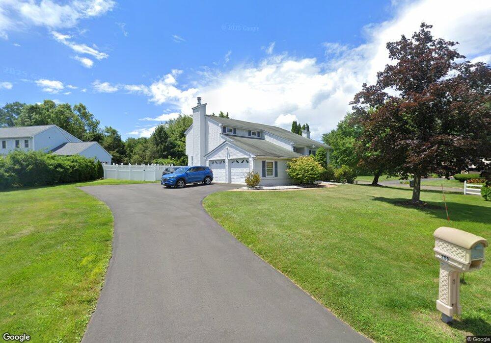
200 Miller Way Windsor, CT 06095
West Windsor NeighborhoodEstimated Value: $460,000 - $557,000
3
Beds
3
Baths
2,100
Sq Ft
$242/Sq Ft
Est. Value
About This Home
This home is located at 200 Miller Way, Windsor, CT 06095 and is currently estimated at $507,965, approximately $241 per square foot. 200 Miller Way is a home located in Hartford County with nearby schools including Oliver Ellsworth School, John F. Kennedy School, and Sage Park Middle School.
Ownership History
Date
Name
Owned For
Owner Type
Purchase Details
Closed on
Oct 15, 1992
Sold by
Schaberth Charles and Schaberth Donna
Bought by
Pace Stephen and Pace Maria
Current Estimated Value
Home Financials for this Owner
Home Financials are based on the most recent Mortgage that was taken out on this home.
Original Mortgage
$157,000
Interest Rate
7.93%
Mortgage Type
Purchase Money Mortgage
Purchase Details
Closed on
Jan 28, 1987
Sold by
Derekseth Corp
Bought by
Schuberth Charles
Home Financials for this Owner
Home Financials are based on the most recent Mortgage that was taken out on this home.
Original Mortgage
$80,000
Interest Rate
9.26%
Mortgage Type
Purchase Money Mortgage
Create a Home Valuation Report for This Property
The Home Valuation Report is an in-depth analysis detailing your home's value as well as a comparison with similar homes in the area
Home Values in the Area
Average Home Value in this Area
Purchase History
| Date | Buyer | Sale Price | Title Company |
|---|---|---|---|
| Pace Stephen | $174,500 | -- | |
| Schuberth Charles | $191,935 | -- |
Source: Public Records
Mortgage History
| Date | Status | Borrower | Loan Amount |
|---|---|---|---|
| Open | Schuberth Charles | $286,382 | |
| Closed | Schuberth Charles | $157,000 | |
| Closed | Schuberth Charles | $157,000 | |
| Previous Owner | Schuberth Charles | $80,000 |
Source: Public Records
Tax History Compared to Growth
Tax History
| Year | Tax Paid | Tax Assessment Tax Assessment Total Assessment is a certain percentage of the fair market value that is determined by local assessors to be the total taxable value of land and additions on the property. | Land | Improvement |
|---|---|---|---|---|
| 2025 | $7,560 | $265,720 | $67,690 | $198,030 |
| 2024 | $8,057 | $265,720 | $67,690 | $198,030 |
| 2023 | $6,052 | $180,110 | $53,690 | $126,420 |
| 2022 | $5,992 | $180,110 | $53,690 | $126,420 |
| 2021 | $5,992 | $180,110 | $53,690 | $126,420 |
| 2020 | $5,963 | $180,110 | $53,690 | $126,420 |
| 2019 | $5,832 | $180,110 | $53,690 | $126,420 |
| 2018 | $5,770 | $175,070 | $53,690 | $121,380 |
| 2017 | $5,681 | $175,070 | $53,690 | $121,380 |
| 2016 | $5,518 | $175,070 | $53,690 | $121,380 |
| 2015 | $5,413 | $175,070 | $53,690 | $121,380 |
| 2014 | $5,334 | $175,070 | $53,690 | $121,380 |
Source: Public Records
Map
Nearby Homes
- 307 Trapper Cir
- 22 Eastview Dr
- 1 Deanne Lynn Cir
- 1999 Poquonock Ave
- 9 Milo Peck Ln
- 23 Griswold Dr
- 887 Poquonock Ave
- 400 Old Day Hill Rd
- 490 Old Day Hill Rd
- 5 Hudson Ln Unit 5
- 418 Pond Bridge Rd
- 45 Timothy Terrace
- 190 Prospect Hill Rd
- 9 Alford Dr
- 268 High Path Rd Unit 268
- 142 High Path Rd
- 10 Cleary Ln
- 114 High Path Rd Unit 114
- 98 High Path Rd
- 225 Rollingbrook