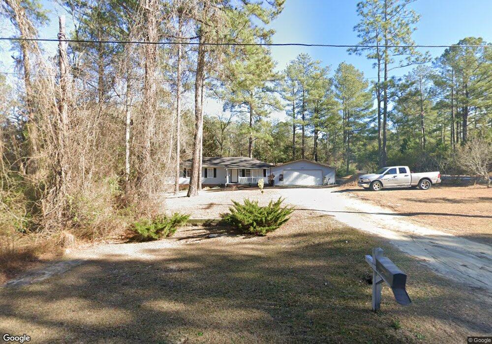
200 Pee Dee Rd Aberdeen, NC 28315
Estimated Value: $183,000 - $285,000
3
Beds
1
Bath
1,152
Sq Ft
$199/Sq Ft
Est. Value
About This Home
This home is located at 200 Pee Dee Rd, Aberdeen, NC 28315 and is currently estimated at $229,522, approximately $199 per square foot. 200 Pee Dee Rd is a home located in Moore County with nearby schools including Aberdeen Elementary School, Southern Middle School, and Pinecrest High School.
Ownership History
Date
Name
Owned For
Owner Type
Purchase Details
Closed on
Jul 24, 2008
Sold by
Harper Kendall and Moore Robbie Torrell
Bought by
Font Brea Luis David and Cordoba Griselda Teresita
Current Estimated Value
Home Financials for this Owner
Home Financials are based on the most recent Mortgage that was taken out on this home.
Original Mortgage
$103,184
Outstanding Balance
$65,797
Interest Rate
6.27%
Mortgage Type
FHA
Estimated Equity
$163,725
Purchase Details
Closed on
May 6, 2005
Sold by
Heffner Judith Maples and Heffner Charles F
Bought by
Harper Kendall
Home Financials for this Owner
Home Financials are based on the most recent Mortgage that was taken out on this home.
Original Mortgage
$75,900
Interest Rate
5.25%
Mortgage Type
Fannie Mae Freddie Mac
Create a Home Valuation Report for This Property
The Home Valuation Report is an in-depth analysis detailing your home's value as well as a comparison with similar homes in the area
Home Values in the Area
Average Home Value in this Area
Purchase History
| Date | Buyer | Sale Price | Title Company |
|---|---|---|---|
| Font Brea Luis David | $104,000 | None Available | |
| Harper Kendall | $80,000 | None Available |
Source: Public Records
Mortgage History
| Date | Status | Borrower | Loan Amount |
|---|---|---|---|
| Open | Font Brea Luis David | $103,184 | |
| Previous Owner | Harper Kendall | $75,900 |
Source: Public Records
Tax History
| Year | Tax Paid | Tax Assessment Tax Assessment Total Assessment is a certain percentage of the fair market value that is determined by local assessors to be the total taxable value of land and additions on the property. | Land | Improvement |
|---|---|---|---|---|
| 2025 | $1,182 | $157,040 | $35,000 | $122,040 |
| 2024 | $1,205 | $157,040 | $35,000 | $122,040 |
| 2023 | $1,237 | $157,040 | $35,000 | $122,040 |
| 2022 | $1,166 | $114,910 | $24,000 | $90,910 |
| 2021 | $1,195 | $114,910 | $24,000 | $90,910 |
| 2020 | $1,207 | $114,910 | $24,000 | $90,910 |
| 2019 | $1,151 | $109,630 | $24,000 | $85,630 |
| 2018 | $989 | $95,590 | $20,000 | $75,590 |
| 2017 | $979 | $95,590 | $20,000 | $75,590 |
| 2015 | $875 | $95,590 | $20,000 | $75,590 |
| 2014 | $769 | $84,050 | $16,800 | $67,250 |
| 2013 | -- | $84,050 | $16,800 | $67,250 |
Source: Public Records
Map
Nearby Homes
- 375 Glade Dr
- 00 Bethune Ave
- 218 Brisbane Dr
- 528 Foothills St
- 374 Glade Dr
- 385 Glade Dr
- 382 Glade Dr
- 389 Glade Dr
- 386 Glade Dr
- 115 Keyser St
- 390 Glade Dr
- 1023 Devonshire Trail
- 286 Rough Ridge Trail Unit 31
- 298 Rough Ridge Trail Unit 29
- 298 Rough Ridge Trail
- 524 Grassy Gap Trail
- 524 Grassy Gap Trail Unit 67
- 304 Domino Dr
- 201 Glasgow St
- 244 Rough Ridge Trail
Your Personal Tour Guide
Ask me questions while you tour the home.