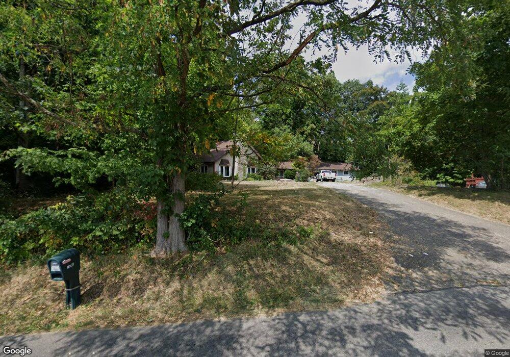
200 Rainbow Dr NE Lancaster, OH 43130
Estimated Value: $389,000 - $515,000
4
Beds
2
Baths
2,255
Sq Ft
$194/Sq Ft
Est. Value
About This Home
This home is located at 200 Rainbow Dr NE, Lancaster, OH 43130 and is currently estimated at $437,735, approximately $194 per square foot. 200 Rainbow Dr NE is a home located in Fairfield County with nearby schools including St Mary Elementary School and William V Fisher Catholic High School.
Ownership History
Date
Name
Owned For
Owner Type
Purchase Details
Closed on
Aug 7, 1996
Sold by
Morris Randall L
Bought by
Wilson Michael and Wilson Kristen
Current Estimated Value
Home Financials for this Owner
Home Financials are based on the most recent Mortgage that was taken out on this home.
Original Mortgage
$137,700
Interest Rate
8.33%
Mortgage Type
Balloon
Purchase Details
Closed on
Nov 1, 1988
Create a Home Valuation Report for This Property
The Home Valuation Report is an in-depth analysis detailing your home's value as well as a comparison with similar homes in the area
Home Values in the Area
Average Home Value in this Area
Purchase History
| Date | Buyer | Sale Price | Title Company |
|---|---|---|---|
| Wilson Michael | $153,000 | -- | |
| -- | $111,000 | -- |
Source: Public Records
Mortgage History
| Date | Status | Borrower | Loan Amount |
|---|---|---|---|
| Closed | Wilson Michael | $137,700 |
Source: Public Records
Tax History Compared to Growth
Tax History
| Year | Tax Paid | Tax Assessment Tax Assessment Total Assessment is a certain percentage of the fair market value that is determined by local assessors to be the total taxable value of land and additions on the property. | Land | Improvement |
|---|---|---|---|---|
| 2024 | $9,902 | $101,980 | $22,410 | $79,570 |
| 2023 | $4,105 | $101,980 | $22,410 | $79,570 |
| 2022 | $4,156 | $101,980 | $22,410 | $79,570 |
| 2021 | $3,343 | $79,760 | $20,380 | $59,380 |
| 2020 | $1,067 | $79,760 | $20,380 | $59,380 |
| 2019 | $3,067 | $79,760 | $20,380 | $59,380 |
| 2018 | $788 | $64,610 | $20,380 | $44,230 |
| 2017 | $2,631 | $64,610 | $20,380 | $44,230 |
| 2016 | $2,439 | $64,610 | $20,380 | $44,230 |
| 2015 | $2,437 | $62,590 | $20,380 | $42,210 |
| 2014 | $2,325 | $62,590 | $20,380 | $42,210 |
| 2013 | $2,325 | $62,590 | $20,380 | $42,210 |
Source: Public Records
Map
Nearby Homes
- 173 Lakeview Dr NE
- 715 Sherman Bluff Way Unit 14715
- 1916 Country Place
- 1801 Pleasantview Dr NE
- 2149 Pleasantview Dr NE
- 626 Rainbow Dr NW
- 2865 Stringtown Rd NW
- 0 Coonpath Rd NW Unit Tract 4 224028093
- 0 Coonpath Rd NW Unit Tract 7 224028097
- 1700 Rosewood Dr NE
- 0 Tschopp Rd NE Unit Lot 17 225027320
- 0 Tschopp Rd NE Unit Lot 33 225027324
- 980 Coonpath Rd NE
- 3340 Stringtown Rd NE
- 319 Greenfield Ave
- 1189 Ridge Rd NE
- 0 Old Millersport Rd NE Unit Tract 8 224028101
- 0 Old Millersport Rd NE Unit Lot 10 225033491
- 0 Old Millersport Rd NE Unit 225010386
- 2444 Sheridan Dr
- 185 Rainbow Dr NE
- 246 Rainbow Dr NE
- 120 Rainbow Dr NE
- 245 Rainbow Dr NE
- 151 Rainbow Dr NE
- 266 Rainbow Dr NE
- 286 Rainbow Dr NE
- 267 Rainbow Dr NE
- 267 Rainbow Dr NE
- 69 Rainbow Dr NE
- 333 Rainbow Dr NE
- 41 Rainbow Dr NE
- 40 Rainbow Dr NE
- 100 Rainbow Dr NE
- 2105 Stringtown Rd NE
- 2081 Stringtown Rd NE
- 000 Rainbow Dr NE
- 0 Rainbow Dr NE
- 0 Rainbow Dr NE Unit 2652940
- 0 Rainbow Dr NE Unit 2609414