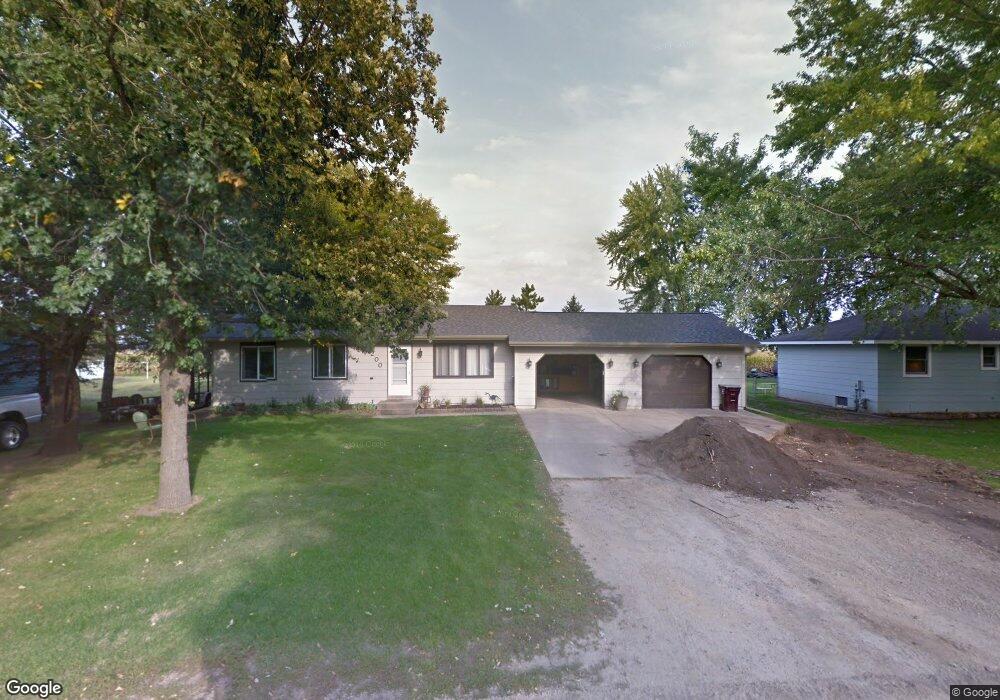
200 Shady Ave N Vermillion, MN 55085
Estimated Value: $319,000 - $337,000
3
Beds
1
Bath
1,040
Sq Ft
$312/Sq Ft
Est. Value
About This Home
This home is located at 200 Shady Ave N, Vermillion, MN 55085 and is currently estimated at $324,153, approximately $311 per square foot. 200 Shady Ave N is a home located in Dakota County with nearby schools including Pinecrest Elementary School, Hastings Middle School, and Hastings High School.
Ownership History
Date
Name
Owned For
Owner Type
Purchase Details
Closed on
Oct 20, 2009
Sold by
Waltman John K and Waltman Jamie
Bought by
Route David W and Route Rhonda L
Current Estimated Value
Home Financials for this Owner
Home Financials are based on the most recent Mortgage that was taken out on this home.
Original Mortgage
$132,000
Outstanding Balance
$86,326
Interest Rate
5.11%
Mortgage Type
New Conventional
Estimated Equity
$237,827
Purchase Details
Closed on
Apr 9, 2003
Sold by
Selski Robert J
Bought by
Waltman John K
Create a Home Valuation Report for This Property
The Home Valuation Report is an in-depth analysis detailing your home's value as well as a comparison with similar homes in the area
Home Values in the Area
Average Home Value in this Area
Purchase History
| Date | Buyer | Sale Price | Title Company |
|---|---|---|---|
| Route David W | $165,000 | -- | |
| Waltman John K | $170,000 | -- |
Source: Public Records
Mortgage History
| Date | Status | Borrower | Loan Amount |
|---|---|---|---|
| Open | Route David W | $132,000 |
Source: Public Records
Tax History Compared to Growth
Tax History
| Year | Tax Paid | Tax Assessment Tax Assessment Total Assessment is a certain percentage of the fair market value that is determined by local assessors to be the total taxable value of land and additions on the property. | Land | Improvement |
|---|---|---|---|---|
| 2024 | $2,312 | $274,100 | $79,900 | $194,200 |
| 2023 | $2,312 | $268,300 | $77,200 | $191,100 |
| 2022 | $2,032 | $272,800 | $77,700 | $195,100 |
| 2021 | $1,982 | $219,700 | $64,700 | $155,000 |
| 2020 | $1,962 | $206,500 | $61,600 | $144,900 |
| 2019 | $1,993 | $192,900 | $58,700 | $134,200 |
| 2018 | $1,973 | $182,100 | $55,900 | $126,200 |
| 2017 | $1,786 | $181,100 | $55,900 | $125,200 |
| 2016 | $1,877 | $160,600 | $50,800 | $109,800 |
| 2015 | $1,711 | $150,131 | $44,367 | $105,764 |
| 2014 | -- | $129,421 | $39,106 | $90,315 |
| 2013 | -- | $126,151 | $38,123 | $88,028 |
Source: Public Records
Map
Nearby Homes
- 18290 Clayton Ave
- 17690 Clayton Ave E
- 17905 Clayton Ave E
- 2685 Woodcliffe Trail
- 1765 Brandlewood Ct
- 2189 Westpointe Dr
- 1757 Brandlewood Ct
- 4781 Aspen St
- 2157 Westpointe Dr
- 2173 Westpointe Dr
- 2117 Westpointe Dr
- 1797 Cobblestone Ct
- 2109 Westpointe Dr
- 1821 Fallbrooke Dr
- 1634 River Shore Dr
- 2160 Ridge Pointe Dr
- Alley Plan at Heritage Ridge
- Alley Plan at Heritage Ridge - Villas
- Kenny Plan at Heritage Ridge - Villas
- Sully Plan at Heritage Ridge - Villas
- 204 Shady Ave N
- 120 Shady Ave N
- 120 Oak St E
- 116 Shady Ave N
- 208 Shady Ave N
- 205 Shady Ave N
- 119 Shady Ave N
- 209 Shady Ave N
- 114 Shady Ave N
- 210 Shady Ave N
- 116 Oak St E
- 203 Shady Ave N
- 115 Shady Ave N
- 113 Oak St E
- 109 Shady Ave N
- 110 Shady Ave N
- 109 Girgen St
- 112 Oak St E
- 301 Shady Ave N
- 110 Oak St E