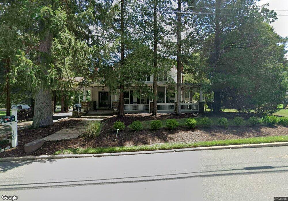
200 Shadyside Rd Ramsey, NJ 07446
Estimated Value: $1,103,875 - $1,240,000
--
Bed
--
Bath
3,304
Sq Ft
$355/Sq Ft
Est. Value
About This Home
This home is located at 200 Shadyside Rd, Ramsey, NJ 07446 and is currently estimated at $1,171,719, approximately $354 per square foot. 200 Shadyside Rd is a home located in Bergen County with nearby schools including Ramsey High School, Young World Day School, and Guidepost Montessori at Mahwah.
Ownership History
Date
Name
Owned For
Owner Type
Purchase Details
Closed on
May 13, 2022
Sold by
Breslin Iii John J and Breslin Margaret J
Bought by
Breslin Luke and Breslin Kathleen
Current Estimated Value
Home Financials for this Owner
Home Financials are based on the most recent Mortgage that was taken out on this home.
Original Mortgage
$628,000
Interest Rate
5.3%
Mortgage Type
New Conventional
Purchase Details
Closed on
May 23, 2008
Sold by
Yu Robert H and Kim Judy H
Bought by
Kim Judy H
Create a Home Valuation Report for This Property
The Home Valuation Report is an in-depth analysis detailing your home's value as well as a comparison with similar homes in the area
Home Values in the Area
Average Home Value in this Area
Purchase History
| Date | Buyer | Sale Price | Title Company |
|---|---|---|---|
| Breslin Luke | $785,000 | New Title Company Name | |
| Breslin Luke | $785,000 | Nnj Title | |
| Kim Judy H | -- | -- |
Source: Public Records
Mortgage History
| Date | Status | Borrower | Loan Amount |
|---|---|---|---|
| Previous Owner | Breslin Luke | $628,000 |
Source: Public Records
Tax History Compared to Growth
Tax History
| Year | Tax Paid | Tax Assessment Tax Assessment Total Assessment is a certain percentage of the fair market value that is determined by local assessors to be the total taxable value of land and additions on the property. | Land | Improvement |
|---|---|---|---|---|
| 2025 | $21,890 | $1,060,000 | $434,400 | $625,600 |
| 2024 | $21,231 | $775,700 | $349,500 | $426,200 |
| 2023 | $20,347 | $775,700 | $349,500 | $426,200 |
| 2022 | $20,347 | $775,700 | $349,500 | $426,200 |
| 2021 | $20,114 | $775,700 | $349,500 | $426,200 |
| 2020 | $19,935 | $775,700 | $349,500 | $426,200 |
| 2019 | $19,067 | $775,700 | $349,500 | $426,200 |
| 2018 | $18,594 | $775,700 | $349,500 | $426,200 |
| 2017 | $18,244 | $775,700 | $349,500 | $426,200 |
| 2016 | $17,740 | $775,700 | $349,500 | $426,200 |
| 2015 | $15,528 | $574,900 | $303,000 | $271,900 |
| 2014 | $15,264 | $574,900 | $303,000 | $271,900 |
Source: Public Records
Map
Nearby Homes
- 156 Deer Trail N
- 7 Birchwood Ln
- 141 W Oak St
- 7 Snyder Ave
- 45 Center St
- 50 Snyder Ave
- 199 Darlington Ave
- 916 Thoreau Ct
- 506 Mark Twain Way
- 1008 Thoreau Ct
- 1007 Thoreau Ct
- 1006 Thoreau Ct
- 1006 Thoreau Ct Unit Bldg 10
- 1904 Faulkner Ct
- 2009 Hawthorne Ln Unit 2009
- 13 Feldman Ct
- 128 Oak Ridge Rd
- 94 W Main St
- 92 W Main St
- 49 Feldman Ct
- 12 Colleen Ct
- 9 Baker Ct
- 367 Woodland Ave
- 185 Shadyside Rd
- 201 Shadyside Rd
- 16 Colleen Ct
- 219 Shadyside Rd
- 17 Baker Ct
- 3 Pine Tree Rd
- 10 Baker Ct
- 203 Shadyside Rd
- 375 Woodland Ave
- 2 Pine Tree Rd
- 5 Pine Tree Rd
- 211 Shadyside Rd
- 227 Shadyside Rd
- 16 Baker Ct
- 357 Woodland Ave
- 4 Pine Tree Rd
- 240 Shadyside Rd