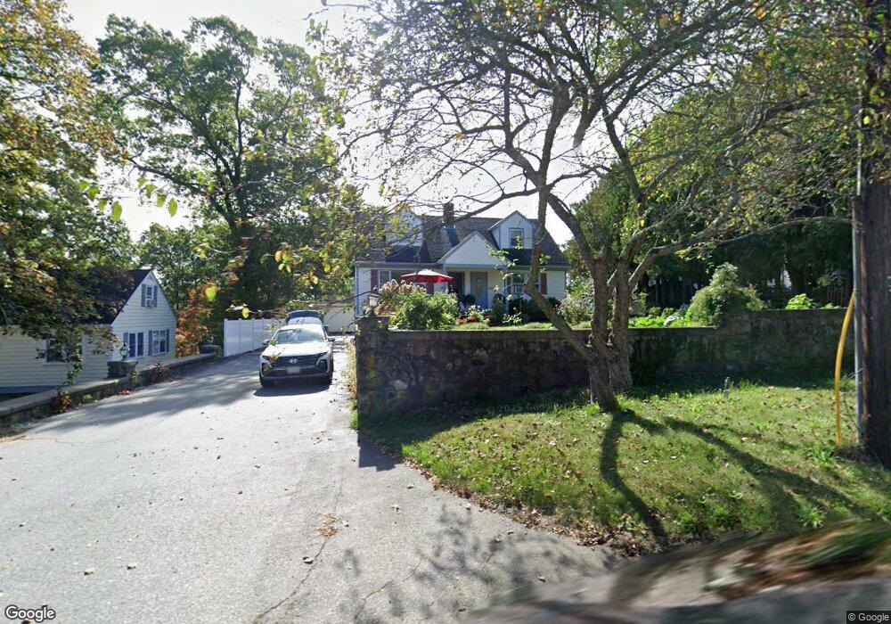
200 Sterling Rd Unit A Lancaster, MA 01523
Estimated Value: $532,000 - $845,000
3
Beds
1
Bath
850
Sq Ft
$882/Sq Ft
Est. Value
About This Home
This home is located at 200 Sterling Rd Unit A, Lancaster, MA 01523 and is currently estimated at $749,520, approximately $881 per square foot. 200 Sterling Rd Unit A is a home located in Worcester County with nearby schools including Mary Rowlandson Elementary School, Luther Burbank Middle School, and Nashoba Regional High School.
Ownership History
Date
Name
Owned For
Owner Type
Purchase Details
Closed on
Oct 6, 2020
Sold by
Parsons John P
Bought by
Kashivasi Raghavendra
Current Estimated Value
Home Financials for this Owner
Home Financials are based on the most recent Mortgage that was taken out on this home.
Original Mortgage
$405,000
Outstanding Balance
$360,226
Interest Rate
2.9%
Mortgage Type
New Conventional
Estimated Equity
$389,294
Purchase Details
Closed on
Mar 21, 2006
Sold by
Pietryka Cynthia N and Pietryka Frank J
Bought by
Parsons John P
Home Financials for this Owner
Home Financials are based on the most recent Mortgage that was taken out on this home.
Original Mortgage
$344,000
Interest Rate
6.27%
Mortgage Type
Purchase Money Mortgage
Purchase Details
Closed on
Jul 8, 2003
Sold by
Stonionis Christopher S
Bought by
Pietryka Cynthia N and Pietryka Frank J
Home Financials for this Owner
Home Financials are based on the most recent Mortgage that was taken out on this home.
Original Mortgage
$322,700
Interest Rate
5.46%
Mortgage Type
Purchase Money Mortgage
Purchase Details
Closed on
Nov 16, 1999
Sold by
Ansin Robert D
Bought by
Stonionis Christopher
Create a Home Valuation Report for This Property
The Home Valuation Report is an in-depth analysis detailing your home's value as well as a comparison with similar homes in the area
Home Values in the Area
Average Home Value in this Area
Purchase History
| Date | Buyer | Sale Price | Title Company |
|---|---|---|---|
| Kashivasi Raghavendra | $545,675 | None Available | |
| Parsons John P | $430,000 | -- | |
| Pietryka Cynthia N | $468,000 | -- | |
| Stonionis Christopher | $210,000 | -- |
Source: Public Records
Mortgage History
| Date | Status | Borrower | Loan Amount |
|---|---|---|---|
| Open | Kashivasi Raghavendra | $405,000 | |
| Previous Owner | Stonionis Christopher | $319,000 | |
| Previous Owner | Parsons John P | $344,000 | |
| Previous Owner | Pietryka Cynthia N | $322,700 | |
| Previous Owner | Stonionis Christopher | $280,000 | |
| Previous Owner | Stonionis Christopher | $25,000 |
Source: Public Records
Tax History
| Year | Tax Paid | Tax Assessment Tax Assessment Total Assessment is a certain percentage of the fair market value that is determined by local assessors to be the total taxable value of land and additions on the property. | Land | Improvement |
|---|---|---|---|---|
| 2025 | $8,471 | $524,200 | $167,400 | $356,800 |
| 2024 | $11,913 | $682,300 | $158,400 | $523,900 |
| 2023 | $9,377 | $545,500 | $147,400 | $398,100 |
| 2022 | $8,274 | $425,400 | $145,300 | $280,100 |
| 2021 | $8,118 | $406,300 | $145,300 | $261,000 |
| 2020 | $6,443 | $324,600 | $145,300 | $179,300 |
| 2019 | $6,500 | $329,100 | $145,300 | $183,800 |
| 2018 | $6,581 | $329,400 | $145,300 | $184,100 |
| 2016 | $6,313 | $322,900 | $144,300 | $178,600 |
| 2015 | $6,039 | $321,900 | $144,300 | $177,600 |
| 2014 | $6,134 | $324,400 | $144,300 | $180,100 |
Source: Public Records
Map
Nearby Homes
- 113 Parker Rd Unit 1
- 0 Parker Rd
- 76 Mill St Unit 3
- 73 Prescott St
- 132 Kilbourn Rd
- 300 Greeley St
- 0 Magnolia Ave
- 54 S Meadow Rd
- 201-203 Stone St
- 201 Stone St Unit 203
- 861 Main St
- 20 Willow St
- 508 High St
- 229 Sterling St
- 25 Greeley St Unit 2
- 719 Main St
- 51 Rigby St
- 57 Clark St
- 55 Sterling St Unit 306
- 55 Sterling St Unit 312
- 200 Sterling Rd
- 186 Sterling Rd
- 204 Sterling Rd
- 172 Sterling Rd
- 185 Sterling Rd
- 199 Sterling Rd
- 218 Sterling Rd
- 175 Sterling Rd
- 157 Sterling Rd
- 225 Sterling Rd
- 154 Sterling Rd
- 148 Sterling Rd
- 238 Sterling Rd
- 149 Sterling Rd
- 140 Sterling Rd
- 239 Sterling Rd
- 159 Sylvan Rd
- 7 Sylvan Rd
- 251 Sterling Rd
- 141 Sylvan Rd
Your Personal Tour Guide
Ask me questions while you tour the home.