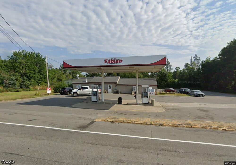
200 Unity Rd Albion, ME 04910
Estimated Value: $279,215
Studio
--
Bath
--
Sq Ft
2.8
Acres
About This Home
This home is located at 200 Unity Rd, Albion, ME 04910 and is currently estimated at $279,215. 200 Unity Rd is a home located in Kennebec County with nearby schools including Lawrence High School.
Ownership History
Date
Name
Owned For
Owner Type
Purchase Details
Closed on
Jul 16, 2015
Sold by
Mesulam Llc
Bought by
Birchwood Group Llc
Current Estimated Value
Home Financials for this Owner
Home Financials are based on the most recent Mortgage that was taken out on this home.
Original Mortgage
$120,000
Interest Rate
3.88%
Mortgage Type
Purchase Money Mortgage
Create a Home Valuation Report for This Property
The Home Valuation Report is an in-depth analysis detailing your home's value as well as a comparison with similar homes in the area
Home Values in the Area
Average Home Value in this Area
Purchase History
| Date | Buyer | Sale Price | Title Company |
|---|---|---|---|
| Birchwood Group Llc | -- | -- |
Source: Public Records
Mortgage History
| Date | Status | Borrower | Loan Amount |
|---|---|---|---|
| Closed | Birchwood Group Llc | $120,000 |
Source: Public Records
Tax History
| Year | Tax Paid | Tax Assessment Tax Assessment Total Assessment is a certain percentage of the fair market value that is determined by local assessors to be the total taxable value of land and additions on the property. | Land | Improvement |
|---|---|---|---|---|
| 2024 | $3,631 | $232,000 | $46,300 | $185,700 |
| 2023 | $3,306 | $232,000 | $46,300 | $185,700 |
| 2022 | $2,937 | $176,900 | $35,300 | $141,600 |
| 2021 | $3,113 | $176,900 | $35,300 | $141,600 |
| 2020 | $3,105 | $176,900 | $35,300 | $141,600 |
| 2019 | $2,945 | $176,900 | $35,300 | $141,600 |
| 2018 | $2,883 | $176,900 | $35,300 | $141,600 |
| 2017 | $2,830 | $176,900 | $35,300 | $141,600 |
| 2016 | $2,786 | $176,900 | $35,300 | $141,600 |
| 2015 | $2,742 | $176,900 | $35,300 | $141,600 |
| 2014 | $2,654 | $176,900 | $35,300 | $141,600 |
| 2013 | $2,565 | $176,900 | $35,300 | $141,600 |
Source: Public Records
Map
Nearby Homes
- 17 Main St
- 137 China Rd
- 253 Benton Rd
- 118 Marden Shore Rd
- 45 Marden Shore Rd
- Lot #58 S Vigue Shore Rd
- M5 L27-3 Marks Rd
- 141 Albion Rd
- 187 Richards Rd
- 12 Country View Ln
- 163 Ayer Ridge Rd
- 67 Belfast Rd
- Lot 10 Maine 137
- 88 Drake Hill Rd
- Lot 3-1 Bryant Rd
- 92 Waning Rd
- 35 Abbott Rd
- M8 L19 U S Highway 202
- 230 Beaver Ridge Rd
- 19-04 Acorn Ln
- 198 Unity Rd
- 0 209 Unit y Rd 1546288
- 208 Unity Rd
- 209 Unity Rd
- 226 Unity Rd
- 182 Unity Rd
- 221 Unity Rd
- #3 Bog
- Lot 1 Bog Rd
- Lot 4 Bog Rd
- Lot 2 Bog Rd
- 169 Unity Rd
- 3 Quaker Hill Rd
- 36 Bog Rd
- 0 Bog Rd Unit 514097
- 0 Bog Rd Unit 514091
- 0 Bog Rd Unit 465913
- 0 Bog Rd Unit 183519
- 0 Bog Rd Unit 719901
- 0 Bog Rd Unit 560865