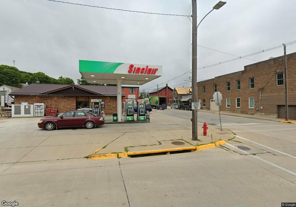
200 W Bridge St Elkader, IA 52043
Estimated Value: $203,411
--
Bed
--
Bath
1,908
Sq Ft
$107/Sq Ft
Est. Value
About This Home
This home is located at 200 W Bridge St, Elkader, IA 52043 and is currently priced at $203,411, approximately $106 per square foot. 200 W Bridge St is a home located in Clayton County with nearby schools including Central Elementary School and Central Middle School/High School.
Ownership History
Date
Name
Owned For
Owner Type
Purchase Details
Closed on
Aug 20, 2022
Sold by
Turkey River Enterprises Llc
Bought by
J-N-J Pizza Inc
Current Estimated Value
Home Financials for this Owner
Home Financials are based on the most recent Mortgage that was taken out on this home.
Original Mortgage
$250,563
Interest Rate
6.58%
Mortgage Type
Construction
Purchase Details
Closed on
Aug 19, 2021
Sold by
Nelson Leighton Edward and Nelson Lois
Bought by
Turkey River Enterprises Llc
Home Financials for this Owner
Home Financials are based on the most recent Mortgage that was taken out on this home.
Original Mortgage
$5,000,000
Interest Rate
2.7%
Mortgage Type
Commercial
Create a Home Valuation Report for This Property
The Home Valuation Report is an in-depth analysis detailing your home's value as well as a comparison with similar homes in the area
Home Values in the Area
Average Home Value in this Area
Purchase History
| Date | Buyer | Sale Price | Title Company |
|---|---|---|---|
| J-N-J Pizza Inc | $335,000 | None Listed On Document | |
| Turkey River Enterprises Llc | $165,000 | None Available |
Source: Public Records
Mortgage History
| Date | Status | Borrower | Loan Amount |
|---|---|---|---|
| Previous Owner | J-N-J Pizza Inc | $250,563 | |
| Previous Owner | Turkey River Enterprises Llc | $5,000,000 |
Source: Public Records
Tax History Compared to Growth
Tax History
| Year | Tax Paid | Tax Assessment Tax Assessment Total Assessment is a certain percentage of the fair market value that is determined by local assessors to be the total taxable value of land and additions on the property. | Land | Improvement |
|---|---|---|---|---|
| 2025 | $6,222 | $230,287 | $31,944 | $198,343 |
| 2024 | $5,710 | $202,140 | $29,040 | $173,100 |
| 2023 | $5,628 | $202,140 | $29,040 | $173,100 |
| 2022 | $3,986 | $164,853 | $15,400 | $149,453 |
| 2021 | $3,576 | $164,853 | $15,400 | $149,453 |
| 2020 | $3,576 | $154,639 | $18,316 | $136,323 |
| 2019 | $3,380 | $154,639 | $18,316 | $136,323 |
| 2018 | $3,380 | $149,503 | $17,956 | $131,547 |
| 2017 | $3,330 | $149,503 | $17,956 | $131,547 |
| 2015 | $3,178 | $135,912 | $16,324 | $119,588 |
| 2014 | $4,264 | $138,558 | $16,324 | $122,234 |
Source: Public Records
Map
Nearby Homes
- 117 S Main St
- 301 N 1st St
- 209 2nd St SW
- 302 N 3rd St
- 702 N Main St
- 707 N Main St
- 0 E Bridge St
- 710 Woodland Dr NW
- 26642 Iowa 13
- 247 Franzen Ridge Rd
- 249 Franzen Ridge Rd
- 27766 Highway 13
- 0 13 Hwy Unit NBR20255145
- 27455 Harbor Rd
- 14149 Iowa 56
- 0 Grandview Rd
- TBD Country Rd
- TBD Birch Rd
- 305 S Russell St
- 100 Volga St