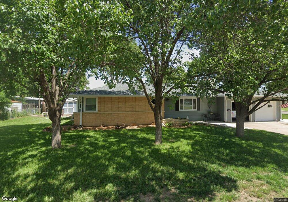
200 W Leslie Ave Salina, KS 67401
Estimated Value: $192,000 - $217,000
2
Beds
2
Baths
1,782
Sq Ft
$117/Sq Ft
Est. Value
About This Home
This home is located at 200 W Leslie Ave, Salina, KS 67401 and is currently estimated at $208,025, approximately $116 per square foot. 200 W Leslie Ave is a home located in Saline County with nearby schools including Stewart Elementary School, Salina South Middle School, and Salina High School South.
Ownership History
Date
Name
Owned For
Owner Type
Purchase Details
Closed on
Nov 26, 2021
Sold by
Alvin J Augustine Trust
Bought by
Augustine Christopher
Current Estimated Value
Purchase Details
Closed on
Aug 29, 2017
Sold by
Pollard Duane and Pollard Delouris R
Bought by
Alvin J Augustine Trust
Purchase Details
Closed on
Sep 7, 2012
Sold by
Pollard Delouris R and Pollard Duane
Bought by
Pollard Duane and Pollard Delouris R
Create a Home Valuation Report for This Property
The Home Valuation Report is an in-depth analysis detailing your home's value as well as a comparison with similar homes in the area
Home Values in the Area
Average Home Value in this Area
Purchase History
| Date | Buyer | Sale Price | Title Company |
|---|---|---|---|
| Augustine Christopher | -- | None Listed On Document | |
| Alvin J Augustine Trust | -- | None Available | |
| Pollard Duane | -- | -- |
Source: Public Records
Tax History Compared to Growth
Tax History
| Year | Tax Paid | Tax Assessment Tax Assessment Total Assessment is a certain percentage of the fair market value that is determined by local assessors to be the total taxable value of land and additions on the property. | Land | Improvement |
|---|---|---|---|---|
| 2025 | $2,969 | $22,241 | $1,816 | $20,425 |
| 2024 | $2,969 | $22,574 | $2,523 | $20,051 |
| 2023 | $2,969 | $23,035 | $2,383 | $20,652 |
| 2022 | $2,863 | $21,769 | $2,010 | $19,759 |
| 2021 | $2,661 | $19,515 | $2,447 | $17,068 |
| 2020 | $2,646 | $19,182 | $2,819 | $16,363 |
| 2019 | $2,061 | $18,251 | $2,207 | $16,044 |
| 2018 | $2,363 | $17,411 | $2,207 | $15,204 |
| 2017 | $0 | $16,319 | $2,054 | $14,265 |
| 2016 | $0 | $15,157 | $2,054 | $13,103 |
| 2015 | -- | $12,247 | $2,119 | $10,128 |
| 2013 | -- | $0 | $0 | $0 |
Source: Public Records
Map
Nearby Homes
- 366 Maple Ave
- 1945 Gebhart St
- 415 Garden Ave
- 603 Smith Ave
- 719 Maple Ave
- 1402 S 9th St
- 639 Ralph Ave
- 1110 Andrew Ave
- 220 E Ellsworth Ave
- 1100 S 9th St
- 2037 Roach St
- 944 S 10th St
- 1908 Marc St
- 960 S 9th St
- 500 E Jewell Ave
- 1418 Sunrise Dr
- 1619 Cloud Cir
- 1100 Quincy St
- 923 Sherman St
- 813 E Claflin Ave
- 1940 Highland Ave
- 1947 9th Street Place
- 1938 Highland Ave
- 2000 Highland Ave
- 1941 9th Street Place
- 1945 Highland Ave
- 1935 9th Street Place
- 1935 9th Street Place
- 1932 Highland Ave
- 1941 Highland Ave
- 2006 Highland Ave
- 215 W Leslie Ave
- 1931 9th Street Place
- 1937 Highland Ave
- 2001 Highland Ave
- 1931 Highland Ave
- 1924 Highland Ave
- 1927 9th Street Place
- 2012 Highland Ave
- 2009 Highland Ave