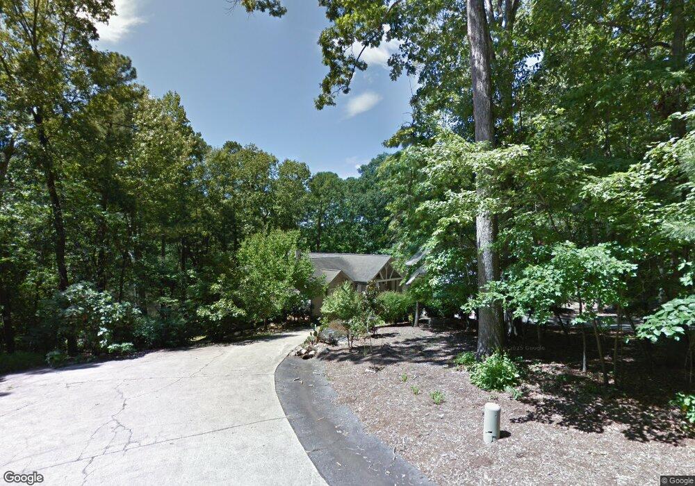
200 Wild Weasel Way Cary, NC 27513
North Cary NeighborhoodEstimated Value: $798,000 - $1,528,919
3
Beds
3
Baths
2,400
Sq Ft
$490/Sq Ft
Est. Value
About This Home
This home is located at 200 Wild Weasel Way, Cary, NC 27513 and is currently estimated at $1,175,230, approximately $489 per square foot. 200 Wild Weasel Way is a home located in Wake County with nearby schools including Northwoods Elementary School, West Cary Middle School, and Cary High School.
Ownership History
Date
Name
Owned For
Owner Type
Purchase Details
Closed on
Feb 4, 2014
Sold by
Smith Beatrice Boda and Collings Mary Anne Boda
Bought by
Smith Beatrice Boda
Current Estimated Value
Purchase Details
Closed on
Oct 25, 2013
Sold by
First Citizens Bank & Trust Company
Bought by
Smith Beatrice Boda and Collins Mary Anne Boda
Purchase Details
Closed on
Aug 21, 2000
Sold by
Teal Richard C and Teal Kim R
Bought by
Boda Victor G
Create a Home Valuation Report for This Property
The Home Valuation Report is an in-depth analysis detailing your home's value as well as a comparison with similar homes in the area
Home Values in the Area
Average Home Value in this Area
Purchase History
| Date | Buyer | Sale Price | Title Company |
|---|---|---|---|
| Smith Beatrice Boda | -- | None Available | |
| Smith Beatrice Boda | -- | None Available | |
| Boda Victor G | $510,000 | -- |
Source: Public Records
Tax History Compared to Growth
Tax History
| Year | Tax Paid | Tax Assessment Tax Assessment Total Assessment is a certain percentage of the fair market value that is determined by local assessors to be the total taxable value of land and additions on the property. | Land | Improvement |
|---|---|---|---|---|
| 2025 | $7,934 | $1,237,381 | $687,240 | $550,141 |
| 2024 | $7,704 | $1,237,381 | $687,240 | $550,141 |
| 2023 | $5,859 | $748,934 | $367,800 | $381,134 |
| 2022 | $5,429 | $748,934 | $367,800 | $381,134 |
| 2021 | $5,283 | $748,934 | $367,800 | $381,134 |
| 2020 | $5,195 | $748,934 | $367,800 | $381,134 |
| 2019 | $5,278 | $643,869 | $326,913 | $316,956 |
| 2018 | $4,852 | $643,869 | $326,913 | $316,956 |
| 2017 | $4,598 | $643,869 | $326,913 | $316,956 |
| 2016 | $4,505 | $643,869 | $326,913 | $316,956 |
| 2015 | $4,782 | $685,727 | $374,160 | $311,567 |
| 2014 | $4,532 | $685,727 | $374,160 | $311,567 |
Source: Public Records
Map
Nearby Homes
- 102 Anna Lake Ln
- 323 Stromer Dr
- 103 Evans Estates Dr
- 104 Bailey Park Ct
- 1133 Evans Rd
- 103 Needle Park Dr
- 137 Cricketgrass Dr
- 1103 Laurel Twist Rd
- 605 Birchwood Crest Trail
- 316 Matilda Place
- 111 Killam Ct Unit 2A
- 1113 Flip Trail
- 118 Grande Meadow Way
- 135 Boldleaf Ct
- 220 Rosenberry Hills Dr
- 302 Peachtree Point Ct
- 1624 Wilson Rd
- 705 Red Top Hills Ct
- 405 Gooseneck Dr Unit B2
- 405 Gooseneck Dr Unit B6
- 412 Silvergrove Dr
- 414 Silvergrove Dr
- 410 Silvergrove Dr
- 416 Silvergrove Dr
- 408 Silvergrove Dr
- 418 Silvergrove Dr
- 406 Silvergrove Dr
- 201 Wild Weasel Way
- 104 Wild Weasel Way
- 420 Silvergrove Dr
- 105 Wild Weasel Way
- 404 Silvergrove Dr
- 101 Tawny Ridge Ln
- 100 Tawny Ridge Ln
- 101 Banyon Tree Ln
- 402 Silvergrove Dr
- 100 Amber Creek Cir
- 102 Tawny Ridge Ln
- 400 Silvergrove Dr
- 100 Banyon Tree Ln