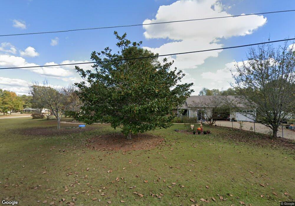
200 Woodfield Cir Lagrange, GA 30240
Estimated Value: $254,000 - $312,000
3
Beds
3
Baths
2,281
Sq Ft
$125/Sq Ft
Est. Value
About This Home
This home is located at 200 Woodfield Cir, Lagrange, GA 30240 and is currently estimated at $284,077, approximately $124 per square foot. 200 Woodfield Cir is a home located in Troup County with nearby schools including Long Cane Elementary School, Berta Weathersbee Elementary School, and Whitesville Road Elementary School.
Ownership History
Date
Name
Owned For
Owner Type
Purchase Details
Closed on
Jun 7, 2007
Sold by
Bruce Kathy D
Bought by
Fuller Charles
Current Estimated Value
Purchase Details
Closed on
Sep 3, 1991
Sold by
Tompkins Phillip D
Bought by
Bruce Kathy D
Purchase Details
Closed on
Sep 10, 1983
Sold by
Heath Sumie
Bought by
Tompkins Phillip D
Purchase Details
Closed on
Apr 1, 1983
Sold by
Heath James O and Heath Sumie
Bought by
Heath Sumie
Purchase Details
Closed on
Jun 7, 1982
Sold by
Emmons William L
Bought by
Heath James O and Heath Sumie
Purchase Details
Closed on
Aug 3, 1979
Sold by
Welch William W and Welch Carolyn F
Bought by
Emmons William L
Purchase Details
Closed on
Jun 30, 1978
Sold by
Wright Ronald and Mckinley Peggy
Bought by
Welch William W and Welch Carolyn F
Purchase Details
Closed on
Apr 1, 1974
Sold by
Starks John B and Starks Joan
Bought by
Wright Ronald and Mckinley Peggy
Purchase Details
Closed on
Jan 1, 1973
Sold by
Knight Knight and Knight Knight
Bought by
Starks John B and Starks Joan
Create a Home Valuation Report for This Property
The Home Valuation Report is an in-depth analysis detailing your home's value as well as a comparison with similar homes in the area
Purchase History
| Date | Buyer | Sale Price | Title Company |
|---|---|---|---|
| Fuller Charles | $125,000 | -- | |
| Bruce Kathy D | $25,200 | -- | |
| Tompkins Phillip D | $67,700 | -- | |
| Heath Sumie | -- | -- | |
| Heath James O | $66,000 | -- | |
| Emmons William L | $16,700 | -- | |
| Welch William W | $44,700 | -- | |
| Wright Ronald | $38,000 | -- | |
| Starks John B | $4,000 | -- | |
| Knight Knight | -- | -- |
Source: Public Records
Tax History
| Year | Tax Paid | Tax Assessment Tax Assessment Total Assessment is a certain percentage of the fair market value that is determined by local assessors to be the total taxable value of land and additions on the property. | Land | Improvement |
|---|---|---|---|---|
| 2025 | $1,984 | $110,212 | $14,000 | $96,212 |
| 2024 | $1,463 | $80,532 | $14,000 | $66,532 |
| 2023 | $802 | $74,220 | $8,000 | $66,220 |
| 2022 | $1,254 | $71,300 | $8,000 | $63,300 |
| 2021 | $1,916 | $65,520 | $8,000 | $57,520 |
| 2020 | $1,916 | $65,520 | $8,000 | $57,520 |
| 2019 | $1,677 | $57,600 | $8,000 | $49,600 |
| 2018 | $1,598 | $54,960 | $8,000 | $46,960 |
| 2017 | $1,598 | $54,960 | $8,000 | $46,960 |
| 2016 | $1,416 | $48,934 | $7,200 | $41,734 |
| 2015 | $1,419 | $48,934 | $7,200 | $41,734 |
| 2014 | $1,354 | $46,737 | $7,200 | $39,537 |
| 2013 | -- | $48,748 | $7,200 | $41,548 |
Source: Public Records
Map
Nearby Homes
- 640 Hudson Rd
- 266 Glass Bridge Rd
- 119 Plymouth Dr
- 0 Glass Bridge Rd Unit 10679358
- 113 Colonial Ct Unit 100
- 311 Cumberland Dr
- 112 Foxdale Dr
- 101 Ivy Springs Dr
- 124 Lincoln Ln
- 135 Planters Ridge Dr
- 474 Newton Rd
- 40 River Point Dr
- 105 Redwood Dr
- 808 S Fling Rd
- 509 Connie Dr
- 3009 Old West Point Rd
- 288 Bradfield Dr
- 427 Fling Rd
- 98 Hearn Rd
- 402 Ginger Cir
- 202 Woodfield Cir
- 301 Woodfield Cir
- 201 Woodfield Cir
- 300 Woodfield Cir
- 204 Woodfield Cir
- 303 Woodfield Cir
- 203 Woodfield Cir
- 206 Woodfield Cir
- 100 Oakdale Dr
- 427 Glass Bridge Rd
- 453 Glass Bridge Rd
- 390 Glass Bridge Rd
- 413 Glass Bridge Rd
- 205 Woodfield Cir
- 208 Woodfield Cir
- 305 Woodfield Cir
- 380 Glass Bridge Rd
- 380 Glass Bridge Rd
- 308 Woodfield Cir
- 102 Oakdale Dr
Your Personal Tour Guide
Ask me questions while you tour the home.