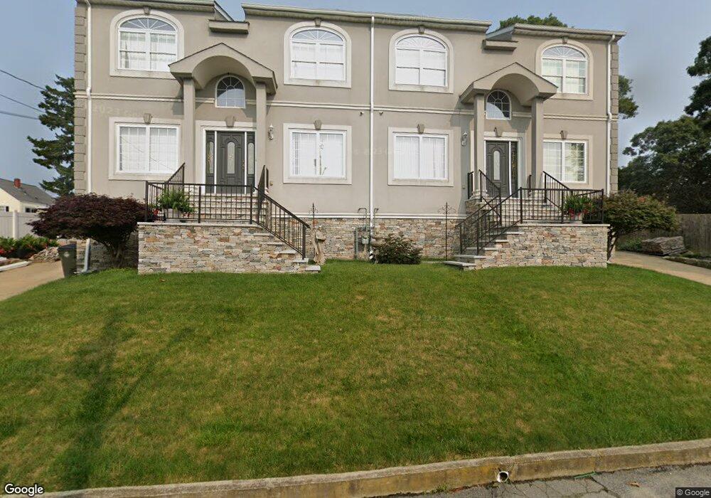
200 Woodward St Unit 210 Fall River, MA 02724
Sandy Beach NeighborhoodEstimated Value: $556,000 - $757,000
6
Beds
6
Baths
3,600
Sq Ft
$187/Sq Ft
Est. Value
About This Home
This home is located at 200 Woodward St Unit 210, Fall River, MA 02724 and is currently estimated at $673,234, approximately $187 per square foot. 200 Woodward St Unit 210 is a home located in Bristol County with nearby schools including Carlton M. Viveiros Elementary School, Matthew J. Kuss Middle School, and B M C Durfee High School.
Ownership History
Date
Name
Owned For
Owner Type
Purchase Details
Closed on
Jul 31, 2025
Sold by
Pereira Maria C
Bought by
Pereira Maria C and Pereira Jose G
Current Estimated Value
Purchase Details
Closed on
Sep 24, 2020
Sold by
Borges Antonio and Pereira Jose G
Bought by
Pereira Jose G and Pereira Maria C
Home Financials for this Owner
Home Financials are based on the most recent Mortgage that was taken out on this home.
Original Mortgage
$179,000
Interest Rate
2.9%
Mortgage Type
New Conventional
Create a Home Valuation Report for This Property
The Home Valuation Report is an in-depth analysis detailing your home's value as well as a comparison with similar homes in the area
Home Values in the Area
Average Home Value in this Area
Purchase History
| Date | Buyer | Sale Price | Title Company |
|---|---|---|---|
| Pereira Maria C | -- | -- | |
| Pereira Maria C | -- | -- | |
| Pereira Jose G | -- | None Available |
Source: Public Records
Mortgage History
| Date | Status | Borrower | Loan Amount |
|---|---|---|---|
| Previous Owner | Pereira Jose G | $179,000 |
Source: Public Records
Tax History Compared to Growth
Tax History
| Year | Tax Paid | Tax Assessment Tax Assessment Total Assessment is a certain percentage of the fair market value that is determined by local assessors to be the total taxable value of land and additions on the property. | Land | Improvement |
|---|---|---|---|---|
| 2025 | $7,479 | $653,200 | $122,600 | $530,600 |
| 2024 | $6,807 | $592,400 | $120,200 | $472,200 |
| 2023 | $6,580 | $536,300 | $108,300 | $428,000 |
| 2022 | $6,048 | $479,200 | $102,100 | $377,100 |
| 2021 | $5,309 | $383,900 | $94,300 | $289,600 |
| 2020 | $4,664 | $322,800 | $90,000 | $232,800 |
| 2019 | $4,513 | $309,500 | $94,000 | $215,500 |
| 2018 | $4,333 | $296,400 | $94,700 | $201,700 |
| 2017 | $3,996 | $285,400 | $94,700 | $190,700 |
| 2016 | $3,865 | $283,600 | $97,600 | $186,000 |
| 2015 | $3,900 | $298,200 | $97,600 | $200,600 |
| 2014 | $3,974 | $315,900 | $97,600 | $218,300 |
Source: Public Records
Map
Nearby Homes
- 66 Bailey St
- 391 Clarkson St
- 584-586 Mount Hope Ave
- 0 Sampson St
- 579 Summit St Unit 3
- 579 Summit St Unit 2
- 616 Woodman St
- 126 Wheeler St
- 133 Kempton St
- 59 Mount Hope Ave
- 289 King Philip St
- 39 Hilton St
- 15 Higgins St
- 644-648 King Philip St
- 238 Judson St
- 321 King St
- 160 Foote St
- 636-644 Dwelly St
- 105 Borden Rd
- 24 Hall St
- 155 Clarkson St
- 379 Mount Hope Ave
- 163 Woodward St
- 149 Woodward St
- 373 Mt Hope Ave Unit 2
- 175 Clarkson St
- 373 Mount Hope Ave Unit 375
- 373 Mount Hope Ave Unit 2
- 345 Mount Hope Ave
- 345 Mount Hope Ave Unit 1
- 177 Woodward St
- 389 Mount Hope Ave
- 307 Mount Hope Ave
- 162 Clarkson St
- 321 Mount Hope Ave
- 407 Mount Hope Ave
- 245 Touhey St
- 364 Mount Hope Ave
- 176 Clarkson St
- 251 Touhey St