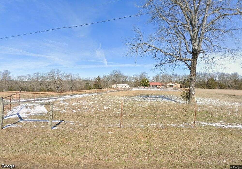
2000 Bee Branch Rd Quitman, AR 72131
Estimated Value: $178,000 - $620,000
Studio
3
Baths
3,582
Sq Ft
$124/Sq Ft
Est. Value
About This Home
This home is located at 2000 Bee Branch Rd, Quitman, AR 72131 and is currently estimated at $443,993, approximately $123 per square foot. 2000 Bee Branch Rd is a home located in Cleburne County with nearby schools including Quitman Elementary School and Quitman High School.
Ownership History
Date
Name
Owned For
Owner Type
Purchase Details
Closed on
Aug 17, 2009
Sold by
Hartwick Daren B and Hartwick Nexie N
Bought by
Hartwick Daren B
Current Estimated Value
Purchase Details
Closed on
Aug 18, 2006
Sold by
Sellers Kenneth James and Sellers Janine
Bought by
Lagasse Investments Inc
Home Financials for this Owner
Home Financials are based on the most recent Mortgage that was taken out on this home.
Original Mortgage
$322,500
Interest Rate
6.77%
Mortgage Type
Purchase Money Mortgage
Purchase Details
Closed on
Sep 27, 2000
Bought by
Sellers Kenneth James
Create a Home Valuation Report for This Property
The Home Valuation Report is an in-depth analysis detailing your home's value as well as a comparison with similar homes in the area
Purchase History
| Date | Buyer | Sale Price | Title Company |
|---|---|---|---|
| Hartwick Daren B | -- | -- | |
| Lagasse Investments Inc | $322,500 | -- | |
| Sellers Kenneth James | $167,000 | -- |
Source: Public Records
Mortgage History
| Date | Status | Borrower | Loan Amount |
|---|---|---|---|
| Previous Owner | Lagasse Investments Inc | $322,500 |
Source: Public Records
Tax History
| Year | Tax Paid | Tax Assessment Tax Assessment Total Assessment is a certain percentage of the fair market value that is determined by local assessors to be the total taxable value of land and additions on the property. | Land | Improvement |
|---|---|---|---|---|
| 2025 | $1,504 | $93,093 | $2,032 | $91,061 |
| 2024 | $1,504 | $69,070 | $1,618 | $67,452 |
| 2023 | $1,494 | $69,070 | $1,618 | $67,452 |
| 2022 | $1,459 | $69,070 | $1,618 | $67,452 |
| 2021 | $1,359 | $54,990 | $1,007 | $53,983 |
| 2020 | $1,293 | $54,990 | $1,007 | $53,983 |
| 2019 | $1,129 | $54,990 | $1,007 | $53,983 |
| 2018 | $1,092 | $54,990 | $1,007 | $53,983 |
| 2017 | $1,030 | $54,990 | $1,007 | $53,983 |
| 2016 | $908 | $32,590 | $1,399 | $31,191 |
| 2015 | $908 | $32,590 | $1,399 | $31,191 |
| 2014 | $868 | $31,559 | $1,399 | $30,160 |
Source: Public Records
Map
Nearby Homes
- 1275 Cadron Creek Rd
- 952 Tarter Hill Rd
- 950 Tarter Hill Rd
- 00 Country Wood Rd
- 35 Turkey Roost
- 31 Paul St
- 75 New St
- 475 W Crossroads
- 65 Mulberry St
- 5 Walnut St
- 75 Turkey Roost Dr
- 000 Rosebud Rd
- 5350 Heber Springs Rd W
- TBD Buckeye Ln
- 143 Wesley Chapel Rd
- 115 Greg Sneed Dr
- 100 Guy-Ln
- 370 Guy-Ln
- 102 Guy-Ln
- 000 Truman Renolds Dr
- 1990 Bee Branch Rd
- 1890 Bee Branch Rd
- 2199 Bee Branch Rd
- 210 Harris Dr
- 2221 Bee Branch Rd
- 149 Nola Porter Rd
- 150 Nola Porter Rd
- 2249 Bee Branch Rd
- 214 Harris Dr
- 1775 Bee Branch Rd
- 0 Nola Porter Rd Unit 10401849
- 0 Nola Porter Rd Unit 21038048
- 1642 Bee Branch Rd
- 345 Nola Porter Rd
- 1640 Bee Branch Rd
- 19 Van Buren Dr
- 474 Harris Dr
- 475 Van Buren Dr
- 475 Harris Dr
- 1414 Bee Branch Rd
Your Personal Tour Guide
Ask me questions while you tour the home.