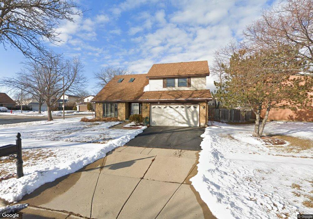
2000 Brookside Ln Hoffman Estates, IL 60169
South Hoffman Estates NeighborhoodEstimated Value: $390,000 - $451,000
4
Beds
3
Baths
2,006
Sq Ft
$211/Sq Ft
Est. Value
About This Home
This home is located at 2000 Brookside Ln, Hoffman Estates, IL 60169 and is currently estimated at $422,762, approximately $210 per square foot. 2000 Brookside Ln is a home located in Cook County with nearby schools including Neil Armstrong Elementary School, Dwight D Eisenhower Junior High School, and Hoffman Estates High School.
Ownership History
Date
Name
Owned For
Owner Type
Purchase Details
Closed on
Jul 28, 1995
Sold by
Listermann Michael F and Listermann Susan M
Bought by
Brockhouse Paula
Current Estimated Value
Home Financials for this Owner
Home Financials are based on the most recent Mortgage that was taken out on this home.
Original Mortgage
$64,500
Interest Rate
7.64%
Create a Home Valuation Report for This Property
The Home Valuation Report is an in-depth analysis detailing your home's value as well as a comparison with similar homes in the area
Home Values in the Area
Average Home Value in this Area
Purchase History
| Date | Buyer | Sale Price | Title Company |
|---|---|---|---|
| Brockhouse Paula | $464,500 | -- |
Source: Public Records
Mortgage History
| Date | Status | Borrower | Loan Amount |
|---|---|---|---|
| Closed | Brockhouse Paula | $64,500 |
Source: Public Records
Tax History
| Year | Tax Paid | Tax Assessment Tax Assessment Total Assessment is a certain percentage of the fair market value that is determined by local assessors to be the total taxable value of land and additions on the property. | Land | Improvement |
|---|---|---|---|---|
| 2025 | $7,599 | $43,000 | $5,427 | $37,573 |
| 2024 | $7,599 | $29,808 | $4,934 | $24,874 |
| 2023 | $7,972 | $33,000 | $4,934 | $28,066 |
| 2022 | $7,972 | $33,000 | $4,934 | $28,066 |
| 2021 | $7,585 | $28,633 | $7,771 | $20,862 |
| 2020 | $7,542 | $28,633 | $7,771 | $20,862 |
| 2019 | $8,114 | $33,889 | $7,771 | $26,118 |
| 2018 | $7,897 | $24,217 | $6,784 | $17,433 |
| 2017 | $4,907 | $24,217 | $6,784 | $17,433 |
| 2016 | $7,096 | $28,100 | $6,784 | $21,316 |
| 2015 | $5,869 | $22,770 | $5,920 | $16,850 |
| 2014 | $7,513 | $23,814 | $5,920 | $17,894 |
| 2013 | $5,936 | $23,814 | $5,920 | $17,894 |
Source: Public Records
Map
Nearby Homes
- 1880 Bonnie Ln Unit 116
- 1880 Bonnie Ln Unit 112
- 1475 Rebecca Dr Unit 213
- 1500 Robin Cir Unit 314
- 1800 Monterey Ct
- 2222 Seaver Ln
- 1776 Bristol Walk Unit 1776
- 1792 Williamsburg Dr
- 1797 Queensbury Cir Unit 5764
- 1760 Bristol Walk Unit F
- 1769 Sessions Walk Unit C
- 1722 Fayette Walk Unit E
- 1576 Poplar Creek Dr
- 1840 Huntington Blvd Unit BW511
- 1840 Huntington Blvd Unit 203
- 2080 Sutherland Place Unit 1
- 1836 Stockton Dr Unit 3312
- 1975 Windsong Dr Unit 333E1
- 1936 Whitingham Ln Unit 1
- 1450 Meyer Rd
- 1990 Brookside Ln Unit 4
- 1525 Brookside Dr
- 1980 Brookside Ln
- 1535 Brookside Dr
- 1510 Brookside Dr
- 1475 Brookside Dr
- 1972 Brookside Ln
- 1530 Brookside Dr
- 1995 Brookside Ln
- 1500 Brookside Dr
- 1985 Brookside Ln
- 1549 Brookside Dr
- 1465 Brookside Dr
- 1975 Brookside Ln
- 1514 Brookside Dr
- 1970 Brookside Ln Unit 4A
- 1518 Brookside Dr
- 1526 Brookside Dr
- 1522 Brookside Dr
- 1965 Brookside Ln
Your Personal Tour Guide
Ask me questions while you tour the home.