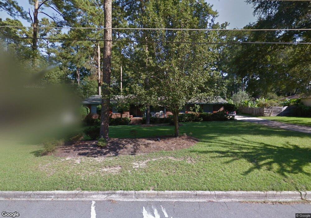
2000 Hammock Dr Valdosta, GA 31602
Estimated Value: $246,143 - $289,000
--
Bed
2
Baths
2,290
Sq Ft
$117/Sq Ft
Est. Value
About This Home
This home is located at 2000 Hammock Dr, Valdosta, GA 31602 and is currently estimated at $267,036, approximately $116 per square foot. 2000 Hammock Dr is a home located in Lowndes County with nearby schools including S.L. Mason Elementary School, Valdosta Middle School, and Valdosta High School.
Ownership History
Date
Name
Owned For
Owner Type
Purchase Details
Closed on
Dec 20, 2022
Sold by
Turrentine Brooks Phyllis
Bought by
Phyllis T Alvarez Family Tr
Current Estimated Value
Purchase Details
Closed on
Jan 21, 2001
Sold by
Brooks James T
Bought by
Brooks Phyllis Turrentine
Purchase Details
Closed on
Jul 26, 1974
Bought by
Brooks James T
Purchase Details
Closed on
Oct 27, 1972
Bought by
Barrett Jerry L
Purchase Details
Closed on
Apr 1, 1971
Bought by
Carver Billy F
Create a Home Valuation Report for This Property
The Home Valuation Report is an in-depth analysis detailing your home's value as well as a comparison with similar homes in the area
Home Values in the Area
Average Home Value in this Area
Purchase History
| Date | Buyer | Sale Price | Title Company |
|---|---|---|---|
| Phyllis T Alvarez Family Tr | -- | -- | |
| Brooks Phyllis Turrentine | -- | -- | |
| Brooks James T | $8,200 | -- | |
| Barrett Jerry L | $31,900 | -- | |
| Carver Billy F | $27,700 | -- |
Source: Public Records
Tax History Compared to Growth
Tax History
| Year | Tax Paid | Tax Assessment Tax Assessment Total Assessment is a certain percentage of the fair market value that is determined by local assessors to be the total taxable value of land and additions on the property. | Land | Improvement |
|---|---|---|---|---|
| 2024 | $2,038 | $82,956 | $18,000 | $64,956 |
| 2023 | $2,038 | $78,724 | $18,000 | $60,724 |
| 2022 | $1,993 | $64,982 | $18,000 | $46,982 |
| 2021 | $1,726 | $55,638 | $18,000 | $37,638 |
| 2020 | $1,763 | $55,638 | $18,000 | $37,638 |
| 2019 | $1,762 | $55,638 | $18,000 | $37,638 |
| 2018 | $1,785 | $55,638 | $18,000 | $37,638 |
| 2017 | $1,797 | $55,638 | $18,000 | $37,638 |
| 2016 | $1,795 | $55,638 | $18,000 | $37,638 |
| 2015 | -- | $55,638 | $18,000 | $37,638 |
| 2014 | $1,675 | $55,638 | $18,000 | $37,638 |
Source: Public Records
Map
Nearby Homes
- 2115 Westfield Dr
- 2201 Riverside Dr
- 2115 Pinecliff Dr
- 2213 Riverside Dr
- 2206 Gornto Rd
- 2206 Briarcliff Dr
- 2243 Oakgrove Cir
- 21701 Highpoint Dr
- 5983 Lakeshore Dr
- 1921 Gornto Rd Unit 19
- 1921 Gornto Rd Unit 5
- 1921 Gornto Rd Unit 6
- 2523 Buena Vista Cir
- 2316 Riverhill Dr
- 2121 Northwood Cir
- 2092 S Sherwood Dr Unit L100
- 2092 S Sherwood Dr Unit N118
- 2092 S Sherwood Dr Unit E38
- 2092 S Sherwood Dr Unit P130
- 2092 S Sherwood Dr
- 1998 Hammock Dr
- 2002 Hammock Dr
- 2003 Wood Valley Dr
- 2005 Wood Valley Dr
- 2001 Hammock Dr
- 1997 Hammock Dr
- 2004 Hammock Dr
- 1996 Hammock Dr
- 2124 Pinecliff Dr
- 2003 Hammock Dr
- 2118 Pinecliff Dr
- 2007 Wood Valley Dr
- 2006 Hammock Dr
- 2117 Westfield Dr
- 2005 Hammock Dr
- 2112 Westfield Dr
- 2116 Pinecliff Dr
- 2000 Wood Valley Dr
- 2125 Pinecliff Dr
- 2123 Pinecliff Dr