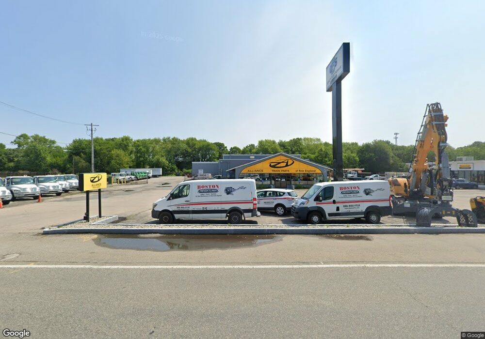
2000 Main St Brockton, MA 02301
Campello NeighborhoodEstimated Value: $4,260,722
1
Bed
1
Bath
3,390
Sq Ft
$1,257/Sq Ft
Est. Value
About This Home
This home is located at 2000 Main St, Brockton, MA 02301 and is currently estimated at $4,260,722, approximately $1,256 per square foot. 2000 Main St is a home located in Plymouth County with nearby schools including Gilmore Elementary School, Davis K-8 School, and John F. Kennedy Elementary School.
Ownership History
Date
Name
Owned For
Owner Type
Purchase Details
Closed on
Jun 8, 2009
Sold by
Clark William P
Bought by
Lfga Rt
Current Estimated Value
Home Financials for this Owner
Home Financials are based on the most recent Mortgage that was taken out on this home.
Original Mortgage
$1,265,000
Outstanding Balance
$801,827
Interest Rate
4.83%
Mortgage Type
Commercial
Estimated Equity
$3,458,895
Create a Home Valuation Report for This Property
The Home Valuation Report is an in-depth analysis detailing your home's value as well as a comparison with similar homes in the area
Home Values in the Area
Average Home Value in this Area
Purchase History
| Date | Buyer | Sale Price | Title Company |
|---|---|---|---|
| Lfga Rt | $1,765,000 | -- |
Source: Public Records
Mortgage History
| Date | Status | Borrower | Loan Amount |
|---|---|---|---|
| Open | Lfga Rt | $1,265,000 | |
| Previous Owner | Lfga Rt | $2,300,000 | |
| Previous Owner | Lfga Rt | $300,000 |
Source: Public Records
Tax History Compared to Growth
Tax History
| Year | Tax Paid | Tax Assessment Tax Assessment Total Assessment is a certain percentage of the fair market value that is determined by local assessors to be the total taxable value of land and additions on the property. | Land | Improvement |
|---|---|---|---|---|
| 2025 | $37,267 | $1,738,600 | $732,100 | $1,006,500 |
| 2024 | $37,267 | $1,738,600 | $669,800 | $1,068,800 |
| 2023 | $0 | $1,420,300 | $581,300 | $839,000 |
| 2022 | $37,267 | $1,285,600 | $581,300 | $704,300 |
| 2021 | $0 | $1,225,500 | $553,600 | $671,900 |
| 2020 | $37,267 | $1,225,500 | $529,100 | $696,400 |
| 2019 | $37,079 | $1,170,800 | $529,100 | $641,700 |
| 2018 | $47,542 | $1,430,700 | $742,000 | $688,700 |
| 2017 | $46,119 | $1,400,100 | $742,000 | $658,100 |
| 2016 | $41,626 | $1,300,000 | $742,130 | $557,870 |
| 2015 | $52,334 | $1,544,700 | $742,130 | $802,570 |
| 2014 | $52,458 | $1,544,700 | $742,130 | $802,570 |
Source: Public Records
Map
Nearby Homes
- 1940 Main St
- 2020 Main St
- 1933 Main St
- 2074 Main St
- 22 Tayler Ave
- 1854 Main St
- 18 Tayler Ave
- 25 Ej Medairos Way
- 25 Ej Medairos Way
- 16 Tayler Ave
- 6 Tayler Ave Unit 6A
- 4 Tayler Ave Unit 4A
- 8 Tayler Ave
- 6 Tayler Ave
- 4 Tayler Ave
- 6 Mobile Dr
- 23 Ej Medairos Way
- 21 Ej Medairos Way
- 12 Tayler Ave
- 12 Tayler Ave