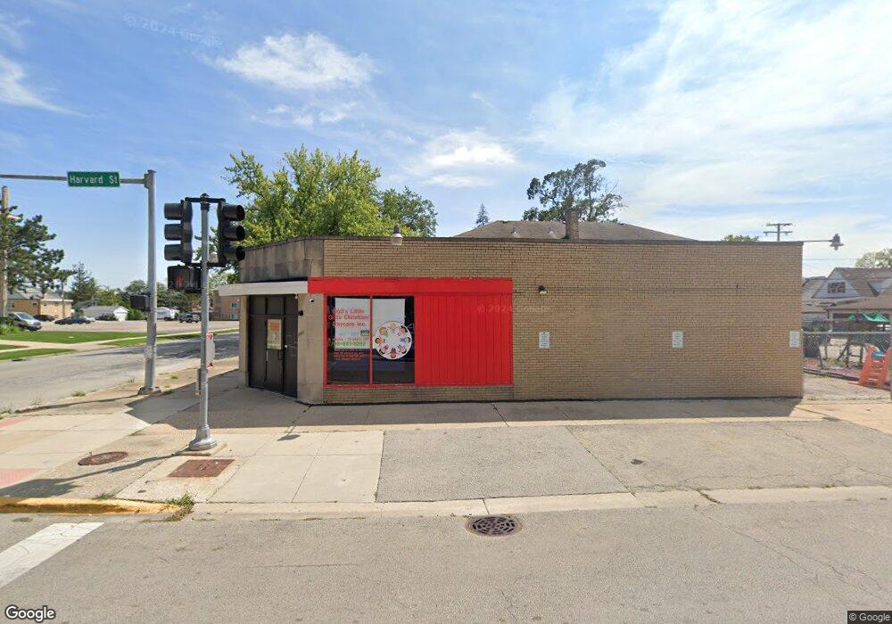
2000 S 17th Ave Broadview, IL 60155
South Maywood Neighborhood
Studio
--
Bath
9,857
Sq Ft
9,583
Sq Ft Lot
About This Home
This home is located at 2000 S 17th Ave, Broadview, IL 60155. 2000 S 17th Ave is a home located in Cook County with nearby schools including Lexington Elementary School, Roosevelt Elementary School, and Irving Middle School.
Ownership History
Date
Name
Owned For
Owner Type
Purchase Details
Closed on
Mar 15, 2018
Sold by
Zanoni Lawrence
Bought by
Delaine Constance M and Delaine Falecia F
Home Financials for this Owner
Home Financials are based on the most recent Mortgage that was taken out on this home.
Original Mortgage
$247,500
Interest Rate
6%
Mortgage Type
Commercial
Create a Home Valuation Report for This Property
The Home Valuation Report is an in-depth analysis detailing your home's value as well as a comparison with similar homes in the area
Home Values in the Area
Average Home Value in this Area
Purchase History
| Date | Buyer | Sale Price | Title Company |
|---|---|---|---|
| Delaine Constance M | $330,000 | Old Republic Title |
Source: Public Records
Mortgage History
| Date | Status | Borrower | Loan Amount |
|---|---|---|---|
| Closed | Delaine Constance M | $247,500 |
Source: Public Records
Tax History Compared to Growth
Tax History
| Year | Tax Paid | Tax Assessment Tax Assessment Total Assessment is a certain percentage of the fair market value that is determined by local assessors to be the total taxable value of land and additions on the property. | Land | Improvement |
|---|---|---|---|---|
| 2025 | $6,052 | $22,000 | $1,966 | $20,034 |
| 2024 | $6,052 | $22,000 | $1,966 | $20,034 |
| 2023 | $5,951 | $22,000 | $1,966 | $20,034 |
| 2022 | $5,951 | $17,888 | $1,556 | $16,332 |
| 2021 | $5,734 | $17,888 | $1,556 | $16,332 |
| 2020 | $5,587 | $17,888 | $1,556 | $16,332 |
| 2019 | $5,115 | $14,841 | $1,392 | $13,449 |
| 2018 | $4,953 | $14,841 | $1,392 | $13,449 |
| 2017 | $4,886 | $14,841 | $1,392 | $13,449 |
| 2016 | $5,004 | $14,376 | $1,228 | $13,148 |
| 2015 | $4,940 | $14,376 | $1,228 | $13,148 |
| 2014 | $4,803 | $14,376 | $1,228 | $13,148 |
| 2013 | $5,690 | $18,460 | $1,228 | $17,232 |
Source: Public Records
Map
Nearby Homes
- 1927 S 17th Ave
- 2036 S 15th Ave
- 1924 S 15th Ave
- 1909 S 20th Ave
- 2100 14th Ave
- 1924 S 13th Ave
- 1909 S 22nd Ave
- 1910 S 22nd Ave
- 1615 S 20th Ave
- 1605 S 16th Ave
- 1908 S 23rd Ave
- 2001 S 11th Ave
- 2237 S 22nd Ave
- 2016 S 10th Ave
- 2218 S 11th Ave
- 1416 S 17th Ave
- 2347 S 17th Ave
- 1412 S 14th Ave
- 1902 S 9th Ave
- 2320 S 22nd Ave
- 2006 S 17th Ave
- 2008 S 17th Ave
- 2010 S 17th Ave
- 2003 S 18th Ave
- 1936 S 17th Ave
- 1936 S 17th Ave
- 2005 S 18th Ave
- 2012 S 17th Ave
- 2001 S 18th Ave
- 2007 S 18th Ave
- 2009 S 18th Ave
- 2014 S 17th Ave
- 2011 S 18th Ave
- 1941 S 18th Ave
- 2013 S 18th Ave
- 2016 S 17th Ave
- 1934 S 17th Ave
- 1937 S 18th Ave
- 2018 S 17th Ave
- 1933 S 18th Ave