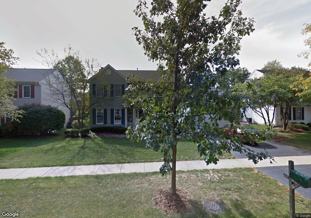
2000 Sheffield Ln Unit 2A Geneva, IL 60134
Northwest Central Geneva NeighborhoodEstimated Value: $536,000 - $571,000
4
Beds
3
Baths
2,606
Sq Ft
$210/Sq Ft
Est. Value
About This Home
This home is located at 2000 Sheffield Ln Unit 2A, Geneva, IL 60134 and is currently estimated at $547,950, approximately $210 per square foot. 2000 Sheffield Ln Unit 2A is a home located in Kane County with nearby schools including Williamsburg Elementary School, Geneva Community High School, and Kensington School - Geneva.
Ownership History
Date
Name
Owned For
Owner Type
Purchase Details
Closed on
Apr 14, 2001
Sold by
Briney Kenneth S
Bought by
Hertel Paul E and Hertel Kathleen M
Current Estimated Value
Home Financials for this Owner
Home Financials are based on the most recent Mortgage that was taken out on this home.
Original Mortgage
$220,000
Interest Rate
7.18%
Purchase Details
Closed on
Dec 9, 1999
Sold by
Briney Kenneth S and Briney Margaret T
Bought by
Briney Kenneth S and Kenneth S Briney Declaration Of Trust
Create a Home Valuation Report for This Property
The Home Valuation Report is an in-depth analysis detailing your home's value as well as a comparison with similar homes in the area
Home Values in the Area
Average Home Value in this Area
Purchase History
| Date | Buyer | Sale Price | Title Company |
|---|---|---|---|
| Hertel Paul E | $289,000 | First American Title | |
| Briney Kenneth S | -- | -- |
Source: Public Records
Mortgage History
| Date | Status | Borrower | Loan Amount |
|---|---|---|---|
| Previous Owner | Hertel Paul E | $220,000 |
Source: Public Records
Tax History
| Year | Tax Paid | Tax Assessment Tax Assessment Total Assessment is a certain percentage of the fair market value that is determined by local assessors to be the total taxable value of land and additions on the property. | Land | Improvement |
|---|---|---|---|---|
| 2024 | $10,738 | $148,291 | $34,159 | $114,132 |
| 2023 | $10,442 | $134,810 | $31,054 | $103,756 |
| 2022 | $9,995 | $125,265 | $28,855 | $96,410 |
| 2021 | $9,701 | $120,610 | $27,783 | $92,827 |
| 2020 | $9,587 | $118,769 | $27,359 | $91,410 |
| 2019 | $9,560 | $116,520 | $26,841 | $89,679 |
| 2018 | $9,352 | $114,282 | $26,841 | $87,441 |
| 2017 | $9,247 | $111,234 | $26,125 | $85,109 |
| 2016 | $9,294 | $109,731 | $25,772 | $83,959 |
| 2015 | -- | $104,327 | $24,503 | $79,824 |
| 2014 | -- | $104,327 | $24,503 | $79,824 |
| 2013 | -- | $104,327 | $24,503 | $79,824 |
Source: Public Records
Map
Nearby Homes
- 1919 Sheffield Ln
- 549 Bloomfield Cir
- 525 Bradbury Ln Unit 525
- 524 Bradbury Ln
- 1736 Kaneville Rd
- 2309 Sudbury Ln
- 2753 Stone Cir
- 2749 Stone Cir
- 2747 Stone Cir
- 2751 Stone Cir
- 369 Fritz Ln
- 301 Country Club Place
- 1342 S 14th St Unit A2
- 2692 Stone Cir Unit 209
- 629 N Lincoln Ave
- 2731 Stone Cir
- 2767 Stone Cir
- 2769 Stone Cir
- 2719 Stone Cir
- 2771 Stone Cir
- 2002 Sheffield Ln
- 1996 Sheffield Ln
- 2013 Williamsburg Ave
- 1999 Williamsburg Ave
- 2010 Sheffield Ln
- 1916 Sheffield Ln Unit 2
- 2015 Williamsburg Ave Unit 2
- 325 Colonial Cir
- 1921 Williamsburg Ave
- 1997 Sheffield Ln Unit 2
- 2016 Sheffield Ln
- 2017 Williamsburg Ave
- 1912 Sheffield Ln
- 1915 Williamsburg Ave
- 327 Colonial Cir Unit 4
- 2009 Sheffield Ln Unit 2A
- 2018 Sheffield Ln
- 2019 Williamsburg Ave Unit 2
- 1910 Sheffield Ln Unit 2
- 2000 Williamsburg Ave
Your Personal Tour Guide
Ask me questions while you tour the home.