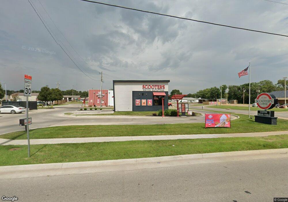
2000 W Central Ave El Dorado, KS 67042
--
Bed
--
Bath
544
Sq Ft
0.35
Acres
About This Home
This home is located at 2000 W Central Ave, El Dorado, KS 67042. 2000 W Central Ave is a home located in Butler County with nearby schools including El Dorado High School.
Ownership History
Date
Name
Owned For
Owner Type
Purchase Details
Closed on
Mar 11, 2020
Sold by
R U Investments Llc
Bought by
Graeve Enterprises Llc
Purchase Details
Closed on
Dec 19, 2018
Sold by
Underwood Ryan
Bought by
R U Investments Llc
Home Financials for this Owner
Home Financials are based on the most recent Mortgage that was taken out on this home.
Original Mortgage
$378,950
Interest Rate
4.9%
Mortgage Type
Future Advance Clause Open End Mortgage
Create a Home Valuation Report for This Property
The Home Valuation Report is an in-depth analysis detailing your home's value as well as a comparison with similar homes in the area
Home Values in the Area
Average Home Value in this Area
Purchase History
| Date | Buyer | Sale Price | Title Company |
|---|---|---|---|
| Graeve Enterprises Llc | -- | Attorney Only | |
| R U Investments Llc | -- | None Available |
Source: Public Records
Mortgage History
| Date | Status | Borrower | Loan Amount |
|---|---|---|---|
| Previous Owner | R U Investments Llc | $378,950 |
Source: Public Records
Tax History Compared to Growth
Tax History
| Year | Tax Paid | Tax Assessment Tax Assessment Total Assessment is a certain percentage of the fair market value that is determined by local assessors to be the total taxable value of land and additions on the property. | Land | Improvement |
|---|---|---|---|---|
| 2025 | $163 | $97,356 | $36,938 | $60,418 |
| 2024 | $163 | $97,356 | $36,938 | $60,418 |
| 2023 | $15,406 | $92,198 | $35,375 | $56,823 |
| 2022 | $15,329 | $87,278 | $35,375 | $51,903 |
| 2021 | $5,055 | $83,486 | $33,813 | $49,673 |
| 2020 | $5,644 | $29,428 | $17,120 | $12,308 |
| 2019 | $5,658 | $29,070 | $17,120 | $11,950 |
| 2018 | $5,655 | $28,860 | $17,120 | $11,740 |
| 2017 | $4,906 | $24,365 | $13,695 | $10,670 |
| 2014 | -- | $86,440 | $54,780 | $31,660 |
Source: Public Records
Map
Nearby Homes
- 109 Eunice St
- 229 Oil Hill Rd
- 153 Eunice St
- 240 State St
- 116 N Arthur St
- 405 S Arthur St
- 1503 W Ash Ave
- 728 Audrey Dr
- 424 N Arthur St
- 208 S Orchard St
- 131 Residence St
- 701 Sunset Ln
- 323 Race St
- 425 Race St
- 222 Millheisler Rd
- 111 S Summit St
- 510 N Alleghany St
- 503 N Summit St
- 616 N Alleghany St
- 620 Frazier St
- 139 Oil Hill Rd
- 127 Oil Hill Rd
- 0 W Central Ave Unit 306338
- 0 W Central Ave Unit 341387
- 0 W Central Ave Unit 349745
- 0 W Central Ave Unit 2700 BLOCK OF W CENT
- 0 W Central Ave Unit 359888
- 0 W Central Ave Unit 367992
- 0 W Central Ave Unit 376071
- 0 W Central Ave Unit 538652
- 0 W Central Ave Unit 543497
- 0 W Central Ave Unit 561903
- 131 Hillside St
- 121 Hillside St
- 139 Hillside St
- 201 Hillside St
- 635 W Central Ave
- 0.96+/- Acres W Central Ave
- 2508 W Central Ave
- 215 Oil Hill Rd
