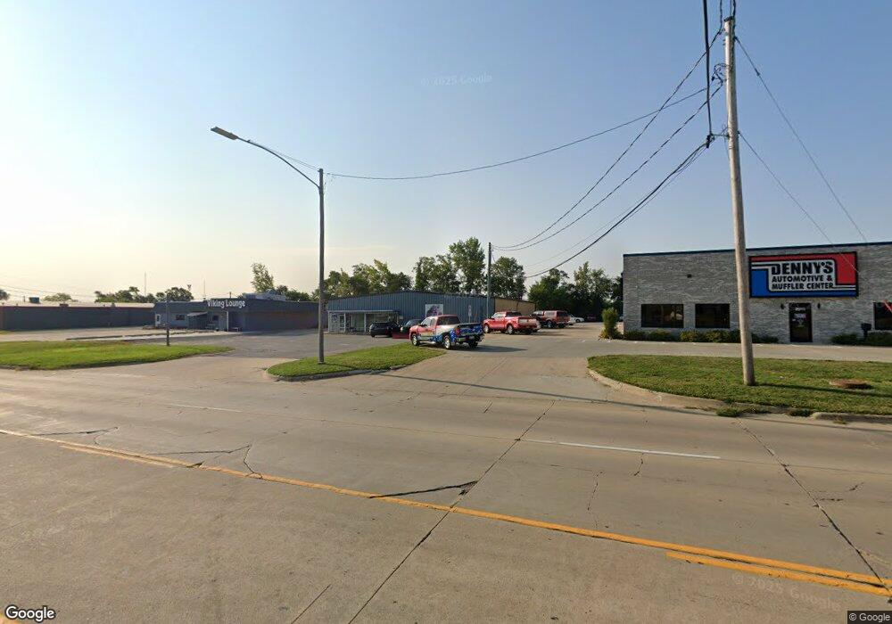
2001 16th Ave SW Cedar Rapids, IA 52404
Estimated Value: $416,786
--
Bed
--
Bath
8,400
Sq Ft
$50/Sq Ft
Est. Value
About This Home
This home is located at 2001 16th Ave SW, Cedar Rapids, IA 52404 and is currently estimated at $416,786, approximately $49 per square foot. 2001 16th Ave SW is a home located in Linn County with nearby schools including Junction City Elementary School, Perryville Elementary School, and Van Buren Elementary School.
Ownership History
Date
Name
Owned For
Owner Type
Purchase Details
Closed on
Feb 18, 2022
Sold by
Schwitters Enterprises Inc
Bought by
T & C Properties Llc
Current Estimated Value
Home Financials for this Owner
Home Financials are based on the most recent Mortgage that was taken out on this home.
Original Mortgage
$321,600
Outstanding Balance
$298,630
Interest Rate
3.55%
Mortgage Type
New Conventional
Estimated Equity
$118,156
Create a Home Valuation Report for This Property
The Home Valuation Report is an in-depth analysis detailing your home's value as well as a comparison with similar homes in the area
Home Values in the Area
Average Home Value in this Area
Purchase History
| Date | Buyer | Sale Price | Title Company |
|---|---|---|---|
| T & C Properties Llc | $340,000 | None Listed On Document |
Source: Public Records
Mortgage History
| Date | Status | Borrower | Loan Amount |
|---|---|---|---|
| Open | T & C Properties Llc | $321,600 |
Source: Public Records
Tax History Compared to Growth
Tax History
| Year | Tax Paid | Tax Assessment Tax Assessment Total Assessment is a certain percentage of the fair market value that is determined by local assessors to be the total taxable value of land and additions on the property. | Land | Improvement |
|---|---|---|---|---|
| 2025 | $12,964 | $475,000 | $135,600 | $339,400 |
| 2024 | $8,322 | $450,000 | $135,600 | $314,400 |
| 2023 | $8,322 | $450,000 | $135,600 | $314,400 |
| 2022 | $7,266 | $298,500 | $49,300 | $249,200 |
| 2021 | $7,284 | $537,700 | $49,300 | $488,400 |
| 2020 | $7,284 | $539,700 | $49,300 | $490,400 |
| 2019 | $6,882 | $294,500 | $49,300 | $245,200 |
| 2018 | $6,856 | $294,500 | $49,300 | $245,200 |
| 2017 | $5,248 | $241,000 | $49,300 | $191,700 |
| 2016 | $8,288 | $241,000 | $49,300 | $191,700 |
| 2015 | $8,282 | $241,001 | $49,295 | $191,706 |
| 2014 | $5,876 | $241,001 | $49,295 | $191,706 |
| 2013 | $7,838 | $241,001 | $49,295 | $191,706 |
Source: Public Records
Map
Nearby Homes
- 1824 Holly Meadow Ave SW
- 1818 Holly Meadow Ave SW
- Remington - Cedar Rapids Plan at Whispering Pines
- Copeland Plan at Whispering Pines
- Meadowbrook - Cedar Rapids Plan at Stags Leap Estates
- Caldwell Plan at Stags Leap Estates
- Concord - Cedar Rapids Plan at Stags Leap Estates
- Yuma Expanded Plan at Whispering Pines
- Becker II Plan at Kirkwood Village - Kirk Wood Village
- Meadowbrook - Cedar Rapids Plan at Whispering Pines
- Richland Plan at Stags Leap Estates
- Prescott - Cedar Rapids Plan at Stags Leap Estates
- Becker Plan at Kirkwood Village - Kirk Wood Village
- Bakersfield - Cedar Rapids Plan at Whispering Pines
- Cedar Plan at Stags Leap Estates
- Becker - Cedar Rapids Plan at Whispering Pines
- Becker II - Cedar Rapids Plan at Whispering Pines
- Becker II - Cedar Rapids Plan at Stags Leap Estates
- Concord - Cedar Rapids Plan at Whispering Pines
- Yuma Expanded Plan at Stags Leap Estates
- 2018 Holly Meadow Ave SW
- 2012 Holly Meadow Ave SW
- 2024 Holly Meadow Ave SW
- 1901 16th Ave SW
- 2030 Holly Meadow Ave SW
- 2006 Holly Meadow Ave SW
- 2000 Holly Meadow Ave SW
- 2036 Holly Dr SW
- 1926 Holly Meadow Ave SW
- 2042 Holly Dr SW
- 1920 Holly Meadow Ave SW
- 2027 16th Ave SW
- 2009 Holly Meadow Ave SW
- 2027 Holly Meadow Ave SW
- 2003 Holly Meadow Ave SW
- 2102 Holly Meadow Ave SW
- 1914 Holly Meadow Ave SW
- 2033 Holly Meadow Ave SW
- 1925 Holly Meadow Ave SW
- 2108 Holly Meadow Ave SW