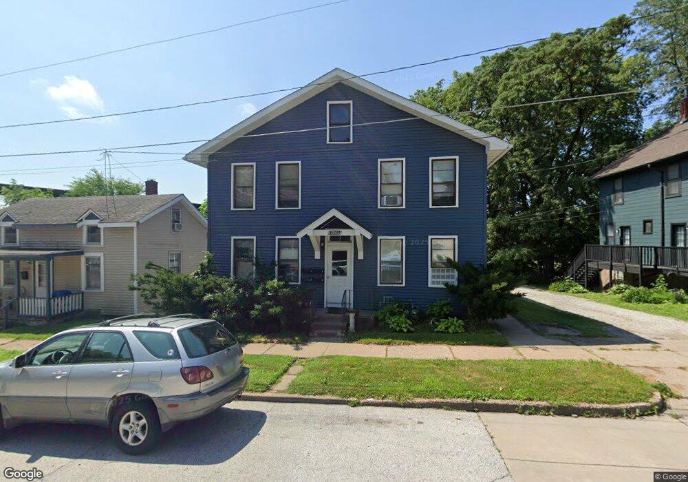
2001 E 11th St Davenport, IA 52803
East End NeighborhoodEstimated Value: $109,000 - $169,000
4
Beds
4
Baths
1,320
Sq Ft
$107/Sq Ft
Est. Value
About This Home
This home is located at 2001 E 11th St, Davenport, IA 52803 and is currently estimated at $141,008, approximately $106 per square foot. 2001 E 11th St is a home located in Scott County with nearby schools including McKinley Elementary School, Sudlow Intermediate School, and Central High School.
Ownership History
Date
Name
Owned For
Owner Type
Purchase Details
Closed on
Dec 20, 2022
Sold by
Kelly Alexander J
Bought by
Pegasus 62 Iowa Llc
Current Estimated Value
Create a Home Valuation Report for This Property
The Home Valuation Report is an in-depth analysis detailing your home's value as well as a comparison with similar homes in the area
Home Values in the Area
Average Home Value in this Area
Purchase History
| Date | Buyer | Sale Price | Title Company |
|---|---|---|---|
| Pegasus 62 Iowa Llc | -- | -- |
Source: Public Records
Tax History
| Year | Tax Paid | Tax Assessment Tax Assessment Total Assessment is a certain percentage of the fair market value that is determined by local assessors to be the total taxable value of land and additions on the property. | Land | Improvement |
|---|---|---|---|---|
| 2025 | $1,932 | $108,090 | $11,930 | $96,160 |
| 2024 | $1,580 | $108,090 | $11,930 | $96,160 |
| 2023 | $1,654 | $90,600 | $11,930 | $78,670 |
| 2022 | $1,878 | $77,390 | $11,930 | $65,460 |
| 2021 | $1,878 | $74,280 | $11,930 | $62,350 |
| 2020 | $2,088 | $74,280 | $11,930 | $62,350 |
| 2019 | $2,036 | $68,850 | $11,930 | $56,920 |
| 2018 | $2,140 | $68,850 | $11,930 | $56,920 |
| 2017 | $2,268 | $68,850 | $11,930 | $56,920 |
| 2016 | $2,530 | $74,500 | $0 | $0 |
| 2015 | $2,530 | $74,500 | $0 | $0 |
| 2014 | $2,672 | $74,500 | $0 | $0 |
| 2013 | $2,840 | $0 | $0 | $0 |
| 2012 | -- | $74,500 | $10,400 | $64,100 |
Source: Public Records
Map
Nearby Homes
- 1928 E 11th St
- 1202 Adams St
- 1325 Mississippi Ave
- 1504 Christie St
- 2316 East St
- 1515 Jersey Ridge Rd
- 1102 College Ave
- 1220 College Ave
- 1224 E 11th St
- 2107 E Locust St
- 2109 E Locust St
- 2538 Fulton Ave
- 71 Crestwood Terrace
- 1803 Belle Ave
- 1816 Belle Ave
- 1815 Belle Ave
- 2509 East St
- 2134 E Locust St
- 1012 Bridge Ave
- 1616 Esplanade Ave
- 2005 E 11th St
- 1931 E 11th St
- 2012 E 11th St
- 2002 E 11th St
- 2006 E 11th St
- 1919 E 11th St
- 1930 E 11th St
- 1022 Mound St
- 1030 Mound St
- 1026 Mound St
- 1018 Mound St
- 1920 E 11th St
- 1121 Hildreth St
- 1100 Mound St
- 1100 Mound St Unit 3
- 2020 E 11th St
- 1102 Mound St
- 1102 Mound St Unit 1
- 1100 106 Mound St
- 1102 Mound St Unit 2
Your Personal Tour Guide
Ask me questions while you tour the home.