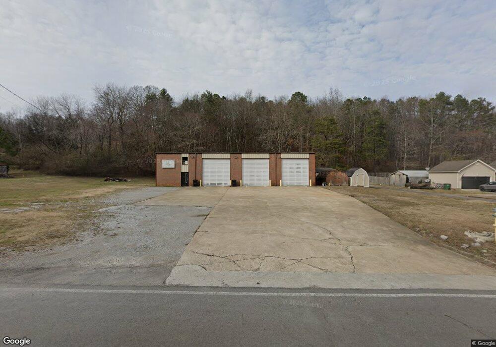
2001 Green Pond Rd Soddy Daisy, TN 37379
Estimated Value: $410,000 - $577,329
--
Bed
1
Bath
2,254
Sq Ft
$229/Sq Ft
Est. Value
About This Home
This home is located at 2001 Green Pond Rd, Soddy Daisy, TN 37379 and is currently estimated at $516,082, approximately $228 per square foot. 2001 Green Pond Rd is a home located in Hamilton County with nearby schools including Loftis Middle School.
Ownership History
Date
Name
Owned For
Owner Type
Purchase Details
Closed on
Feb 13, 2004
Sold by
Killough T W and Long Pamela S
Bought by
Morrow Charles C and Morrow Dawn S
Current Estimated Value
Home Financials for this Owner
Home Financials are based on the most recent Mortgage that was taken out on this home.
Original Mortgage
$26,155
Interest Rate
5.87%
Mortgage Type
Purchase Money Mortgage
Purchase Details
Closed on
Dec 30, 2002
Sold by
Killough T W and Killough Pamela S
Bought by
Redden Michael J and Redden Shannon
Home Financials for this Owner
Home Financials are based on the most recent Mortgage that was taken out on this home.
Original Mortgage
$102,960
Interest Rate
5.99%
Mortgage Type
Construction
Create a Home Valuation Report for This Property
The Home Valuation Report is an in-depth analysis detailing your home's value as well as a comparison with similar homes in the area
Home Values in the Area
Average Home Value in this Area
Purchase History
| Date | Buyer | Sale Price | Title Company |
|---|---|---|---|
| Morrow Charles C | $25,000 | -- | |
| Redden Michael J | $22,000 | First American Title Ins Co |
Source: Public Records
Mortgage History
| Date | Status | Borrower | Loan Amount |
|---|---|---|---|
| Closed | Morrow Charles C | $26,155 | |
| Previous Owner | Redden Michael J | $102,960 |
Source: Public Records
Tax History Compared to Growth
Tax History
| Year | Tax Paid | Tax Assessment Tax Assessment Total Assessment is a certain percentage of the fair market value that is determined by local assessors to be the total taxable value of land and additions on the property. | Land | Improvement |
|---|---|---|---|---|
| 2024 | $2,205 | $98,575 | $0 | $0 |
| 2023 | $2,214 | $98,575 | $0 | $0 |
| 2022 | $2,214 | $98,575 | $0 | $0 |
| 2021 | $2,214 | $98,575 | $0 | $0 |
| 2020 | $2,023 | $65,325 | $0 | $0 |
| 2019 | $1,815 | $65,325 | $0 | $0 |
| 2018 | $376 | $13,600 | $0 | $0 |
| 2017 | $1,855 | $66,750 | $0 | $0 |
| 2016 | $1,786 | $0 | $0 | $0 |
| 2015 | $1,737 | $64,250 | $0 | $0 |
| 2014 | $1,737 | $0 | $0 | $0 |
Source: Public Records
Map
Nearby Homes
- 10947 High River Dr
- 2110 Autumn River Dr
- 11036 High River Dr
- 11015 High River Dr
- 10224 Tommys Ln
- 10166 Hunters Hollow Dr
- 1524 Green Pond Rd
- 10160 Hunters Hollow Dr
- 1724 Magnum Ln
- 2338 Stonesage Rd
- 10496 Sovereign Pointe Dr
- 10041 Rolling Wind Dr
- 10627 Jeneva Ln
- 2033 Angler Dr
- 10105 Hixson Pike
- 9955 Rolling Wind Dr
- 2727 Thicket Rd
- 10428 Jeneva Ln
- 1230 Green Pond Rd
- 9901 Breeze Hill Ln
- 2009 Green Pond Rd
- 2031 Green Pond Rd
- 2017 Green Pond Rd
- 1927 Green Pond Rd
- 2039 Green Pond Rd
- 2045 Green Pond Rd
- 1996 Green Pond Rd
- 1917 Green Pond Rd
- 2083 Green Pond Rd
- 10708 Canyon Cir
- 2061 Green Pond Rd
- 2061 Green Pond Rd Unit 9
- 10708 Canyon Cir
- 1718 Smith Cemetery Rd
- 10727 Dodd Cemetery Rd
- 1913 Green Pond Rd
- 2069 Green Pond Rd
- 1722 Smith Cemetery Rd
- 1905 Green Pond Rd
- 2062 Green Pond Rd