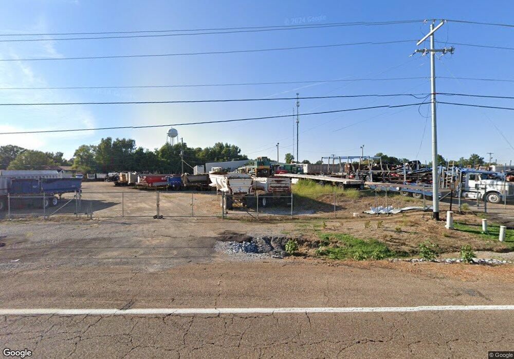
2001 Highway 51 S Covington, TN 38019
Estimated Value: $606,193
--
Bed
2
Baths
12,576
Sq Ft
$48/Sq Ft
Est. Value
About This Home
This home is located at 2001 Highway 51 S, Covington, TN 38019 and is currently estimated at $606,193, approximately $48 per square foot. 2001 Highway 51 S is a home located in Tipton County with nearby schools including Crestview Elementary School, Crestview Middle School, and Covington High School.
Ownership History
Date
Name
Owned For
Owner Type
Purchase Details
Closed on
Aug 9, 2016
Sold by
Timbs James
Bought by
Baskin Donald M
Current Estimated Value
Purchase Details
Closed on
Oct 5, 2015
Sold by
Tipton County Newspapers Inc
Bought by
Timbs James and Timbs Cyndi
Purchase Details
Closed on
Jun 12, 2002
Sold by
Covington Publishing Co
Bought by
Tipton County Newspapers L
Home Financials for this Owner
Home Financials are based on the most recent Mortgage that was taken out on this home.
Original Mortgage
$350,000
Interest Rate
6.86%
Mortgage Type
Commercial
Purchase Details
Closed on
Jan 8, 1970
Bought by
Covington Publishing Co
Purchase Details
Closed on
Jun 23, 1966
Create a Home Valuation Report for This Property
The Home Valuation Report is an in-depth analysis detailing your home's value as well as a comparison with similar homes in the area
Home Values in the Area
Average Home Value in this Area
Purchase History
| Date | Buyer | Sale Price | Title Company |
|---|---|---|---|
| Baskin Donald M | $275,000 | -- | |
| Timbs James | $250,000 | -- | |
| Tipton County Newspapers L | $350,000 | -- | |
| Covington Publishing Co | -- | -- | |
| -- | -- | -- |
Source: Public Records
Mortgage History
| Date | Status | Borrower | Loan Amount |
|---|---|---|---|
| Previous Owner | Not Available | $350,000 |
Source: Public Records
Tax History Compared to Growth
Tax History
| Year | Tax Paid | Tax Assessment Tax Assessment Total Assessment is a certain percentage of the fair market value that is determined by local assessors to be the total taxable value of land and additions on the property. | Land | Improvement |
|---|---|---|---|---|
| 2024 | $3,802 | $150,000 | $95,440 | $54,560 |
| 2023 | $2,283 | $150,000 | $95,440 | $54,560 |
| 2022 | $4,922 | $150,000 | $95,440 | $54,560 |
| 2021 | $4,922 | $150,000 | $95,440 | $54,560 |
| 2020 | $5,738 | $174,920 | $95,440 | $79,480 |
| 2019 | $6,088 | $162,360 | $95,440 | $66,920 |
| 2018 | $6,088 | $162,360 | $95,440 | $66,920 |
| 2017 | $6,088 | $162,360 | $95,440 | $66,920 |
| 2016 | $6,088 | $162,360 | $95,440 | $66,920 |
| 2015 | $6,083 | $162,360 | $95,440 | $66,920 |
| 2014 | $6,084 | $162,376 | $0 | $0 |
Source: Public Records
Map
Nearby Homes
- 1912 Kimbrough Dr
- 1553 Old Brighton Rd
- 190 Stacey Ln
- 474 Junior Dr
- 202 Holly Grove Rd
- 52 Stacey Ln
- 139 Melrose Rd
- 375 Mueller Brass Rd
- 0 Holly Grove Rd
- 104 Russwood Dr
- 0 Mueller Brass Rd
- 1679 Walton Loop
- 4501 Mueller Brass Rd Unit B
- 1329 Herring Dr
- 2847 Holly Grove Rd
- 518 James St
- 502 James Ave
- 714 W Sherrod Ave
- 417 Lennanwood Ave
- 65 Paulette Cir
- 1998 Highway 51 S
- 2043 U S 51
- 2043 Highway 51 S
- 1546 Christine Cove
- 1984 Highway 51 S
- 1535 Christine Cove
- 1603 Kimbrough Dr
- 2053 Highway 51 S
- 1609 Kimbrough Dr
- 1540 Christine Cove
- 1527 Christine Cove
- 1511 Christine Cove
- 1904 Kimbrough Dr
- 1532 Christine Cove
- 1897 Kimbrough Dr
- 1526 Christine Cove
- 1889 Kimbrough Dr
- 1512 Christine Cove
- 1880 Kimbrough Dr
- 1881 Kimbrough Dr