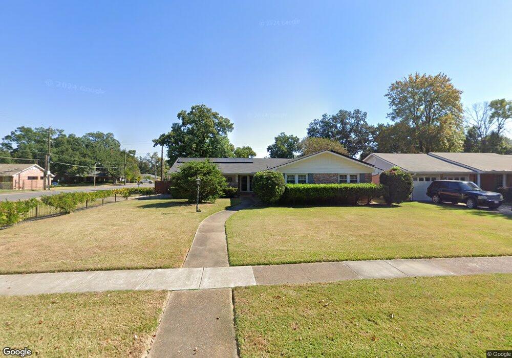
2001 Horton Ave Shreveport, LA 71105
Broadmoor/Anderson Island/Shreve Isle NeighborhoodEstimated Value: $211,000 - $225,000
3
Beds
2
Baths
1,820
Sq Ft
$119/Sq Ft
Est. Value
About This Home
This home is located at 2001 Horton Ave, Shreveport, LA 71105 and is currently estimated at $216,550, approximately $118 per square foot. 2001 Horton Ave is a home located in Caddo Parish with nearby schools including Fairfield Magnet School, Judson Fundamental Elementary School, and Eden Gardens Fundamental Elementary School.
Ownership History
Date
Name
Owned For
Owner Type
Purchase Details
Closed on
Oct 5, 2007
Sold by
Plub Jessie Lois Todd
Bought by
Amos Michael James and Amos Metari Putrissa
Current Estimated Value
Home Financials for this Owner
Home Financials are based on the most recent Mortgage that was taken out on this home.
Original Mortgage
$188,977
Outstanding Balance
$120,070
Interest Rate
6.55%
Mortgage Type
Purchase Money Mortgage
Estimated Equity
$96,480
Create a Home Valuation Report for This Property
The Home Valuation Report is an in-depth analysis detailing your home's value as well as a comparison with similar homes in the area
Home Values in the Area
Average Home Value in this Area
Purchase History
| Date | Buyer | Sale Price | Title Company |
|---|---|---|---|
| Amos Michael James | $185,000 | None Available |
Source: Public Records
Mortgage History
| Date | Status | Borrower | Loan Amount |
|---|---|---|---|
| Open | Amos Michael James | $188,977 |
Source: Public Records
Tax History Compared to Growth
Tax History
| Year | Tax Paid | Tax Assessment Tax Assessment Total Assessment is a certain percentage of the fair market value that is determined by local assessors to be the total taxable value of land and additions on the property. | Land | Improvement |
|---|---|---|---|---|
| 2024 | $1,815 | $11,640 | $2,122 | $9,518 |
| 2023 | $1,855 | $11,640 | $2,122 | $9,518 |
| 2022 | $1,855 | $11,640 | $2,122 | $9,518 |
| 2021 | $1,827 | $11,640 | $2,122 | $9,518 |
| 2020 | $1,827 | $11,640 | $2,122 | $9,518 |
| 2019 | $1,896 | $11,724 | $2,122 | $9,602 |
| 2018 | $544 | $11,724 | $2,122 | $9,602 |
| 2017 | $1,926 | $11,724 | $2,122 | $9,602 |
| 2015 | $525 | $11,550 | $2,120 | $9,430 |
| 2014 | $529 | $11,550 | $2,120 | $9,430 |
| 2013 | -- | $11,550 | $2,120 | $9,430 |
Source: Public Records
Map
Nearby Homes
- 1923 Bermuda St
- 2045 Horton Ave
- 1919 Audubon Place
- 2049 River Rd
- 1810 Captain Shreve Dr
- 2005 E Kings Hwy
- 2013 E Kings Hwy
- 636 Pelican Place
- 502 Mockingbird Ln
- 1836 Bryan Place
- 142 Lynn Ave
- 1615 Captain Shreve Dr
- 156 Charles Ave
- 5822 River Rd
- 306 Oriole Ln
- 1601 Captain Shreve Dr
- 5707 Anniston Ave
- 147 Pennsylvania Ave
- 163 Charles Ave
- 5737 Anniston Ave
- 2005 Horton Ave
- 2002 Bermuda St
- 2002 Bermuda St
- 2009 Horton Ave
- 2004 Bermuda St
- 1927 Horton Ave
- 1922 Bermuda St
- 2006 Bermuda St
- 2002 Horton Ave
- 2006 Horton Ave
- 2010 Horton Ave
- 2010 Bermuda St
- 1923 Horton Ave
- 1916 Bermuda St
- 1928 Horton Ave
- 2017 Horton Ave
- 2014 Horton Ave
- 2014 Bermuda St
- 2005 Bermuda St
- 1919 Horton Ave