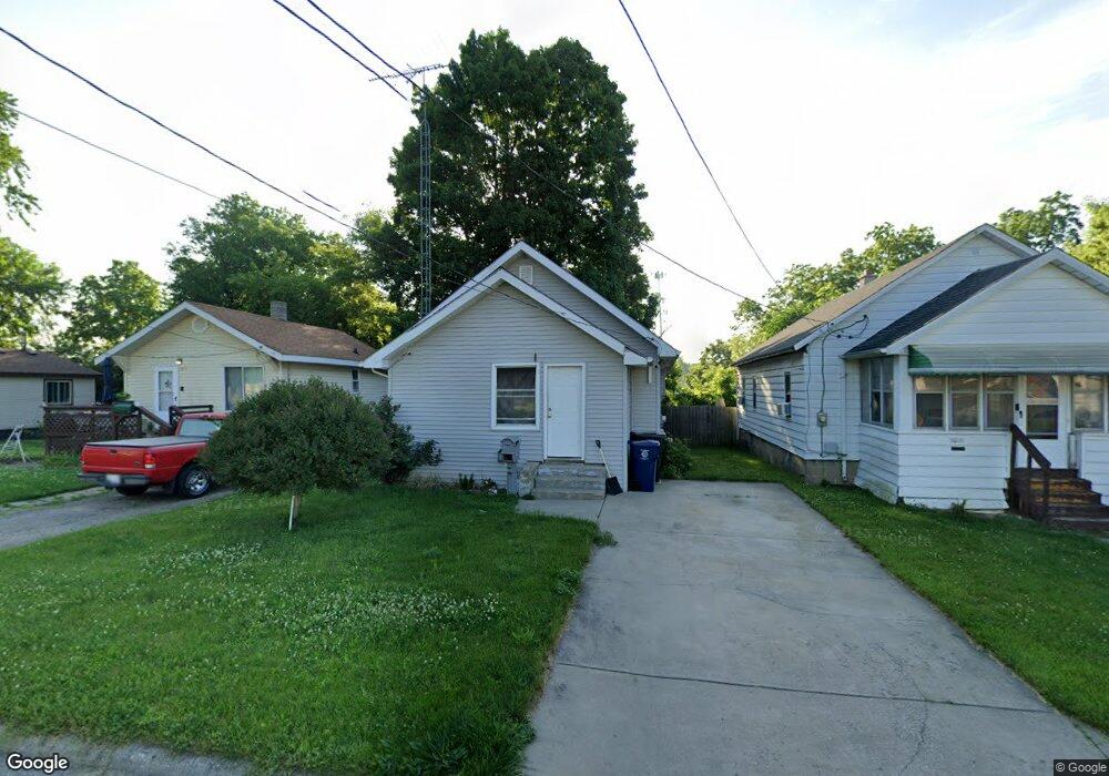
2001 Jarvis St Flint, MI 48507
South Side NeighborhoodEstimated Value: $34,000 - $48,000
2
Beds
1
Bath
788
Sq Ft
$53/Sq Ft
Est. Value
About This Home
This home is located at 2001 Jarvis St, Flint, MI 48507 and is currently estimated at $42,149, approximately $53 per square foot. 2001 Jarvis St is a home located in Genesee County with nearby schools including Eisenhower School, Flint Southwestern Classical Academy, and International Academy of Flint (K-12).
Ownership History
Date
Name
Owned For
Owner Type
Purchase Details
Closed on
Jul 23, 2002
Sold by
Reiley Elaine and Reiley Timothy S
Bought by
Reiley Dennis S and Reiley Elaine F
Current Estimated Value
Home Financials for this Owner
Home Financials are based on the most recent Mortgage that was taken out on this home.
Original Mortgage
$21,600
Interest Rate
6.91%
Purchase Details
Closed on
Jun 19, 2002
Sold by
Railey Elaine
Bought by
Reiley Tim S and Reiley Elaine F
Home Financials for this Owner
Home Financials are based on the most recent Mortgage that was taken out on this home.
Original Mortgage
$21,600
Interest Rate
6.91%
Create a Home Valuation Report for This Property
The Home Valuation Report is an in-depth analysis detailing your home's value as well as a comparison with similar homes in the area
Home Values in the Area
Average Home Value in this Area
Purchase History
| Date | Buyer | Sale Price | Title Company |
|---|---|---|---|
| Reiley Dennis S | -- | -- | |
| Reiley Tim S | -- | First American Title Ins Co |
Source: Public Records
Mortgage History
| Date | Status | Borrower | Loan Amount |
|---|---|---|---|
| Closed | Reiley Tim S | $21,600 |
Source: Public Records
Tax History Compared to Growth
Tax History
| Year | Tax Paid | Tax Assessment Tax Assessment Total Assessment is a certain percentage of the fair market value that is determined by local assessors to be the total taxable value of land and additions on the property. | Land | Improvement |
|---|---|---|---|---|
| 2025 | $541 | $11,600 | $0 | $0 |
| 2024 | $505 | $12,600 | $0 | $0 |
| 2023 | $505 | $11,200 | $0 | $0 |
| 2022 | $0 | $9,600 | $0 | $0 |
| 2021 | $515 | $7,200 | $0 | $0 |
| 2020 | $480 | $6,100 | $0 | $0 |
| 2019 | $478 | $5,500 | $0 | $0 |
| 2018 | $443 | $4,300 | $0 | $0 |
| 2017 | $461 | $0 | $0 | $0 |
| 2016 | $459 | $0 | $0 | $0 |
| 2015 | -- | $0 | $0 | $0 |
| 2014 | -- | $0 | $0 | $0 |
| 2012 | -- | $6,400 | $0 | $0 |
Source: Public Records
Map
Nearby Homes
- 1708 Fenton Rd
- 2021 Brooks St
- 943 Paddington Ave
- 942 Remington Ave
- 812 Remington Ave
- 842 Ossington Ave
- 647 Monroe St
- 639 Monroe St
- 930 Bloor Ave
- 517 Morley Ave
- 843 Ossington Ave
- 1511 Tacoma St
- 1517 Tacoma St
- 908 Barrie Ave
- 2314 S Grand Traverse St
- 909 Barrie Ave
- 839 Barrie Ave
- 734 Barrie Ave
- 839 SiMcOe Ave
- 741 Barrie Ave