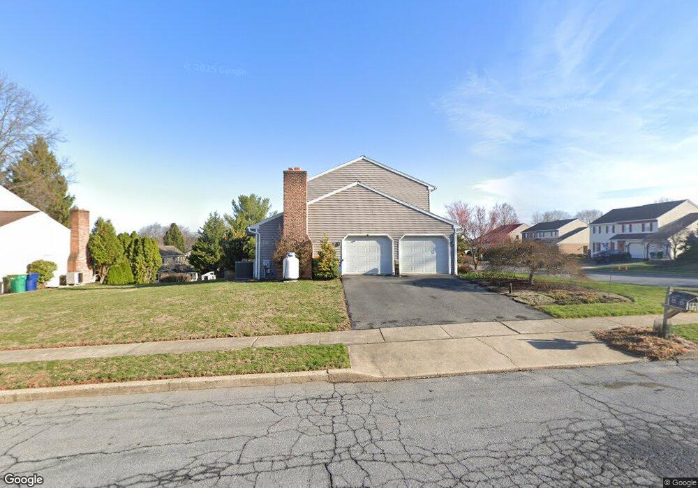
2001 Redwood Ave Reading, PA 19610
Whitfield NeighborhoodEstimated Value: $401,000 - $411,000
4
Beds
3
Baths
2,216
Sq Ft
$183/Sq Ft
Est. Value
About This Home
This home is located at 2001 Redwood Ave, Reading, PA 19610 and is currently estimated at $404,985, approximately $182 per square foot. 2001 Redwood Ave is a home located in Berks County with nearby schools including Spring Ridge Elementary School, Wilson West Middle School, and Wilson High School.
Ownership History
Date
Name
Owned For
Owner Type
Purchase Details
Closed on
Mar 25, 2021
Sold by
Bair Daniel E
Bought by
Bair Samuel E and Bair Daniel E
Current Estimated Value
Home Financials for this Owner
Home Financials are based on the most recent Mortgage that was taken out on this home.
Original Mortgage
$220,000
Outstanding Balance
$163,714
Interest Rate
2.9%
Mortgage Type
New Conventional
Estimated Equity
$241,271
Purchase Details
Closed on
Feb 22, 1996
Bought by
Bair Daniel E
Create a Home Valuation Report for This Property
The Home Valuation Report is an in-depth analysis detailing your home's value as well as a comparison with similar homes in the area
Home Values in the Area
Average Home Value in this Area
Purchase History
| Date | Buyer | Sale Price | Title Company |
|---|---|---|---|
| Bair Samuel E | -- | Edge Abstract | |
| Bair Daniel E | -- | -- |
Source: Public Records
Mortgage History
| Date | Status | Borrower | Loan Amount |
|---|---|---|---|
| Open | Bair Samuel E | $220,000 |
Source: Public Records
Tax History Compared to Growth
Tax History
| Year | Tax Paid | Tax Assessment Tax Assessment Total Assessment is a certain percentage of the fair market value that is determined by local assessors to be the total taxable value of land and additions on the property. | Land | Improvement |
|---|---|---|---|---|
| 2025 | $2,452 | $135,400 | $24,800 | $110,600 |
| 2024 | $5,793 | $135,400 | $24,800 | $110,600 |
| 2023 | $5,520 | $135,400 | $24,800 | $110,600 |
| 2022 | $5,384 | $135,400 | $24,800 | $110,600 |
| 2021 | $5,195 | $135,400 | $24,800 | $110,600 |
| 2020 | $5,195 | $135,400 | $24,800 | $110,600 |
| 2019 | $5,047 | $135,400 | $24,800 | $110,600 |
| 2018 | $5,004 | $135,400 | $24,800 | $110,600 |
| 2017 | $4,919 | $135,400 | $24,800 | $110,600 |
| 2016 | $1,583 | $135,400 | $24,800 | $110,600 |
| 2015 | $1,583 | $135,400 | $24,800 | $110,600 |
| 2014 | $1,583 | $135,400 | $24,800 | $110,600 |
Source: Public Records
Map
Nearby Homes
- 121 Grandview Blvd
- 125 Grandview Blvd
- 101 Robert Rd
- 802 Apple Dr
- 423 Woodside Ave
- 301 Warwick Dr
- 317 Warwick Dr
- 1914 Andre Ct
- 2021 Noble St
- 61 Grandview Blvd
- 2408 Noble St
- 2900 State Hill Rd Unit I12
- 2035 Franklin Place
- 2912 State Hill Rd Unit B-2
- 191 Hawthorne Ct Unit 191A
- 1 Wyomissing Hills Blvd
- 1812 Portland Ave
- 2152 Cleveland Ave
- 118 Laurel Ct Unit 118B
- 12 Vista Rd
- 702 Broadcasting Rd
- 2003 Redwood Ave
- 704 Broadcasting Rd
- 2000 Redwood Ave
- 2004 Apple Place
- 701 Broadcasting Rd
- 2002 Redwood Ave
- 2005 Redwood Ave
- 703 Broadcasting Rd
- 2006 Apple Place
- 2004 Redwood Ave
- 1914 Redwood Ave
- 705 Broadcasting Rd
- 706 Broadcasting Rd
- 2002 Apple Place
- 2007 Redwood Ave
- 110 Robert Rd
- 1905 Redwood Ave
- 2006 Redwood Ave
- 1912 Redwood Ave