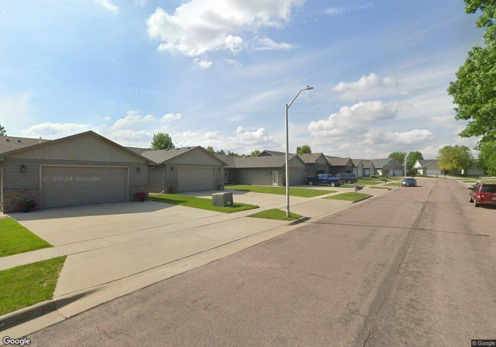
2001 S Wheatland Ct Sioux Falls, SD 57106
Northwest Sioux Falls NeighborhoodEstimated Value: $327,447 - $392,000
3
Beds
2
Baths
1,520
Sq Ft
$238/Sq Ft
Est. Value
About This Home
This home is located at 2001 S Wheatland Ct, Sioux Falls, SD 57106 and is currently estimated at $361,862, approximately $238 per square foot. 2001 S Wheatland Ct is a home located in Minnehaha County with nearby schools including Discovery Elementary School, Memorial Middle School, and Jefferson High School - 67.
Ownership History
Date
Name
Owned For
Owner Type
Purchase Details
Closed on
Jul 25, 2024
Sold by
Vansteenwyk James L and Vansteenwyk Van Steenwyk
Bought by
Vansteenwyk James L and Vansteenwyk Van Steenwyk
Current Estimated Value
Purchase Details
Closed on
Apr 4, 2014
Sold by
Travis Travis and Laqua Jennifer N
Bought by
Vansteenwyk James L and Vansteenwyk Margaret K
Home Financials for this Owner
Home Financials are based on the most recent Mortgage that was taken out on this home.
Original Mortgage
$21,000
Interest Rate
4.31%
Mortgage Type
Future Advance Clause Open End Mortgage
Create a Home Valuation Report for This Property
The Home Valuation Report is an in-depth analysis detailing your home's value as well as a comparison with similar homes in the area
Home Values in the Area
Average Home Value in this Area
Purchase History
| Date | Buyer | Sale Price | Title Company |
|---|---|---|---|
| Vansteenwyk James L | -- | -- | |
| Vansteenwyk James L | $189,900 | Getty Abstract & Title Comp |
Source: Public Records
Mortgage History
| Date | Status | Borrower | Loan Amount |
|---|---|---|---|
| Previous Owner | Vansteenwyk James L | $21,000 | |
| Previous Owner | Vansteenwyk James L | $115,000 |
Source: Public Records
Tax History Compared to Growth
Tax History
| Year | Tax Paid | Tax Assessment Tax Assessment Total Assessment is a certain percentage of the fair market value that is determined by local assessors to be the total taxable value of land and additions on the property. | Land | Improvement |
|---|---|---|---|---|
| 2024 | $3,573 | $263,400 | $34,700 | $228,700 |
| 2023 | $3,463 | $245,700 | $30,400 | $215,300 |
| 2022 | $3,448 | $231,000 | $30,400 | $200,600 |
| 2021 | $2,621 | $181,900 | $0 | $0 |
| 2020 | $2,621 | $167,200 | $0 | $0 |
| 2019 | $2,746 | $172,601 | $0 | $0 |
| 2018 | $2,472 | $162,366 | $0 | $0 |
| 2017 | $2,467 | $155,863 | $25,341 | $130,522 |
| 2016 | $2,467 | $155,803 | $25,341 | $130,462 |
| 2015 | $2,559 | $155,701 | $24,007 | $131,694 |
| 2014 | -- | $155,197 | $23,523 | $131,674 |
Source: Public Records
Map
Nearby Homes
- 0 S Ellis Rd
- 8708 W Norma Trail
- 8105 W 24th St
- 8113 W 24th St
- 8101 W 24th St
- 8812 W Norma Trail
- 1604 S Kinderhook Ave
- 1612 S Meadowland Ave
- 1501 S Wheatland Ave
- 1516 S Kathryn Ave
- 1512 S Kathryn Ave
- 1517 S Kathryn Ave
- 8901 W 32nd St Unit 6
- 1508 S Kathryn Ave
- 1315 S President Ct
- 1500 S Kathryn Ave
- 1917 S Grinnell Ave
- 1405 S Maria Ave
- 8808 W 22nd St
- 1504 S Gill Ave
- 1923 S Wheatland Ct
- 2003 S Wheatland Ct
- 1921 S Wheatland Ct
- 1919 S Wheatland Ct
- 2007 S Wheatland Ct
- 2009 S Wheatland Ct
- 1917 S Wheatland Ct
- 1920 S Wheatland Ct
- 2004 S Wheatland Ct
- 2008 S Wheatland Ave
- 2011 S Wheatland Ct
- 2002 S Barret Place
- 2006 S Barret Place
- 2010 S Barret Place Unit 46
- 2008 S Wheatland Ct
- 1915 S Wheatland Ct
- 2000 S Barret Place
- 1912 S Wheatland Ct
- 2008 S Barret Place
- 2004 S Barret Place