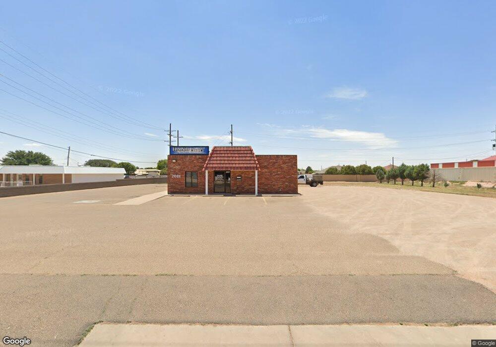
2001 W 21st St Clovis, NM 88101
Estimated Value: $378,000
1
Bed
1
Bath
1,200
Sq Ft
$315/Sq Ft
Est. Value
About This Home
This home is located at 2001 W 21st St, Clovis, NM 88101 and is currently estimated at $378,000, approximately $315 per square foot. 2001 W 21st St is a home located in Curry County with nearby schools including Cameo Elementary School, WD Gattis Middle School, and Clovis High School.
Ownership History
Date
Name
Owned For
Owner Type
Purchase Details
Closed on
Oct 26, 2018
Sold by
Rehoboth Properties Llc
Bought by
Gordon Hand Aloha D
Current Estimated Value
Home Financials for this Owner
Home Financials are based on the most recent Mortgage that was taken out on this home.
Original Mortgage
$350,000
Outstanding Balance
$121,618
Interest Rate
5.25%
Mortgage Type
New Conventional
Estimated Equity
$256,382
Create a Home Valuation Report for This Property
The Home Valuation Report is an in-depth analysis detailing your home's value as well as a comparison with similar homes in the area
Purchase History
| Date | Buyer | Sale Price | Title Company |
|---|---|---|---|
| Gordon Hand Aloha D | $437,500 | Landmark Title |
Source: Public Records
Mortgage History
| Date | Status | Borrower | Loan Amount |
|---|---|---|---|
| Open | Gordon Hand Aloha D | $350,000 |
Source: Public Records
Tax History
| Year | Tax Paid | Tax Assessment Tax Assessment Total Assessment is a certain percentage of the fair market value that is determined by local assessors to be the total taxable value of land and additions on the property. | Land | Improvement |
|---|---|---|---|---|
| 2025 | $1,664 | $72,011 | $5,950 | $66,061 |
| 2024 | $1,664 | $68,866 | $5,950 | $62,916 |
| 2023 | $1,661 | $65,870 | $5,950 | $59,920 |
| 2022 | $1,601 | $63,017 | $5,950 | $57,067 |
| 2021 | $1,538 | $63,017 | $5,950 | $57,067 |
| 2020 | $1,425 | $58,390 | $5,950 | $52,440 |
| 2019 | $1,408 | $57,743 | $5,950 | $51,793 |
| 2018 | $1,350 | $55,277 | $5,950 | $49,327 |
| 2017 | $1,219 | $52,929 | $5,950 | $46,979 |
| 2016 | $1,219 | $50,692 | $5,950 | $44,742 |
| 2015 | $1,186 | $48,562 | $5,950 | $42,612 |
| 2014 | $1,193 | $48,832 | $6,220 | $42,612 |
Source: Public Records
Map
Nearby Homes
- 4501 W 21st St
- 305 Merrill Dr
- 914 W 21st St
- 409 Merrill Dr
- 2201 W 21st St
- 1817 Martin Luther King Junior Blvd
- 417 Merrill Dr
- 568 La Salle Dr
- 2205 Moberly Dr
- 112 Calle de Oro
- 112 Merrill Dr
- 708 Starlite Dr
- 609 Starlite Dr
- 2301 Echols Ave
- 105 Sombrero
- 305 Starlite Dr
- 216 Rosa Blvd
- 1704 Laura Ln
- 1648 W 60 84 Hwy
- 1621 Cameo St
- 504 La Salle Dr
- 500 La Salle Dr
- 508 La Salle Dr
- 432 La Salle Dr
- 1916 W 21st St
- 512 La Salle Dr
- 1928 W 21st St
- 428 La Salle Dr
- 516 La Salle Dr
- 424 La Salle Dr
- 321 Merrill Dr
- 1933 Franklin Dr
- 520 La Salle Dr
- 400 Merrill Dr
- 1924 21st
- 2012 Kent Place
- 317 Merrill Dr
- 420 La Salle Dr
- 1928 Franklin Dr
- 313 Merrill Dr
Your Personal Tour Guide
Ask me questions while you tour the home.