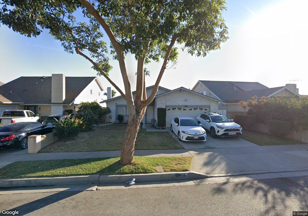
20014 Mapes Ave Cerritos, CA 90703
Estimated Value: $884,429 - $1,032,000
3
Beds
2
Baths
1,405
Sq Ft
$697/Sq Ft
Est. Value
About This Home
This home is located at 20014 Mapes Ave, Cerritos, CA 90703 and is currently estimated at $979,107, approximately $696 per square foot. 20014 Mapes Ave is a home located in Los Angeles County with nearby schools including Bragg Elementary School, Haskell Stem Academy, and Gahr High School.
Ownership History
Date
Name
Owned For
Owner Type
Purchase Details
Closed on
Nov 23, 2010
Sold by
Gregorio Francisco Z
Bought by
Gregorio Francisco Z and The Francisco Z Gregorio Famil
Current Estimated Value
Purchase Details
Closed on
Feb 11, 2009
Sold by
Gregorio Francisco Z
Bought by
Gregorio Francisco Z
Home Financials for this Owner
Home Financials are based on the most recent Mortgage that was taken out on this home.
Original Mortgage
$135,000
Interest Rate
4.92%
Mortgage Type
New Conventional
Create a Home Valuation Report for This Property
The Home Valuation Report is an in-depth analysis detailing your home's value as well as a comparison with similar homes in the area
Home Values in the Area
Average Home Value in this Area
Purchase History
| Date | Buyer | Sale Price | Title Company |
|---|---|---|---|
| Gregorio Francisco Z | -- | None Available | |
| Gregorio Francisco Z | -- | Ticor Title Tustin Orange Co |
Source: Public Records
Mortgage History
| Date | Status | Borrower | Loan Amount |
|---|---|---|---|
| Closed | Gregorio Francisco Z | $135,000 |
Source: Public Records
Tax History
| Year | Tax Paid | Tax Assessment Tax Assessment Total Assessment is a certain percentage of the fair market value that is determined by local assessors to be the total taxable value of land and additions on the property. | Land | Improvement |
|---|---|---|---|---|
| 2025 | $2,289 | $160,511 | $69,976 | $90,535 |
| 2024 | $2,289 | $157,364 | $68,604 | $88,760 |
| 2023 | $2,223 | $154,279 | $67,259 | $87,020 |
| 2022 | $2,188 | $151,255 | $65,941 | $85,314 |
| 2021 | $2,135 | $148,291 | $64,649 | $83,642 |
| 2019 | $2,088 | $143,895 | $62,733 | $81,162 |
| 2018 | $1,900 | $141,074 | $61,503 | $79,571 |
| 2016 | $1,811 | $135,598 | $59,116 | $76,482 |
| 2015 | $1,789 | $133,563 | $58,229 | $75,334 |
| 2014 | $1,764 | $130,948 | $57,089 | $73,859 |
Source: Public Records
Map
Nearby Homes
- 11248 Bertha St
- 19616 Mapes Ave
- 11524 Jerry St
- 11518 205th St
- 20020 Alburtis Ave
- 11702 Christy St
- 20721 Roseton Ave
- 11609 208th St
- 4930 Mamie Ave
- 20709 Alburtis Ave
- 19202 Benfield Ave
- 19127 Allingham Ave
- 21005 Longworth Ave
- 4512 Ostrom Ave
- 5209 Knoxville Ave
- 6530 Denmead St
- 20802 Pioneer Blvd
- 19127 Pioneer Blvd Unit 76
- 19127 Pioneer Blvd Unit 9
- 19127 Pioneer Blvd Unit 73
- 20008 Mapes Ave
- 20020 Mapes Ave
- 20002 Mapes Ave
- 20028 Mapes Ave
- 20013 Harvest Way
- 20009 Harvest Way
- 20019 Harvest Way
- 20003 Harvest Way
- 19944 Mapes Ave
- 20102 Mapes Ave
- 20013 Mapes Ave
- 20009 Mapes Ave
- 20017 Mapes Ave
- 19947 Harvest Way
- 20103 Harvest Way
- 20023 Mapes Ave
- 20003 Mapes Ave
- 19938 Mapes Ave
- 20108 Mapes Ave
- 20027 Mapes Ave
Your Personal Tour Guide
Ask me questions while you tour the home.