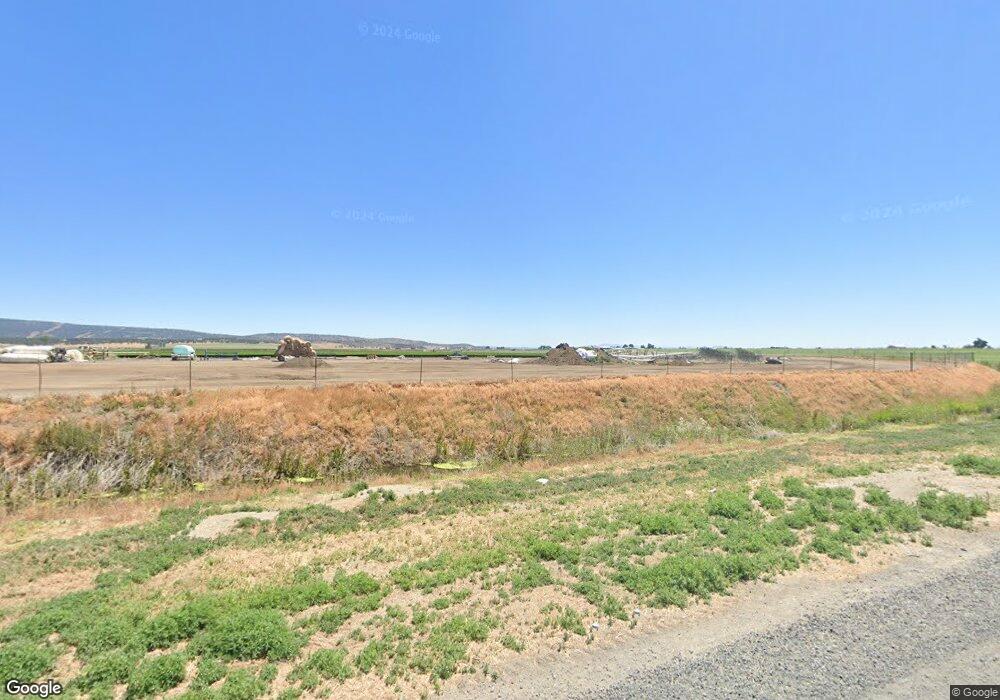
20015 Hill Rd Merrill, OR 97633
Estimated Value: $434,000
4
Beds
2
Baths
1,915
Sq Ft
$227/Sq Ft
Est. Value
About This Home
This home is located at 20015 Hill Rd, Merrill, OR 97633 and is currently estimated at $434,000, approximately $226 per square foot. 20015 Hill Rd is a home with nearby schools including Merrill Elementary School and Lost River High School.
Ownership History
Date
Name
Owned For
Owner Type
Purchase Details
Closed on
Jun 10, 2022
Sold by
Parks Timothy C
Bought by
Ogrady Chandler Standish
Current Estimated Value
Home Financials for this Owner
Home Financials are based on the most recent Mortgage that was taken out on this home.
Original Mortgage
$351,500
Outstanding Balance
$334,337
Interest Rate
5.23%
Mortgage Type
New Conventional
Estimated Equity
$99,663
Purchase Details
Closed on
Jul 26, 2021
Sold by
Steve And Nancy Kandra Family Trust
Bought by
Parks Timothy C and Parks Darla D
Purchase Details
Closed on
Sep 9, 2008
Sold by
Rheem Nancy D and Kandra Steven L
Bought by
Kandra Steven L and Kandra Nancy L
Create a Home Valuation Report for This Property
The Home Valuation Report is an in-depth analysis detailing your home's value as well as a comparison with similar homes in the area
Home Values in the Area
Average Home Value in this Area
Purchase History
| Date | Buyer | Sale Price | Title Company |
|---|---|---|---|
| Ogrady Chandler Standish | $370,000 | Amerititle | |
| Parks Timothy C | $525,000 | Amerititle | |
| Kandra Steven L | -- | None Available |
Source: Public Records
Mortgage History
| Date | Status | Borrower | Loan Amount |
|---|---|---|---|
| Open | Ogrady Chandler Standish | $351,500 |
Source: Public Records
Tax History Compared to Growth
Tax History
| Year | Tax Paid | Tax Assessment Tax Assessment Total Assessment is a certain percentage of the fair market value that is determined by local assessors to be the total taxable value of land and additions on the property. | Land | Improvement |
|---|---|---|---|---|
| 2024 | $1,364 | $143,060 | -- | -- |
| 2023 | $1,457 | $151,200 | $0 | $0 |
| 2022 | $1,771 | $142,531 | $0 | $0 |
| 2021 | $1,254 | $126,378 | $0 | $0 |
| 2020 | $1,257 | $126,945 | $0 | $0 |
| 2019 | $1,309 | $131,862 | $0 | $0 |
| 2018 | $1,137 | $120,640 | $0 | $0 |
| 2017 | $1,109 | $117,190 | $0 | $0 |
| 2016 | $1,143 | $113,970 | $0 | $0 |
| 2015 | $1,014 | $101,170 | $0 | $0 |
| 2014 | $953 | $96,560 | $0 | $0 |
| 2013 | -- | $135,250 | $0 | $0 |
Source: Public Records
Map
Nearby Homes
- 424 N Garfield St
- 428 N Polk St
- 226 W 2nd St
- 217 N Washington St
- 330 N Elm St Unit Parcel 2
- 638 E 1st St
- 425 W 1st St
- 0 Oregon 39 Unit Lot 2 220203560
- 0 Oregon 39 Unit 1100
- 0 Oregon 39 Unit 220168688
- 18610 Taylor Rd
- 17356 Hill Rd
- 0 Dodds Hollow Rd Unit 895073 220200218
- 10580 Buesing Rd
- 10145 Matney Way
- 9452 Matney Way
- 22990 Highway 50
- 11445 Hill Rd
- 4000 Lower Klamath Lake Rd
- 20954 S Poe Valley Rd
- 19696 Hill Rd
- 15331 Anderson Rd
- 15005 Anderson Rd
- 15777 Anderson Rd
- 14889 Anderson Rd
- 4100 Anderson
- 19140 Hill Rd
- 14606 Anderson Rd
- 0 Taylor Rd Unit 100158418
- 0 Taylor Rd Unit 102987853
- 21396 Hill Rd
- 20535 Highway 39
- 20535 Hwy 39
- 18809 Hill Rd
- 20535 Highway 39
- 10909 Stateline Rd
- 20215 Adams Point Rd
- 18809 Hill Rd
- 6000 Hill Rd
- 1300 Anderson Rd
