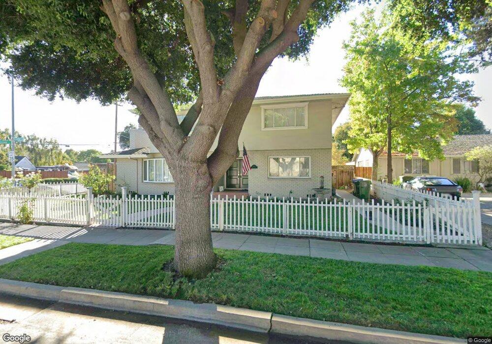
2002 Emory St San Jose, CA 95128
Bascom-Forest NeighborhoodEstimated Value: $2,462,000 - $2,766,840
5
Beds
3
Baths
3,000
Sq Ft
$874/Sq Ft
Est. Value
About This Home
This home is located at 2002 Emory St, San Jose, CA 95128 and is currently estimated at $2,623,460, approximately $874 per square foot. 2002 Emory St is a home located in Santa Clara County with nearby schools including Merritt Trace Elementary, Herbert Hoover Middle School, and Abraham Lincoln High.
Ownership History
Date
Name
Owned For
Owner Type
Purchase Details
Closed on
Jul 21, 2025
Sold by
Mclean Herbert A and Mclean Susan E
Bought by
Mclean Family Trust and Mclean
Current Estimated Value
Purchase Details
Closed on
Aug 10, 2001
Sold by
Defillo Robert and Defillo Kathleen L
Bought by
Mclean Herbert A and Mclean Susan E
Home Financials for this Owner
Home Financials are based on the most recent Mortgage that was taken out on this home.
Original Mortgage
$677,750
Interest Rate
7.19%
Purchase Details
Closed on
Jul 14, 1997
Sold by
Trouard Robert L and Trouard Joan G
Bought by
Defillo Robert and Defillo Kathleen L
Home Financials for this Owner
Home Financials are based on the most recent Mortgage that was taken out on this home.
Original Mortgage
$200,000
Interest Rate
7.83%
Create a Home Valuation Report for This Property
The Home Valuation Report is an in-depth analysis detailing your home's value as well as a comparison with similar homes in the area
Home Values in the Area
Average Home Value in this Area
Purchase History
| Date | Buyer | Sale Price | Title Company |
|---|---|---|---|
| Mclean Family Trust | -- | None Listed On Document | |
| Mclean Herbert A | $915,000 | Chicago Title Co | |
| Defillo Robert | $489,000 | North American Title Co |
Source: Public Records
Mortgage History
| Date | Status | Borrower | Loan Amount |
|---|---|---|---|
| Previous Owner | Mclean Herbert A | $677,750 | |
| Previous Owner | Defillo Robert | $200,000 | |
| Closed | Mclean Herbert A | $100,000 |
Source: Public Records
Tax History
| Year | Tax Paid | Tax Assessment Tax Assessment Total Assessment is a certain percentage of the fair market value that is determined by local assessors to be the total taxable value of land and additions on the property. | Land | Improvement |
|---|---|---|---|---|
| 2025 | $16,879 | $1,351,708 | $299,878 | $1,051,830 |
| 2024 | $16,879 | $1,325,205 | $293,999 | $1,031,206 |
| 2023 | $16,575 | $1,299,222 | $288,235 | $1,010,987 |
| 2022 | $16,421 | $1,273,748 | $282,584 | $991,164 |
| 2021 | $16,108 | $1,248,774 | $277,044 | $971,730 |
| 2020 | $15,766 | $1,235,971 | $274,204 | $961,767 |
| 2019 | $15,440 | $1,211,737 | $268,828 | $942,909 |
| 2018 | $15,296 | $1,187,978 | $263,557 | $924,421 |
| 2017 | $15,181 | $1,164,686 | $258,390 | $906,296 |
| 2016 | $14,968 | $1,141,850 | $253,324 | $888,526 |
| 2015 | $14,879 | $1,124,699 | $249,519 | $875,180 |
| 2014 | $14,340 | $1,102,669 | $244,632 | $858,037 |
Source: Public Records
Map
Nearby Homes
- 2469 Olive Ave
- 139 Brooklyn Ave
- 1915 Bel Air Ave
- 2167 Emory St
- 2141 Bel Air Ave
- 2501 Bailey Ave
- 0 N Bascom Ave
- 1935 Walnut Grove Ave
- 330 Arleta Ave
- 2004 Cherrystone Dr
- 1525 Mckendrie St
- 1830 Heatherdale Ave
- 354 Irving Ave
- 418 Vaughn Ave Unit 1 & 2
- 407 Raymond Ave
- 1555 Calaveras Ave
- 1490 Davis St
- 1915 Heatherdale Ave
- 1828 W San Carlos St
- 2306 Peachtree Ln
- 2008 Emory St
- 675 N Bascom Ave
- 2014 Emory St
- 1990 Emory St
- 637 N Bascom Ave
- 701 N Bascom Ave
- 2011 Emory St
- 2009 Mcdaniel Ave
- 1997 Mcdaniel Ave
- 1974 Emory St
- 2020 Emory St
- 2017 Emory St
- 1969 Mcdaniel Ave
- 2019 Mcdaniel Ave
- 1975 Emory St
- 2023 Emory St
- 1955 Mcdaniel Ave
- 1960 Emory St
- 2025 Mcdaniel Ave
- 1941 Mcdaniel Ave
Your Personal Tour Guide
Ask me questions while you tour the home.