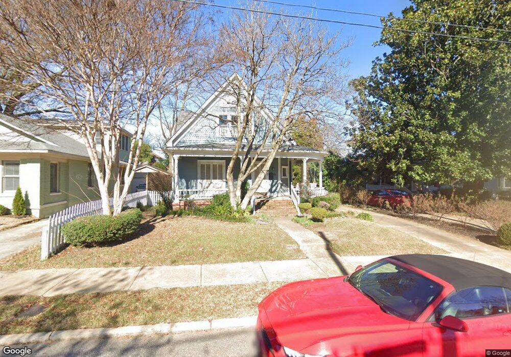
2002 Linden Ave Memphis, TN 38104
Cooper-Young NeighborhoodEstimated Value: $359,784 - $485,000
4
Beds
2
Baths
3,435
Sq Ft
$117/Sq Ft
Est. Value
About This Home
This home is located at 2002 Linden Ave, Memphis, TN 38104 and is currently estimated at $401,696, approximately $116 per square foot. 2002 Linden Ave is a home located in Shelby County with nearby schools including Idlewild Elementary School, Central High School, and Compass Community School Midtown Campus.
Ownership History
Date
Name
Owned For
Owner Type
Purchase Details
Closed on
May 21, 1999
Sold by
Murphy Paul D and Murphy L
Bought by
Benton Mary E
Current Estimated Value
Home Financials for this Owner
Home Financials are based on the most recent Mortgage that was taken out on this home.
Original Mortgage
$176,500
Outstanding Balance
$44,850
Interest Rate
6.84%
Estimated Equity
$356,846
Create a Home Valuation Report for This Property
The Home Valuation Report is an in-depth analysis detailing your home's value as well as a comparison with similar homes in the area
Home Values in the Area
Average Home Value in this Area
Purchase History
| Date | Buyer | Sale Price | Title Company |
|---|---|---|---|
| Benton Mary E | $182,000 | -- |
Source: Public Records
Mortgage History
| Date | Status | Borrower | Loan Amount |
|---|---|---|---|
| Open | Benton Mary E | $176,500 |
Source: Public Records
Tax History Compared to Growth
Tax History
| Year | Tax Paid | Tax Assessment Tax Assessment Total Assessment is a certain percentage of the fair market value that is determined by local assessors to be the total taxable value of land and additions on the property. | Land | Improvement |
|---|---|---|---|---|
| 2025 | -- | $92,050 | $22,525 | $69,525 |
| 2024 | $3,450 | $101,775 | $17,150 | $84,625 |
| 2023 | $6,200 | $101,775 | $17,150 | $84,625 |
| 2022 | $6,200 | $101,775 | $17,150 | $84,625 |
| 2021 | $6,272 | $101,775 | $17,150 | $84,625 |
| 2020 | $5,438 | $75,050 | $17,150 | $57,900 |
| 2019 | $5,438 | $75,050 | $17,150 | $57,900 |
| 2018 | $5,438 | $75,050 | $17,150 | $57,900 |
| 2017 | $3,085 | $75,050 | $17,150 | $57,900 |
| 2016 | $2,658 | $60,825 | $0 | $0 |
| 2014 | $2,658 | $60,825 | $0 | $0 |
Source: Public Records
Map
Nearby Homes
- 2046 Courtland Place
- 1947 Linden Ave
- 1999 Peabody Ave
- 31 S Morrison St
- 2092 Linden Ave
- 2065 Peabody Ave
- 2096 Linden Ave
- 2060 Carr Ave
- 2080 Vinton Ave
- 1870 Peabody Green Dr
- 1971 Vinton Ave
- 28 S Barksdale St
- 506 Peabody Square Unit 506
- 210 S Mclean Blvd
- 210 S Mclean Blvd Unit 1
- 210 S Mclean Blvd Unit 12
- 258 S Mclean Blvd
- 2086 Harbert Ave
- 2113 Vinton Ave
- 2092 Harbert Ave
- 2008 Linden Ave
- 1996 Linden Ave
- 186 S Rembert St
- 2010 Linden Ave
- 1992 Linden Ave
- 182 S Rembert St
- 2018 Linden Ave
- 172 S Rembert St
- 2022 Linden Ave
- 2001 Linden Ave
- 1999 Linden Ave
- 1993 Linden Ave
- 2015 Linden Ave
- 189 S Rembert St
- 185 S Rembert St
- 2026 Linden Ave
- 193 S Rembert St
- 179 S Rembert St
- 195 S Rembert St
- 175 S Rembert St