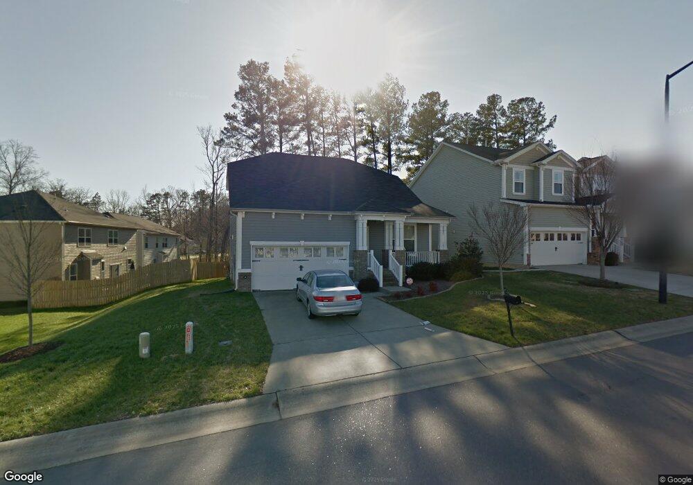
2002 Pear Tree Ln Durham, NC 27703
South Durham NeighborhoodEstimated Value: $430,000 - $458,000
3
Beds
3
Baths
2,240
Sq Ft
$197/Sq Ft
Est. Value
About This Home
This home is located at 2002 Pear Tree Ln, Durham, NC 27703 and is currently estimated at $440,797, approximately $196 per square foot. 2002 Pear Tree Ln is a home located in Durham County with nearby schools including R.N. Harris Elementary School, James E. Shepard Middle School, and Hillside High School.
Ownership History
Date
Name
Owned For
Owner Type
Purchase Details
Closed on
Dec 31, 2008
Sold by
Beazer Homes Corp
Bought by
Horton Benny R
Current Estimated Value
Home Financials for this Owner
Home Financials are based on the most recent Mortgage that was taken out on this home.
Original Mortgage
$210,326
Outstanding Balance
$138,381
Interest Rate
5.96%
Mortgage Type
VA
Estimated Equity
$302,416
Create a Home Valuation Report for This Property
The Home Valuation Report is an in-depth analysis detailing your home's value as well as a comparison with similar homes in the area
Home Values in the Area
Average Home Value in this Area
Purchase History
| Date | Buyer | Sale Price | Title Company |
|---|---|---|---|
| Horton Benny R | $206,000 | None Available |
Source: Public Records
Mortgage History
| Date | Status | Borrower | Loan Amount |
|---|---|---|---|
| Open | Horton Benny R | $210,326 |
Source: Public Records
Tax History
| Year | Tax Paid | Tax Assessment Tax Assessment Total Assessment is a certain percentage of the fair market value that is determined by local assessors to be the total taxable value of land and additions on the property. | Land | Improvement |
|---|---|---|---|---|
| 2025 | $4,459 | $449,837 | $84,750 | $365,087 |
| 2024 | $3,363 | $241,070 | $47,982 | $193,088 |
| 2023 | $3,158 | $241,070 | $47,982 | $193,088 |
| 2022 | $3,085 | $241,070 | $47,982 | $193,088 |
| 2021 | $3,071 | $241,070 | $47,982 | $193,088 |
| 2020 | $2,999 | $241,070 | $47,982 | $193,088 |
| 2019 | $2,999 | $241,070 | $47,982 | $193,088 |
| 2018 | $2,997 | $220,946 | $39,515 | $181,431 |
| 2017 | $2,975 | $220,946 | $39,515 | $181,431 |
| 2016 | $2,875 | $220,946 | $39,515 | $181,431 |
| 2015 | $2,462 | $177,884 | $42,026 | $135,858 |
| 2014 | $2,462 | $177,884 | $42,026 | $135,858 |
Source: Public Records
Map
Nearby Homes
- 2638 S Alston Ave
- 2605 Magnolia Tree Ln
- 1912 So Hi Dr
- 52 Holly Berry Ln
- 204 Garden Walk Dr
- 229 Zante Currant Rd
- 2010 Eastwood Dr
- 2458 S Alston Ave
- 1674 Snowmass Way
- 1218 Helms St
- 1220 Helms St
- 1222 Helms St
- 2717 Wyntercrest Ln
- 1224 Helms St
- 1226 Helms St
- 1135 Longitude Dr
- 1108 Nova St
- 1100 Nova St
- 3305 Delmar Dr
- 3303 Delmar Dr
- 1914 Pear Tree Ln
- 4 White Spruce Ct
- 1910 Pear Tree Ln
- 6 White Spruce Ct
- 2805 Magnolia Tree Ln
- 1912 Pear Tree Ln
- 1906 Pear Tree Ln
- 2005 Pear Tree Ln
- 2803 Magnolia Tree Ln
- 1909 Pear Tree Ln
- 5 White Spruce Ct
- 3 White Spruce Ct
- 1902 Pear Tree Ln
- 1 White Spruce Ct
- 2101 Pear Tree Ln
- 1905 Pear Tree Ln
- 2802 Magnolia Tree Ln
- 2801 Magnolia Tree Ln
- 16 White Spruce Ct
- 1824 Pear Tree Ln
Your Personal Tour Guide
Ask me questions while you tour the home.