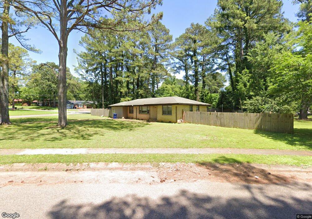
2002 Shady Lane Dr NW Huntsville, AL 35810
Mastin Lake Park NeighborhoodEstimated Value: $125,661 - $198,000
--
Bed
--
Bath
1,257
Sq Ft
$123/Sq Ft
Est. Value
About This Home
This home is located at 2002 Shady Lane Dr NW, Huntsville, AL 35810 and is currently estimated at $154,665, approximately $123 per square foot. 2002 Shady Lane Dr NW is a home with nearby schools including Highlands Elementary School, Ronald E. McNair Junior High School, and Jemison High School.
Ownership History
Date
Name
Owned For
Owner Type
Purchase Details
Closed on
Oct 25, 2018
Sold by
Williams Martha H and Feld Martha H
Bought by
Puckett Apartments Llc
Current Estimated Value
Home Financials for this Owner
Home Financials are based on the most recent Mortgage that was taken out on this home.
Original Mortgage
$60,000
Outstanding Balance
$52,541
Interest Rate
4.6%
Mortgage Type
Seller Take Back
Estimated Equity
$102,124
Create a Home Valuation Report for This Property
The Home Valuation Report is an in-depth analysis detailing your home's value as well as a comparison with similar homes in the area
Home Values in the Area
Average Home Value in this Area
Purchase History
| Date | Buyer | Sale Price | Title Company |
|---|---|---|---|
| Puckett Apartments Llc | $60,000 | None Available |
Source: Public Records
Mortgage History
| Date | Status | Borrower | Loan Amount |
|---|---|---|---|
| Open | Puckett Apartments Llc | $60,000 |
Source: Public Records
Tax History Compared to Growth
Tax History
| Year | Tax Paid | Tax Assessment Tax Assessment Total Assessment is a certain percentage of the fair market value that is determined by local assessors to be the total taxable value of land and additions on the property. | Land | Improvement |
|---|---|---|---|---|
| 2024 | $1,082 | $17,440 | $3,680 | $13,760 |
| 2023 | $1,012 | $17,440 | $3,680 | $13,760 |
| 2022 | $913 | $15,740 | $3,680 | $12,060 |
| 2021 | $733 | $12,640 | $1,840 | $10,800 |
| 2020 | $704 | $11,940 | $1,840 | $10,100 |
| 2019 | $283 | $5,680 | $1,030 | $4,650 |
| 2018 | $279 | $5,640 | $0 | $0 |
| 2017 | $279 | $5,640 | $0 | $0 |
| 2016 | $279 | $5,640 | $0 | $0 |
| 2015 | $247 | $5,080 | $0 | $0 |
| 2014 | $207 | $4,400 | $0 | $0 |
Source: Public Records
Map
Nearby Homes
- 1023 Club View Dr NW
- 2111 Shady Lane Cir NW
- 1723 Laverne Dr NW
- 3906 Broadmor Rd NW
- 1114 Club View Dr NW
- 2114 Linde St NW
- 3927 Shamrock Dr NW
- 2217 Linde St NW
- 2303 Dogwood Ln NW
- 3702 Broadmor Rd NW
- 4318 Chalet Cir NW
- 2818 Gus Grissom Dr NW
- 1115 Bessemer Rd NW
- 2202 Viscount Dr NW
- 4507 Sparkman Dr NW
- 4503 Calvert Rd NW
- 3.92 Acres Sparkman Dr NW
- 3018 Love Ave NW
- 2410 Halmac Dr NW
- 2603 Bonnie View Dr
- 2002 Rosewood Dr NW
- 3710 Oakwood Ave NW
- 3708 Oakwood Ave NW
- 2003 Shady Lane Dr NW
- 2001 Shady Lane Dr NW
- 2004 Rosewood Dr NW
- 2001 Fulton Dr NW
- 2004 Shady Lane Dr NW
- 2005 Rosewood Dr NW
- 3706 Oakwood Ave NW
- 2005 Shady Lane Dr NW
- 2003 Fulton Dr NW
- 2006 Rosewood Dr NW
- 2002 Fulton Dr NW
- 2006 Shady Lane Dr NW
- 2007 Rosewood Dr NW
- 2007 Shady Lane Dr NW
- 3704 Oakwood Ave NW
- 3711 Oakwood Ave NW
- 2005 Fulton Dr NW