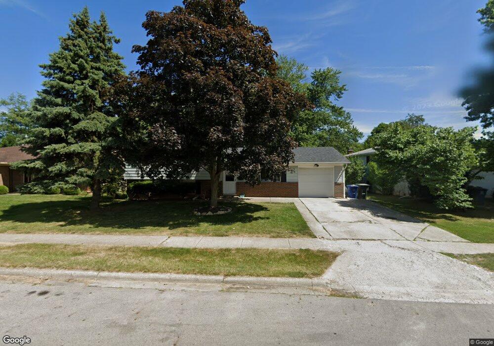
2002 Sharbot Dr Columbus, OH 43229
Forest Park East NeighborhoodEstimated Value: $240,000 - $259,000
3
Beds
1
Bath
1,275
Sq Ft
$195/Sq Ft
Est. Value
About This Home
This home is located at 2002 Sharbot Dr, Columbus, OH 43229 and is currently estimated at $248,342, approximately $194 per square foot. 2002 Sharbot Dr is a home located in Franklin County with nearby schools including Northtowne Elementary School, Woodward Park Middle School, and Northland High School.
Ownership History
Date
Name
Owned For
Owner Type
Purchase Details
Closed on
Nov 26, 2002
Sold by
Thompson Thomas L and Thompson Kathy J
Bought by
Hayes Andrew
Current Estimated Value
Home Financials for this Owner
Home Financials are based on the most recent Mortgage that was taken out on this home.
Original Mortgage
$102,742
Outstanding Balance
$44,164
Interest Rate
6.25%
Mortgage Type
Purchase Money Mortgage
Estimated Equity
$204,178
Purchase Details
Closed on
Jul 7, 1992
Bought by
Thompson Thomas L
Purchase Details
Closed on
Feb 8, 1988
Create a Home Valuation Report for This Property
The Home Valuation Report is an in-depth analysis detailing your home's value as well as a comparison with similar homes in the area
Home Values in the Area
Average Home Value in this Area
Purchase History
| Date | Buyer | Sale Price | Title Company |
|---|---|---|---|
| Hayes Andrew | $108,200 | Title First Agency Inc | |
| Thompson Thomas L | -- | -- | |
| -- | -- | -- |
Source: Public Records
Mortgage History
| Date | Status | Borrower | Loan Amount |
|---|---|---|---|
| Open | Hayes Andrew | $102,742 |
Source: Public Records
Tax History Compared to Growth
Tax History
| Year | Tax Paid | Tax Assessment Tax Assessment Total Assessment is a certain percentage of the fair market value that is determined by local assessors to be the total taxable value of land and additions on the property. | Land | Improvement |
|---|---|---|---|---|
| 2024 | $2,963 | $66,010 | $20,860 | $45,150 |
| 2023 | $2,925 | $66,010 | $20,860 | $45,150 |
| 2022 | $2,226 | $42,920 | $11,800 | $31,120 |
| 2021 | $2,230 | $42,920 | $11,800 | $31,120 |
| 2020 | $2,233 | $42,920 | $11,800 | $31,120 |
| 2019 | $2,111 | $34,800 | $9,420 | $25,380 |
| 2018 | $2,027 | $34,800 | $9,420 | $25,380 |
| 2017 | $2,127 | $34,800 | $9,420 | $25,380 |
| 2016 | $2,145 | $32,380 | $8,890 | $23,490 |
| 2015 | $1,947 | $32,380 | $8,890 | $23,490 |
| 2014 | $1,952 | $32,380 | $8,890 | $23,490 |
| 2013 | $1,013 | $34,055 | $9,345 | $24,710 |
Source: Public Records
Map
Nearby Homes
- 4714 Ascot Dr
- 2033 Brittany Rd
- 4849 Heatherton Dr
- 2134 Trent Rd
- 4885 Northtowne Blvd
- 2244 Balmoral Rd
- 2166 Waldorf Rd
- 2158 Kilbourne Ave
- 5056 Northtowne Blvd Unit 5054
- 2058 Northcliff Dr
- 5124 Northcliff Loop W
- 1704 Riverbirch Dr
- 5022 Sienna Ln
- 4923 Karl Rd Unit 4925
- 5204 Honeytree Loop W
- 4852 Colonel Perry Dr
- 4309 Walford St
- 4761 Colonel Perry Dr
- 2550 Minerva Ave
- 4816 Bourke Rd
- 1994 Sharbot Dr
- 2010 Sharbot Dr
- 1999 Cannington Ct
- 2022 Sharbot Dr
- 1986 Sharbot Dr
- 2007 Cannington Ct
- 4784 Ascot Dr
- 2015 Cannington Ct
- 1989 Sharbot Dr
- 2030 Sharbot Dr
- 1995 Cannington Ct
- 4812 Heaton Rd
- 2023 Sharbot Dr
- 4820 Heaton Rd
- 2023 Cannington Ct
- 4828 Heaton Rd
- 4776 Ascot Dr
- 4777 Ascot Dr
- 2038 Sharbot Dr
- 1975 Sharbot Dr