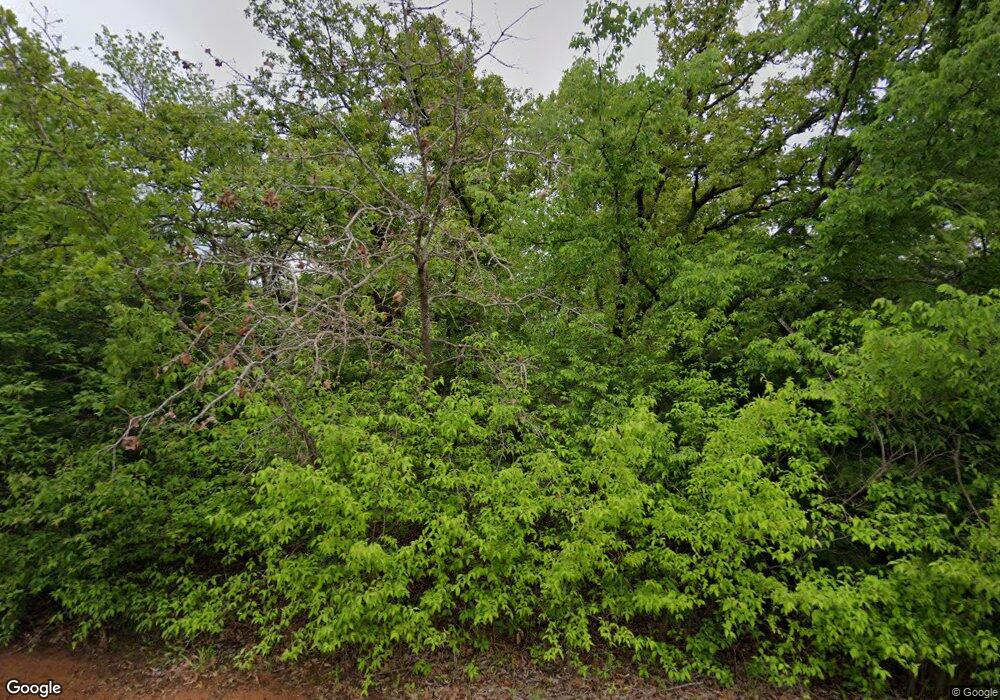
20020 SE 129th St McLoud, OK 74851
Estimated Value: $207,155 - $305,000
3
Beds
2
Baths
1,073
Sq Ft
$226/Sq Ft
Est. Value
About This Home
This home is located at 20020 SE 129th St, McLoud, OK 74851 and is currently estimated at $242,385, approximately $225 per square foot. 20020 SE 129th St is a home located in Cleveland County with nearby schools including Little Axe Elementary School, Little Axe Middle School, and Little Axe High School.
Ownership History
Date
Name
Owned For
Owner Type
Purchase Details
Closed on
Dec 22, 2015
Sold by
Burton Patricia A
Bought by
Burton Bill Dudley
Current Estimated Value
Home Financials for this Owner
Home Financials are based on the most recent Mortgage that was taken out on this home.
Original Mortgage
$84,000
Outstanding Balance
$35,166
Interest Rate
3.94%
Mortgage Type
New Conventional
Estimated Equity
$207,219
Create a Home Valuation Report for This Property
The Home Valuation Report is an in-depth analysis detailing your home's value as well as a comparison with similar homes in the area
Purchase History
| Date | Buyer | Sale Price | Title Company |
|---|---|---|---|
| Burton Bill Dudley | -- | Old Republic Title |
Source: Public Records
Mortgage History
| Date | Status | Borrower | Loan Amount |
|---|---|---|---|
| Open | Burton Bill Dudley | $84,000 |
Source: Public Records
Tax History Compared to Growth
Tax History
| Year | Tax Paid | Tax Assessment Tax Assessment Total Assessment is a certain percentage of the fair market value that is determined by local assessors to be the total taxable value of land and additions on the property. | Land | Improvement |
|---|---|---|---|---|
| 2023 | $1,074 | $11,183 | $3,649 | $7,534 |
| 2022 | $1,054 | $10,857 | $3,503 | $7,354 |
| 2021 | $1,024 | $10,541 | $3,431 | $7,110 |
| 2020 | $1,027 | $10,234 | $3,312 | $6,922 |
| 2019 | $1,012 | $9,936 | $2,321 | $7,615 |
| 2018 | $1,017 | $9,648 | $2,254 | $7,394 |
| 2017 | $976 | $10,274 | $0 | $0 |
| 2016 | $820 | $9,093 | $2,124 | $6,969 |
Source: Public Records
Map
Nearby Homes
- 0 S Dobbs Rd
- 12901 S Dobbs Rd
- 12201 Tamewood Dr
- 14004 S Dobbs Rd
- 0 Hickory Hollow Ln
- 20301 SE 119th St
- 20498 SE 119th St
- 13108 S Luther Rd
- 19201 SE 134th St
- 13501 S Harrah Rd
- 0 Key Ridge Rd
- 2501 SE 119th St
- 21236 SE 129th St
- 13901 E Andrew Ln
- 13901 Andrew Ln
- 14316 Melody Ln
- 18500 SE 149th St
- 10121 Cottonwood Dr
- 0 SE 134th St
- 29168 Osage Hills Dr
- 20001 SE 129th St
- 13200 S Dobbs Rd
- 12800 S Dobbs Rd
- 20200 Quarter Horse Ln
- 13201 S Dobbs Rd
- 12724 S Dobbs Rd
- 13209 S Dobbs Rd
- 20121 SE 134th St
- 20101 SE 134th St
- 12801 S Dobbs Rd
- 20001 SE 134th St
- 12548 S Dobbs Rd
- 20300 Quarter Horse Ln
- 19925 SE 134th St
- 0000 Paddock Dr
- 20229 SE 134th St
- 19801 SE 134th St
- 20351 SE 134th St
- 20100 SE 134th St
- 20200 SE 134th St
