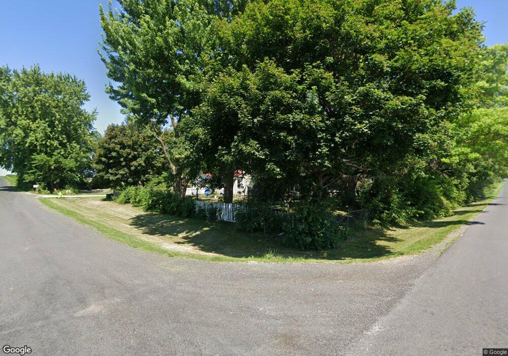
20021 Polo Rd Sterling, IL 61081
Estimated Value: $170,000 - $324,000
Studio
--
Bath
--
Sq Ft
87,120
Sq Ft Lot
About This Home
This home is located at 20021 Polo Rd, Sterling, IL 61081 and is currently estimated at $229,417. 20021 Polo Rd is a home located in Whiteside County.
Ownership History
Date
Name
Owned For
Owner Type
Purchase Details
Closed on
Dec 27, 2022
Sold by
Baker Michael A
Bought by
Weaver Nathan and Weaver Tesla
Current Estimated Value
Home Financials for this Owner
Home Financials are based on the most recent Mortgage that was taken out on this home.
Original Mortgage
$82,828
Outstanding Balance
$80,257
Interest Rate
6.58%
Mortgage Type
New Conventional
Estimated Equity
$149,160
Purchase Details
Closed on
Jan 22, 2020
Sold by
Baker Eugene K and Baker Bronwyn M
Bought by
Baker Eugene K
Create a Home Valuation Report for This Property
The Home Valuation Report is an in-depth analysis detailing your home's value as well as a comparison with similar homes in the area
Purchase History
| Date | Buyer | Sale Price | Title Company |
|---|---|---|---|
| Weaver Nathan | -- | -- | |
| Baker Eugene K | -- | None Available |
Source: Public Records
Mortgage History
| Date | Status | Borrower | Loan Amount |
|---|---|---|---|
| Open | Weaver Nathan | $82,828 |
Source: Public Records
Tax History
| Year | Tax Paid | Tax Assessment Tax Assessment Total Assessment is a certain percentage of the fair market value that is determined by local assessors to be the total taxable value of land and additions on the property. | Land | Improvement |
|---|---|---|---|---|
| 2024 | $2,957 | $49,487 | $8,877 | $40,610 |
| 2023 | $2,730 | $46,086 | $8,267 | $37,819 |
| 2022 | $2,927 | $42,072 | $7,547 | $34,525 |
| 2021 | $2,866 | $40,385 | $6,761 | $33,624 |
| 2020 | $2,722 | $38,063 | $6,372 | $31,691 |
| 2019 | $1,655 | $35,208 | $5,894 | $29,314 |
| 2018 | $1,650 | $34,729 | $5,814 | $28,915 |
| 2017 | $1,705 | $33,672 | $5,637 | $28,035 |
| 2016 | $1,735 | $35,741 | $5,983 | $29,758 |
| 2015 | $1,756 | $33,949 | $5,683 | $28,266 |
| 2014 | $18 | $35,083 | $5,873 | $29,210 |
| 2013 | $1,756 | $33,949 | $5,683 | $28,266 |
Source: Public Records
Map
Nearby Homes
- 104 Gaston St
- 1725 Heritage Dr
- 0 Pilgrim Rd Unit 22272762
- Lot 3 Lenox Rd
- Lot 5 Lenox Rd
- Lot 4 Lenox Rd
- 0 E Lincolnway Unit MRD12284937
- 2408 16th Ave
- 2212 12th Ave
- Lot 4 E 19th St
- Lot 1 E 19th St
- 1825 18th Ave
- 905 E 21st St
- 2912 Woodlawn Rd
- Lot 403 E 21st St
- 376 Kilgore Rd
- 1606 Gregden Shores Dr
- 1275 Winn Rd
- 802 E 19th St
- 1307 Sinnissippi Park Rd
Your Personal Tour Guide
Ask me questions while you tour the home.