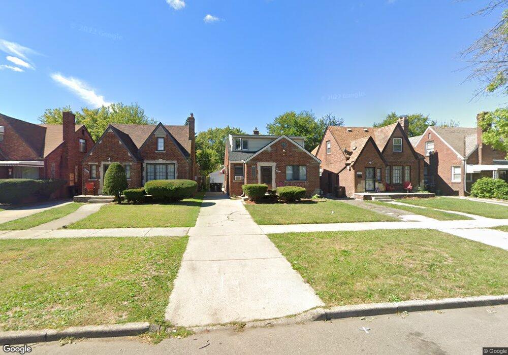
20021 Spencer St Detroit, MI 48234
Sherwood NeighborhoodEstimated Value: $103,000 - $140,000
--
Bed
1
Bath
2,125
Sq Ft
$59/Sq Ft
Est. Value
About This Home
This home is located at 20021 Spencer St, Detroit, MI 48234 and is currently estimated at $124,560, approximately $58 per square foot. 20021 Spencer St is a home located in Wayne County with nearby schools including Marion Law Academy, Edward 'Duke' Ellington Conservatory of Music and Art, and Charles L. Spain Elementary-Middle School.
Ownership History
Date
Name
Owned For
Owner Type
Purchase Details
Closed on
Oct 24, 2018
Sold by
Wayne County Treasurer
Bought by
Council Charles G
Current Estimated Value
Purchase Details
Closed on
Nov 1, 2004
Sold by
Goshea Mattie L
Bought by
Walker Damon
Purchase Details
Closed on
Feb 7, 2004
Sold by
Daniels Julia M
Bought by
Goshea Mattie L
Purchase Details
Closed on
Jul 1, 2003
Sold by
Goshea Mattie L
Bought by
Daniels Julia M
Create a Home Valuation Report for This Property
The Home Valuation Report is an in-depth analysis detailing your home's value as well as a comparison with similar homes in the area
Home Values in the Area
Average Home Value in this Area
Purchase History
| Date | Buyer | Sale Price | Title Company |
|---|---|---|---|
| Council Charles G | $21,900 | None Available | |
| Walker Damon | $104,000 | Lawyers Title Ins | |
| Goshea Mattie L | -- | -- | |
| Daniels Julia M | $53,000 | Title Plus |
Source: Public Records
Tax History Compared to Growth
Tax History
| Year | Tax Paid | Tax Assessment Tax Assessment Total Assessment is a certain percentage of the fair market value that is determined by local assessors to be the total taxable value of land and additions on the property. | Land | Improvement |
|---|---|---|---|---|
| 2025 | $1,269 | $55,300 | $0 | $0 |
| 2024 | $1,269 | $47,200 | $0 | $0 |
| 2023 | $1,232 | $37,900 | $0 | $0 |
| 2022 | $1,102 | $31,900 | $0 | $0 |
| 2021 | $1,075 | $22,800 | $0 | $0 |
| 2020 | $1,064 | $21,800 | $0 | $0 |
| 2019 | $1,049 | $17,400 | $0 | $0 |
| 2018 | $900 | $13,100 | $0 | $0 |
| 2017 | $209 | $11,000 | $0 | $0 |
| 2016 | $1,266 | $35,700 | $0 | $0 |
| 2015 | $1,710 | $17,100 | $0 | $0 |
| 2013 | $1,678 | $21,320 | $0 | $0 |
| 2010 | -- | $31,258 | $1,028 | $30,230 |
Source: Public Records
Map
Nearby Homes
- 19985 Packard St
- 20124 Spencer St
- 20158 Stotter St
- 20178 Stotter St
- 20209 Stotter St
- 20143 Rogge St
- 20192 Rogge St
- 20220 Spencer St
- 20215 Stotter St
- 20229 Stotter St
- 19721 Spencer St
- 4470 Outer Dr E
- 20035 Carrie St
- 20170 Carrie St
- 19698 Packard St
- 20234 Stotter St
- 20119 Carrie St
- 20400 Packard St
- 20151 Carrie St
- 20185 Carrie St
- 20013 Spencer St
- 20029 Spencer St
- 20007 Spencer St
- 20037 Spencer St
- 20043 Spencer St
- 20001 Spencer St
- 20030 Packard St
- 20014 Packard St
- 19993 Spencer St
- 20051 Spencer St
- 20006 Packard St
- 20036 Packard St
- 20000 Packard St
- 20042 Packard St
- 19985 Spencer St
- 20020 Spencer St
- 20014 Spencer St
- 20028 Spencer St
- 19990 Packard St
- 20050 Packard St