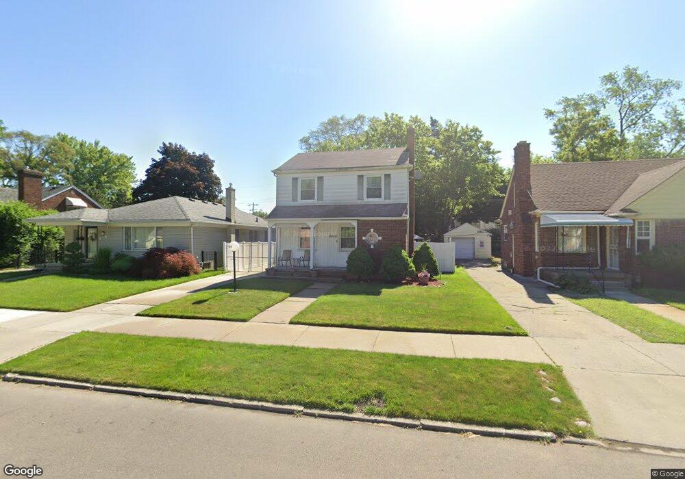
20024 Littlefield St Detroit, MI 48235
Blackstone Park NeighborhoodEstimated Value: $114,887 - $164,000
--
Bed
2
Baths
1,189
Sq Ft
$111/Sq Ft
Est. Value
About This Home
This home is located at 20024 Littlefield St, Detroit, MI 48235 and is currently estimated at $131,722, approximately $110 per square foot. 20024 Littlefield St is a home located in Wayne County with nearby schools including Vernor Elementary School, Charles L. Spain Elementary-Middle School, and Edward 'Duke' Ellington Conservatory of Music and Art.
Ownership History
Date
Name
Owned For
Owner Type
Purchase Details
Closed on
Apr 30, 2003
Sold by
Norman Kenneth D
Bought by
Rice Michael
Current Estimated Value
Home Financials for this Owner
Home Financials are based on the most recent Mortgage that was taken out on this home.
Original Mortgage
$84,295
Outstanding Balance
$36,876
Interest Rate
5.88%
Mortgage Type
FHA
Estimated Equity
$94,846
Purchase Details
Closed on
Oct 30, 2002
Sold by
Norman Kenneth D
Bought by
Bank One
Create a Home Valuation Report for This Property
The Home Valuation Report is an in-depth analysis detailing your home's value as well as a comparison with similar homes in the area
Home Values in the Area
Average Home Value in this Area
Purchase History
| Date | Buyer | Sale Price | Title Company |
|---|---|---|---|
| Rice Michael | $85,000 | Attorneys Title Agency Llc | |
| Bank One | $72,165 | -- |
Source: Public Records
Mortgage History
| Date | Status | Borrower | Loan Amount |
|---|---|---|---|
| Open | Rice Michael | $84,295 |
Source: Public Records
Tax History Compared to Growth
Tax History
| Year | Tax Paid | Tax Assessment Tax Assessment Total Assessment is a certain percentage of the fair market value that is determined by local assessors to be the total taxable value of land and additions on the property. | Land | Improvement |
|---|---|---|---|---|
| 2025 | $1,158 | $45,400 | $0 | $0 |
| 2024 | $1,158 | $39,800 | $0 | $0 |
| 2023 | $1,123 | $32,500 | $0 | $0 |
| 2022 | $1,228 | $27,300 | $0 | $0 |
| 2021 | $1,197 | $22,100 | $0 | $0 |
| 2020 | $1,185 | $20,200 | $0 | $0 |
| 2019 | $1,167 | $15,400 | $0 | $0 |
| 2018 | $997 | $13,100 | $0 | $0 |
| 2017 | $239 | $13,600 | $0 | $0 |
| 2016 | $1,125 | $14,700 | $0 | $0 |
| 2015 | $1,470 | $14,700 | $0 | $0 |
| 2013 | $2,162 | $21,619 | $0 | $0 |
| 2010 | -- | $31,695 | $985 | $30,710 |
Source: Public Records
Map
Nearby Homes
- 20108 Cheyenne St
- 20124 Snowden St
- 20129 Ward St
- 19909 Hartwell St
- 20167 Ward St
- 19744 Littlefield St
- 19744 Snowden St
- 13517 Pembroke Ave
- 20184 Ward St
- 19719 Ward St
- 20196 Hartwell St
- 20150 Schaefer Hwy
- 19925 Schaefer Hwy
- 19978 Tracey St
- 19721 Hartwell St
- 20242 Ward St
- 19474 Cheyenne St
- 12819 Pembroke Ave
- 20123 Appoline St
- 19733 Schaefer Hwy
- 20014 Littlefield St
- 20030 Littlefield St
- 20040 Littlefield St
- 20004 Littlefield St
- 20043 Cheyenne St
- 20025 Cheyenne St
- 20035 Cheyenne St
- 20015 Cheyenne St
- 19996 Littlefield St
- 19996 Littlefield St
- 20003 Cheyenne St
- 20025 Littlefield St
- 19997 Cheyenne St
- 20031 Littlefield St
- 20015 Littlefield St
- 19986 Littlefield St
- 20100 Littlefield St
- 20041 Littlefield St
- 20005 Littlefield St
- 19985 Cheyenne St